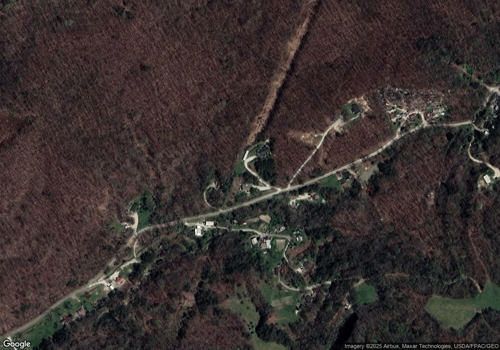
717 Coal Bank Hollow Ironton, OH 45638
Estimated Value: $222,000 - $294,000
3
Beds
2
Baths
2,100
Sq Ft
$126/Sq Ft
Est. Value
About This Home
This home is located at 717 Coal Bank Hollow, Ironton, OH 45638 and is currently estimated at $265,494, approximately $126 per square foot. 717 Coal Bank Hollow is a home located in Scioto County with nearby schools including Green Elementary School and Green High School.
Ownership History
Date
Name
Owned For
Owner Type
Purchase Details
Closed on
Mar 17, 2022
Sold by
Ann Lowe Mary
Bought by
Mcdowell George E
Current Estimated Value
Home Financials for this Owner
Home Financials are based on the most recent Mortgage that was taken out on this home.
Original Mortgage
$133,055
Outstanding Balance
$122,801
Interest Rate
2.9%
Mortgage Type
New Conventional
Estimated Equity
$142,693
Purchase Details
Closed on
Aug 28, 2000
Bought by
Lowe Mary Ann + Terry R J
Purchase Details
Closed on
Jul 30, 1998
Sold by
Whitt James
Bought by
Clark William
Create a Home Valuation Report for This Property
The Home Valuation Report is an in-depth analysis detailing your home's value as well as a comparison with similar homes in the area
Home Values in the Area
Average Home Value in this Area
Purchase History
| Date | Buyer | Sale Price | Title Company |
|---|---|---|---|
| Mcdowell George E | $149,500 | Best Title | |
| Lowe Mary Ann + Terry R J | $29,500 | -- | |
| Clark William | $4,000 | -- |
Source: Public Records
Mortgage History
| Date | Status | Borrower | Loan Amount |
|---|---|---|---|
| Open | Mcdowell George E | $133,055 |
Source: Public Records
Tax History Compared to Growth
Tax History
| Year | Tax Paid | Tax Assessment Tax Assessment Total Assessment is a certain percentage of the fair market value that is determined by local assessors to be the total taxable value of land and additions on the property. | Land | Improvement |
|---|---|---|---|---|
| 2024 | $3,338 | $62,970 | $7,760 | $55,210 |
| 2023 | $3,338 | $66,690 | $7,760 | $58,930 |
| 2022 | $2,761 | $66,690 | $7,760 | $58,930 |
| 2021 | $2,461 | $60,810 | $6,870 | $53,940 |
| 2020 | $2,463 | $60,810 | $6,870 | $53,940 |
| 2019 | $2,445 | $57,100 | $6,210 | $50,890 |
| 2018 | $2,315 | $57,100 | $6,210 | $50,890 |
| 2017 | $1,911 | $57,100 | $6,210 | $50,890 |
| 2016 | $2,683 | $56,990 | $5,760 | $51,230 |
| 2015 | $2,677 | $56,990 | $5,760 | $51,230 |
| 2013 | $2,341 | $56,990 | $5,760 | $51,230 |
Source: Public Records
Map
Nearby Homes
- 0 Disterdick Ln Unit 153942
- 58 Private Drive 4037
- 0 Township Road 330 Unit 59289
- 0 Township Road 330 Unit Happy Hollow Road
- 101 Magnolia Ln
- 1601 Gainesway Dr
- 608 Wurtland Ave
- 905 Adams Ave
- 0 Cox St
- 612 Fulton Ave
- 503 Fulton Ave
- 11593 U S 23 Hwy
- 710 Apel Rd
- 1425 Walnut St
- 901 Eastern
- 0 Tango Ave
- 18 Tango Ave
- 19 Tango Ave
- 1201 Walnut St
- 401 Stewart Ave
- 717 Coal Bank Hollow Unit JO-20
- 645 Coal Bank Hollow
- 975 Coal Bank Hollow
- 733 Coal Bank Hollow
- 602 Coal Bank Hollow
- 537 Coal Bank Hollow
- 0 Coal Bank Hollow
- 462 Coal Bank Hollow
- 960 Coal Bank Hollow
- 788 Coal Bank Hollow
- 788 Coal Bank Hollow
- 867 Coal Bank Hollow
- 0 Coal Bank Hollow
- 901 Coal Bank Hollow
- 444 Coal Bank Hollow
- 309 Coal Bank Hollow
- 306 Coal Bank Hollow
- 264 Coal Bank Hollow
- 4301 Haverhill Ohio Furnace Rd
- 1180 Coal Bank Hollow
