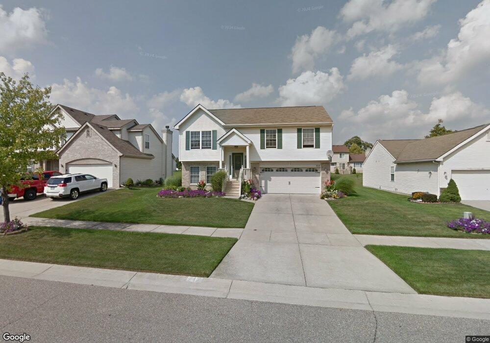
717 Columbia Dr Flint, MI 48503
Downtown Flint NeighborhoodEstimated Value: $148,000 - $221,000
3
Beds
3
Baths
1,667
Sq Ft
$111/Sq Ft
Est. Value
About This Home
This home is located at 717 Columbia Dr, Flint, MI 48503 and is currently estimated at $184,575, approximately $110 per square foot. 717 Columbia Dr is a home located in Genesee County with nearby schools including Doyle/Ryder School, Flint Cultural Center Academy, and WAY Academy of Flint.
Ownership History
Date
Name
Owned For
Owner Type
Purchase Details
Closed on
May 24, 2001
Sold by
Charter Oak Homes Inc
Bought by
Alexander David A
Current Estimated Value
Home Financials for this Owner
Home Financials are based on the most recent Mortgage that was taken out on this home.
Original Mortgage
$100,000
Interest Rate
7.27%
Purchase Details
Closed on
Sep 29, 2000
Sold by
Community Capital & Development Corp
Bought by
Charter Oaks Homes Inc
Create a Home Valuation Report for This Property
The Home Valuation Report is an in-depth analysis detailing your home's value as well as a comparison with similar homes in the area
Home Values in the Area
Average Home Value in this Area
Purchase History
| Date | Buyer | Sale Price | Title Company |
|---|---|---|---|
| Alexander David A | $134,077 | -- | |
| Charter Oaks Homes Inc | -- | -- |
Source: Public Records
Mortgage History
| Date | Status | Borrower | Loan Amount |
|---|---|---|---|
| Previous Owner | Alexander David A | $100,000 |
Source: Public Records
Tax History
| Year | Tax Paid | Tax Assessment Tax Assessment Total Assessment is a certain percentage of the fair market value that is determined by local assessors to be the total taxable value of land and additions on the property. | Land | Improvement |
|---|---|---|---|---|
| 2025 | $2,165 | $73,400 | $0 | $0 |
| 2024 | $1,921 | $66,400 | $0 | $0 |
| 2023 | $1,863 | $62,500 | $0 | $0 |
| 2022 | $0 | $54,900 | $0 | $0 |
| 2021 | $1,964 | $52,500 | $0 | $0 |
| 2020 | $1,730 | $40,100 | $0 | $0 |
| 2019 | $1,717 | $30,300 | $0 | $0 |
| 2018 | $1,806 | $30,700 | $0 | $0 |
| 2017 | $1,793 | $0 | $0 | $0 |
| 2016 | $1,827 | $0 | $0 | $0 |
| 2015 | -- | $0 | $0 | $0 |
| 2014 | -- | $0 | $0 | $0 |
| 2012 | -- | $33,900 | $0 | $0 |
Source: Public Records
Map
Nearby Homes
- 1706 Wilberforce Cir
- 1710 Wilberforce Cir
- 1214 Root St
- 1303 Root St
- 429 Page St
- 1016 Garland St
- 800 Martin Luther King Ave
- 1606 Garland St
- 1273 Broadway Blvd
- 1379 Washington Ave
- 2217 Francis Ave
- 416 W 2nd Ave Unit 4
- 407 W 2nd Ave
- 607 East St
- 621 Pierson St
- 1445 Kearsley Park Blvd Kearsley Park Blvd
- 710 Pierson St
- 1540 Illinois Ave
- 115 W Baker St
- 218 E Jackson Ave
- 713 Columbia Dr
- 721 Columbia Dr
- 725 Columbia Dr
- 709 Columbia Dr
- 714 Loyola Dr
- 718 Loyola Dr
- 710 Loyola Dr
- 705 Columbia Dr
- 729 Columbia Dr
- 722 Loyola Dr
- 730 Loyola Dr
- 1413 Columbia Ln
- 701 Columbia Dr
- 726 Loyola Dr
- 702 Loyola Dr
- 706 Loyola Dr
- 714 Columbia Ln
- 1502 Loyola Ln
- 718 Columbia Ln
- 722 Columbia Ln
Your Personal Tour Guide
Ask me questions while you tour the home.