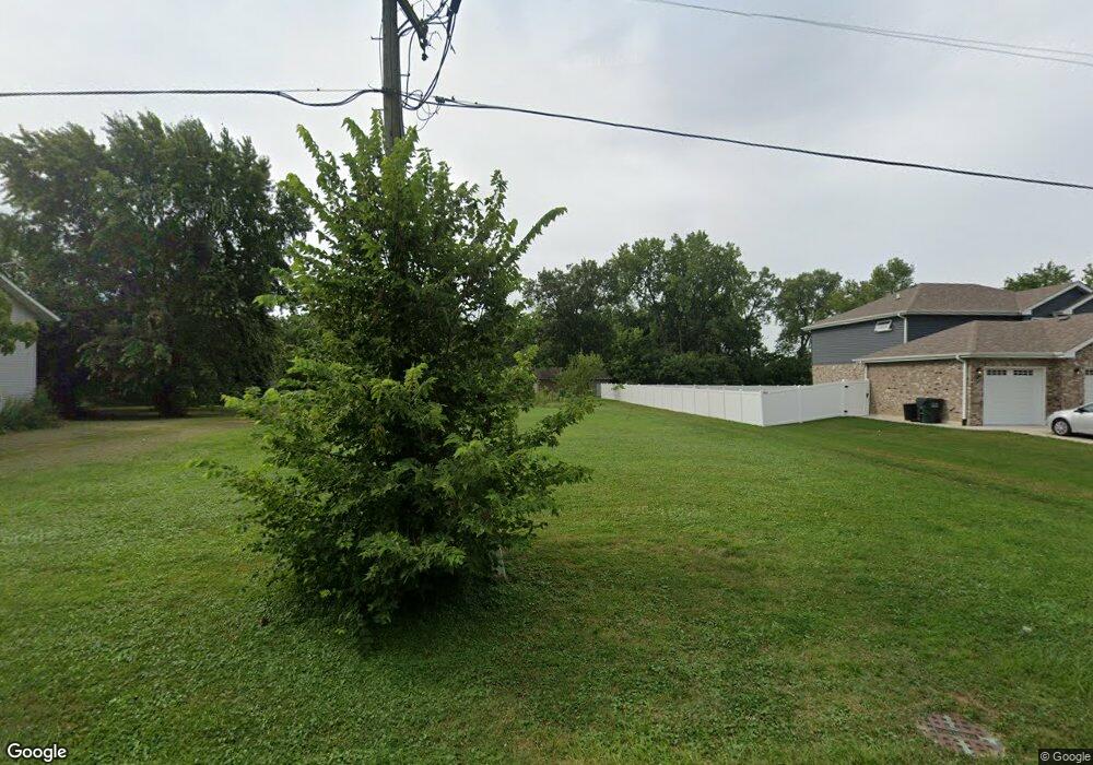
717 E North St Lockport, IL 60441
Estimated Value: $53,731 - $281,000
Studio
1
Bath
729
Sq Ft
$245/Sq Ft
Est. Value
About This Home
This home is located at 717 E North St, Lockport, IL 60441 and is currently estimated at $178,933, approximately $245 per square foot. 717 E North St is a home located in Will County with nearby schools including Walsh Elementary School, Ludwig Elementary School, and Reed Elementary School.
Ownership History
Date
Name
Owned For
Owner Type
Purchase Details
Closed on
Mar 10, 2020
Sold by
Brien Teresa M O
Bought by
Brien Teresa M O and Terri S Trust
Current Estimated Value
Purchase Details
Closed on
Nov 21, 2018
Sold by
Obrien Teresa M and Obrien Family Trust
Bought by
Obrien John D and Obrien Melissa A
Purchase Details
Closed on
May 1, 2017
Sold by
Brien Mildred E O
Bought by
Brien Teresa M O and The O Brien Family Trust
Purchase Details
Closed on
Sep 8, 1997
Sold by
Obrien Mildred E
Bought by
Obrien Gregg D and Obrien Teresa M
Create a Home Valuation Report for This Property
The Home Valuation Report is an in-depth analysis detailing your home's value as well as a comparison with similar homes in the area
Home Values in the Area
Average Home Value in this Area
Purchase History
| Date | Buyer | Sale Price | Title Company |
|---|---|---|---|
| Brien Teresa M O | -- | None Available | |
| Obrien John D | $35,000 | Wheatland Title Guaranty | |
| Obrien Teresa M | $35,000 | Wheatland Title Guaranty | |
| Brien Teresa M O | -- | Attorney | |
| Obrien Gregg D | -- | -- |
Source: Public Records
Tax History Compared to Growth
Tax History
| Year | Tax Paid | Tax Assessment Tax Assessment Total Assessment is a certain percentage of the fair market value that is determined by local assessors to be the total taxable value of land and additions on the property. | Land | Improvement |
|---|---|---|---|---|
| 2024 | $2,437 | $31,996 | $31,996 | $0 |
| 2023 | $2,437 | $28,724 | $28,724 | $0 |
| 2022 | $2,298 | $27,059 | $27,059 | $0 |
| 2021 | $2,042 | $25,429 | $25,429 | $0 |
| 2020 | $1,993 | $24,593 | $24,593 | $0 |
| 2019 | $2,842 | $35,178 | $23,311 | $11,867 |
| 2018 | $1,882 | $33,825 | $22,414 | $11,411 |
| 2017 | $1,749 | $31,931 | $21,159 | $10,772 |
| 2016 | $1,605 | $29,926 | $19,830 | $10,096 |
| 2015 | $1,975 | $28,474 | $18,868 | $9,606 |
| 2014 | $1,975 | $27,119 | $17,970 | $9,149 |
| 2013 | $1,975 | $28,546 | $18,916 | $9,630 |
Source: Public Records
Map
Nearby Homes
- 936 Treeline Ct Unit 5B
- 927 Treeline Ct Unit A
- 308 Macgregor Rd
- 134 S Jefferson St
- 118 N State St
- 120 N State St
- 605 Gloria St
- 0 151st & MacGregor St Unit MRD11873272
- 0 Smith Rd South of 135th St Unit MRD12274096
- 0 N State St Unit 10995892
- 540 E 4th St
- 613 E 3rd St
- 9.5 Acres S Archer Ave
- 501 S Hamilton St
- 701 E 7th St
- 15303 S Oak Run Ct
- 16665 W Merc Ln
- 14903 S Preserve Dr
- 1.4 Acres S Archer Ave
- 1600 Fairmount
