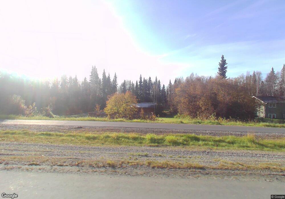
717 Farmers Loop Rd Fairbanks, AK 99712
Farmers Loop NeighborhoodEstimated Value: $178,000 - $305,000
--
Bed
2
Baths
693
Sq Ft
$357/Sq Ft
Est. Value
About This Home
This home is located at 717 Farmers Loop Rd, Fairbanks, AK 99712 and is currently estimated at $247,132, approximately $356 per square foot. 717 Farmers Loop Rd is a home located in Fairbanks North Star Borough with nearby schools including Pearl Creek Elementary School, Randy Smith Middle School, and West Valley High School.
Ownership History
Date
Name
Owned For
Owner Type
Purchase Details
Closed on
Jan 15, 2004
Sold by
Aaron Bob M
Bought by
Wright William G and Wright Cindy L
Current Estimated Value
Home Financials for this Owner
Home Financials are based on the most recent Mortgage that was taken out on this home.
Original Mortgage
$97,250
Interest Rate
6.02%
Create a Home Valuation Report for This Property
The Home Valuation Report is an in-depth analysis detailing your home's value as well as a comparison with similar homes in the area
Home Values in the Area
Average Home Value in this Area
Purchase History
| Date | Buyer | Sale Price | Title Company |
|---|---|---|---|
| Wright William G | -- | Fairbanks Title Agency Inc |
Source: Public Records
Mortgage History
| Date | Status | Borrower | Loan Amount |
|---|---|---|---|
| Closed | Wright William G | $97,250 |
Source: Public Records
Tax History Compared to Growth
Tax History
| Year | Tax Paid | Tax Assessment Tax Assessment Total Assessment is a certain percentage of the fair market value that is determined by local assessors to be the total taxable value of land and additions on the property. | Land | Improvement |
|---|---|---|---|---|
| 2025 | $2,528 | $214,692 | $13,081 | $201,611 |
| 2024 | $2,491 | $212,740 | $13,081 | $199,659 |
| 2023 | $2,403 | $209,025 | $13,081 | $195,944 |
| 2022 | $2,300 | $185,270 | $13,081 | $172,189 |
| 2021 | $2,347 | $174,966 | $13,081 | $161,885 |
| 2020 | $2,301 | $171,254 | $13,081 | $158,173 |
| 2019 | $2,260 | $169,752 | $13,081 | $156,671 |
| 2018 | $2,063 | $166,920 | $13,081 | $153,839 |
| 2017 | $2,297 | $163,628 | $13,081 | $150,547 |
| 2016 | $2,259 | $165,789 | $13,081 | $152,708 |
| 2015 | $2,309 | $166,532 | $13,081 | $153,451 |
| 2014 | $2,309 | $167,275 | $13,081 | $154,194 |
Source: Public Records
Map
Nearby Homes
- 869 Bouton Ct
- 1020 Chickadee Loop
- 578 Farmers Loop Rd
- 890 Viridian Ln
- 824 Vide Dr
- 493 Valley View Dr
- 452 Marshall Dr
- 390 Layla Ct
- NHN Constitution Dr
- 665 Lancaster Dr
- 682 Lancaster Dr
- 901 Ski Boot Hill Rd
- 774 Capricorn St
- NHN Aspen Heights Dr
- 864 Capricorn St
- 666 Lowell Rd
- 815 Mcgrath Rd
- 650 Lowell Rd
- 803 Capricorn St
- 675 Mcgrath Rd
- 719 Farmers Loop Rd
- 890 Delphinium Ln
- 869 Delphinium Ln
- 705 Farmers Loop Rd
- 845 Delphinium Ln
- 863 Delphinium Ln
- 691 Farmers Loop Rd
- 889 Delphinium Ln
- 861 Bouton Ct
- 673 Farmers Loop Rd
- 775 Farmers Loop Rd
- 857 Bouton Ct
- 750 Farmers Loop Rd
- 887 Bouton Ct
- 910 Water Thrush Dr
- 858 Bouton Ct
- 655 Farmers Loop Rd
- 900 Water Thrush Dr
- 864 Bouton Ct
- 962 Starling Ct