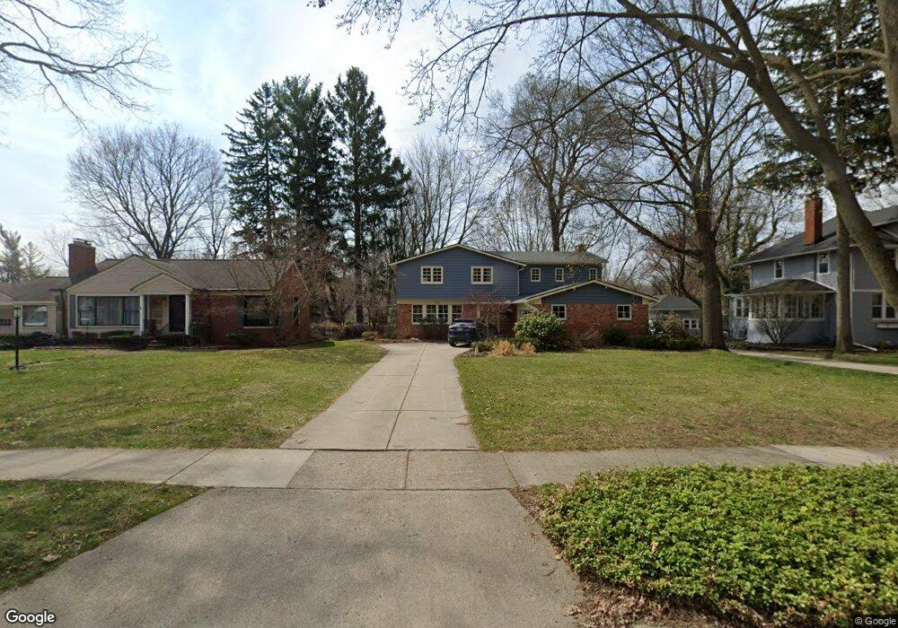
717 Lexington Blvd Royal Oak, MI 48073
Estimated Value: $549,000 - $623,000
4
Beds
3
Baths
2,513
Sq Ft
$231/Sq Ft
Est. Value
About This Home
This home is located at 717 Lexington Blvd, Royal Oak, MI 48073 and is currently estimated at $581,109, approximately $231 per square foot. 717 Lexington Blvd is a home located in Oakland County with nearby schools including Addams Elementary, Royal Oak Middle School, and Royal Oak High School.
Ownership History
Date
Name
Owned For
Owner Type
Purchase Details
Closed on
Dec 31, 2019
Sold by
Gibbs Laura M and Mcmasters Rlt Leveme F
Bought by
Mcmasters Leveme F and Gibbs Laura M
Current Estimated Value
Home Financials for this Owner
Home Financials are based on the most recent Mortgage that was taken out on this home.
Original Mortgage
$300,000
Outstanding Balance
$265,062
Interest Rate
3.6%
Mortgage Type
Unknown
Estimated Equity
$316,047
Purchase Details
Closed on
Jan 9, 2004
Sold by
Mcmasters Robert L and Mcmasters Leverne F
Bought by
Mcmasters Leverne F and Leverne F Mcmasters Revocable Living Tr
Purchase Details
Closed on
Oct 7, 1996
Sold by
Mcmasters Robert L
Bought by
Mcmasters Leverne F
Create a Home Valuation Report for This Property
The Home Valuation Report is an in-depth analysis detailing your home's value as well as a comparison with similar homes in the area
Home Values in the Area
Average Home Value in this Area
Purchase History
| Date | Buyer | Sale Price | Title Company |
|---|---|---|---|
| Mcmasters Leveme F | $375,000 | Amrock | |
| Mcmasters Leverne F | -- | -- | |
| Mcmasters Leverne F | -- | -- |
Source: Public Records
Mortgage History
| Date | Status | Borrower | Loan Amount |
|---|---|---|---|
| Open | Mcmasters Leveme F | $300,000 |
Source: Public Records
Tax History Compared to Growth
Tax History
| Year | Tax Paid | Tax Assessment Tax Assessment Total Assessment is a certain percentage of the fair market value that is determined by local assessors to be the total taxable value of land and additions on the property. | Land | Improvement |
|---|---|---|---|---|
| 2024 | $4,441 | $226,480 | $0 | $0 |
| 2022 | $5,247 | $204,330 | $0 | $0 |
| 2020 | $4,316 | $181,450 | $0 | $0 |
| 2018 | $5,247 | $169,880 | $0 | $0 |
| 2017 | $5,043 | $169,880 | $0 | $0 |
| 2015 | -- | $152,710 | $0 | $0 |
| 2014 | -- | $148,800 | $0 | $0 |
| 2011 | -- | $117,340 | $0 | $0 |
Source: Public Records
Map
Nearby Homes
- 920 W Windemere Ave
- 1012 W Windemere Ave
- 3553 Marais Ave
- 1212 W Windemere Ave
- 306 Charlotte Ave
- 407 Jeffrey Ave
- 306 W 13 Mile Rd
- 1304 W Windemere Ave
- 320 W Sunnybrook Dr
- 922 Butternut Ave
- 816 Royal Ave
- 253 Massoit St
- 112 Jeffrey Ave
- 142 Midland Blvd
- 206 E Windemere Ave
- 2931 N Main St
- 1123 Royal Ave
- 1502 Normandy Rd Unit 113
- 140 E Lawrence Ave
- 216 Woodside Rd
- 709 Lexington Blvd
- 703 Lexington Blvd
- 803 Lexington Blvd
- 811 Lexington Blvd
- 619 Lexington Blvd
- 817 Lexington Blvd
- 611 Lexington Blvd
- 802 Mount Vernon Blvd
- 702 Mount Vernon Blvd
- 823 Lexington Blvd
- 716 Mount Vernon Blvd
- 618 Mount Vernon Blvd
- 605 Lexington Blvd
- 816 Mount Vernon Blvd
- 708 Lexington Blvd
- 714 Lexington Blvd
- 810 Mount Vernon Blvd
- 702 Lexington Blvd
- 810 Lexington Blvd
- 612 Mount Vernon Blvd