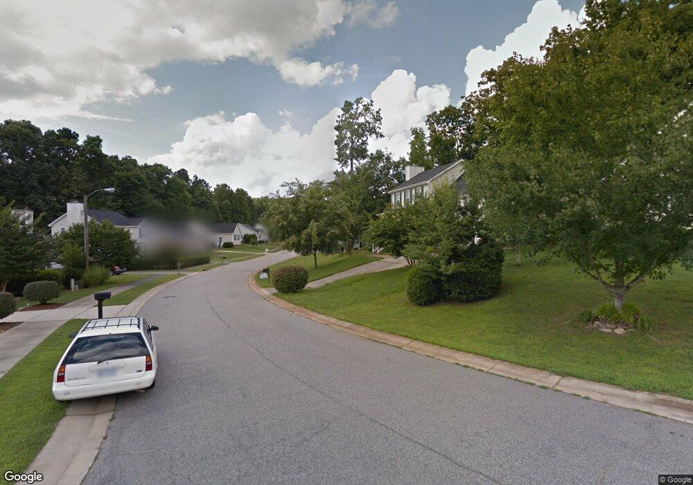
717 Marjoram Ct Wake Forest, NC 27587
Estimated Value: $414,000 - $466,000
4
Beds
3
Baths
2,108
Sq Ft
$211/Sq Ft
Est. Value
About This Home
This home is located at 717 Marjoram Ct, Wake Forest, NC 27587 and is currently estimated at $444,654, approximately $210 per square foot. 717 Marjoram Ct is a home located in Wake County with nearby schools including Richland Creek Elementary School, Wake Forest-Rolesville Middle School, and Wake Forest High School.
Ownership History
Date
Name
Owned For
Owner Type
Purchase Details
Closed on
Jul 1, 2013
Sold by
Knowles Alicia G and Knowles Wilbert
Bought by
Burrell Linda
Current Estimated Value
Purchase Details
Closed on
Oct 21, 2005
Sold by
Griffin Pamela and Evans Ronald
Bought by
Knowles Alicia G
Home Financials for this Owner
Home Financials are based on the most recent Mortgage that was taken out on this home.
Original Mortgage
$160,650
Interest Rate
9.65%
Mortgage Type
Fannie Mae Freddie Mac
Purchase Details
Closed on
Aug 17, 1999
Sold by
Affordable Homes Of Wake Forest Inc
Bought by
Griffin Pamela
Home Financials for this Owner
Home Financials are based on the most recent Mortgage that was taken out on this home.
Original Mortgage
$128,400
Interest Rate
8.87%
Create a Home Valuation Report for This Property
The Home Valuation Report is an in-depth analysis detailing your home's value as well as a comparison with similar homes in the area
Home Values in the Area
Average Home Value in this Area
Purchase History
| Date | Buyer | Sale Price | Title Company |
|---|---|---|---|
| Burrell Linda | $150,000 | None Available | |
| Knowles Alicia G | $189,000 | None Available | |
| Griffin Pamela | $160,500 | -- |
Source: Public Records
Mortgage History
| Date | Status | Borrower | Loan Amount |
|---|---|---|---|
| Previous Owner | Knowles Alicia G | $160,650 | |
| Previous Owner | Griffin Pamela | $128,400 |
Source: Public Records
Tax History Compared to Growth
Tax History
| Year | Tax Paid | Tax Assessment Tax Assessment Total Assessment is a certain percentage of the fair market value that is determined by local assessors to be the total taxable value of land and additions on the property. | Land | Improvement |
|---|---|---|---|---|
| 2025 | $4,542 | $469,647 | $85,000 | $384,647 |
| 2024 | $4,525 | $469,647 | $85,000 | $384,647 |
| 2023 | $2,982 | $254,897 | $42,000 | $212,897 |
| 2022 | $2,861 | $254,897 | $42,000 | $212,897 |
| 2021 | $2,811 | $254,897 | $42,000 | $212,897 |
| 2020 | $2,811 | $254,897 | $42,000 | $212,897 |
| 2019 | $2,474 | $197,821 | $42,000 | $155,821 |
| 2018 | $2,343 | $197,821 | $42,000 | $155,821 |
| 2017 | $2,265 | $197,821 | $42,000 | $155,821 |
| 2016 | $2,237 | $197,821 | $42,000 | $155,821 |
| 2015 | -- | $195,572 | $40,000 | $155,572 |
| 2014 | $2,167 | $195,572 | $40,000 | $155,572 |
Source: Public Records
Map
Nearby Homes
- 921 Borage Dr
- 1017 Micato Way
- 880 Whistable Ave
- 1020 Micato Way
- 1116 Crendall Way
- 8317 Dolce Dr
- 1320 Hosmer Ct
- 524 Findhorn Ln
- 517 Wheddon Cross Way
- 1418 Chatuga Way
- 1428 Chatuga Way
- 1041 Barnford Mill Rd
- 824 Stackhurst Way
- 521 Brushford Ln
- 321 Devon Cliffs Dr
- 317 Devon Cliffs Dr
- 317 Devon Dr
- 738 Cormiche Ln
- 1012 Coram Fields Rd
- 210 Lilliput Ln