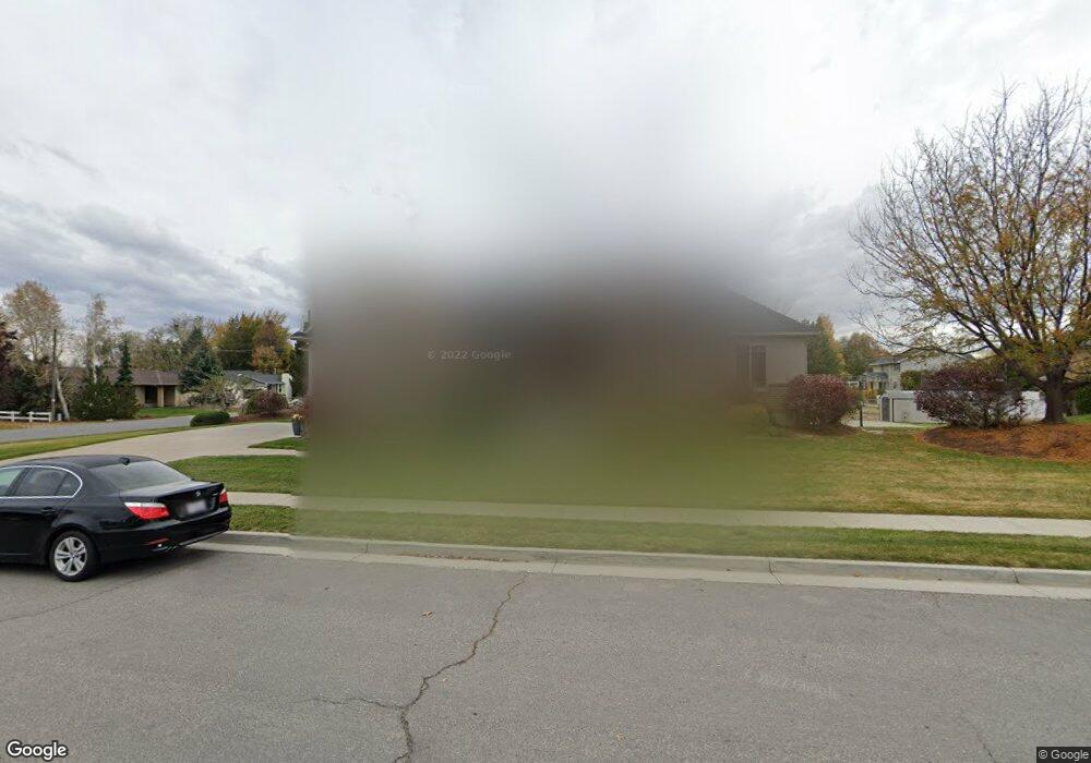
717 N 1550 W Unit 1 Kaysville, UT 84037
West Kaysville NeighborhoodEstimated Value: $975,000 - $1,125,000
--
Bed
4
Baths
2,394
Sq Ft
$438/Sq Ft
Est. Value
About This Home
This home is located at 717 N 1550 W Unit 1, Kaysville, UT 84037 and is currently estimated at $1,048,907, approximately $438 per square foot. 717 N 1550 W Unit 1 is a home located in Davis County with nearby schools including Kay's Creek Elementary School, Shoreline Junior High School, and Davis High School.
Ownership History
Date
Name
Owned For
Owner Type
Purchase Details
Closed on
Feb 1, 2025
Sold by
Williams Ryan and Williams Whitney
Bought by
Williams Family Trust and Williams
Current Estimated Value
Purchase Details
Closed on
Nov 12, 2020
Sold by
Williams Ryan
Bought by
Williams Ryan and Williams Whitney
Home Financials for this Owner
Home Financials are based on the most recent Mortgage that was taken out on this home.
Original Mortgage
$452,300
Interest Rate
2.8%
Mortgage Type
New Conventional
Purchase Details
Closed on
Jun 17, 2008
Sold by
Williams Ryan
Bought by
Williams Whitney
Purchase Details
Closed on
Jun 3, 2005
Sold by
J M Tanner Co Inc
Bought by
Williams Ryan
Create a Home Valuation Report for This Property
The Home Valuation Report is an in-depth analysis detailing your home's value as well as a comparison with similar homes in the area
Home Values in the Area
Average Home Value in this Area
Purchase History
| Date | Buyer | Sale Price | Title Company |
|---|---|---|---|
| Williams Family Trust | -- | None Listed On Document | |
| Williams Family Trust | -- | None Listed On Document | |
| Williams Family Trust | -- | None Listed On Document | |
| Williams Family Trust | -- | None Listed On Document | |
| Williams Ryan | -- | Backman Title Services | |
| Williams Ryan | -- | Backman Title Services | |
| Williams Whitney | -- | None Available | |
| Williams Whitney | -- | None Available | |
| Williams Ryan | -- | Bonneville Title Company | |
| J M Tanner Co Inc | -- | Bonneville Title Company | |
| Williams Ryan | -- | Bonneville Title Company | |
| J M Tanner Co Inc | -- | Bonneville Title Company |
Source: Public Records
Mortgage History
| Date | Status | Borrower | Loan Amount |
|---|---|---|---|
| Previous Owner | Williams Ryan | $452,300 |
Source: Public Records
Tax History Compared to Growth
Tax History
| Year | Tax Paid | Tax Assessment Tax Assessment Total Assessment is a certain percentage of the fair market value that is determined by local assessors to be the total taxable value of land and additions on the property. | Land | Improvement |
|---|---|---|---|---|
| 2025 | $5,233 | $531,850 | $211,314 | $320,536 |
| 2024 | $4,948 | $503,800 | $201,203 | $302,597 |
| 2023 | $4,875 | $878,000 | $354,396 | $523,604 |
| 2022 | $4,981 | $503,250 | $193,316 | $309,934 |
| 2021 | $4,544 | $682,000 | $232,560 | $449,440 |
| 2020 | $4,111 | $598,000 | $199,269 | $398,731 |
| 2019 | $4,121 | $588,000 | $197,573 | $390,427 |
| 2018 | $3,848 | $545,000 | $167,854 | $377,146 |
| 2016 | $3,720 | $275,000 | $78,244 | $196,756 |
| 2015 | $3,630 | $255,750 | $78,244 | $177,506 |
| 2014 | $3,607 | $258,500 | $62,709 | $195,791 |
| 2013 | -- | $266,198 | $71,202 | $194,996 |
Source: Public Records
Map
Nearby Homes
- 256 Seemore Dr
- 1429 W Lincoln Way
- 774 W Farming Way
- 71 S Harvs Ln
- 268 E 900 S
- 282 E 925 S
- 129 N Mountain Vistas Rd
- 1038 S Old Towne Rd
- 562 S 850 W
- 267 S Melody St
- 1042 W Shoreline Dr
- 1845 W Sherri Ln
- 461 W Summit Ln
- 174 W Dawson St
- 51 N Hayfield Cir
- Creighton Farmhouse Plan at Angel Hill
- 473 E Alice Way
- 1566 Pheasant Meadow Dr
- 493 E Alice Way
- Brinton Signature Plan at Pintail Estates
- 717 N 1550 W
- 722 N 1550 W
- 733 N 1550 W
- 733 N 1550 W Unit 2
- 1559 W Phillips St
- 1545 W Phillips St
- 1545 W Phillips St
- 1576 Phillips St
- 319 W 900 S
- 1533 W Phillips St
- 736 N 1550 W
- 327 W 900 S
- 754 N 1550 W
- 1592 Phillips St
- 1517 W Phillips St
- 318 W 900 S
- 1587 W Phillips St
- 343 W 900 S
- 1501 W Phillips St
- 863 S 225 W