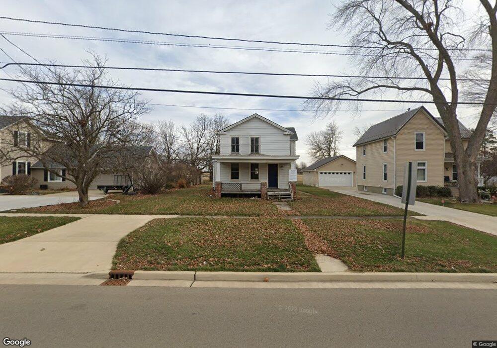
717 N Euclid Ave Princeton, IL 61356
Estimated Value: $141,000
4
Beds
1
Bath
--
Sq Ft
7,405
Sq Ft Lot
About This Home
This home is located at 717 N Euclid Ave, Princeton, IL 61356 and is currently priced at $141,000. 717 N Euclid Ave is a home located in Bureau County with nearby schools including Lincoln Elementary School, Jefferson Elementary School, and Logan Junior High School.
Ownership History
Date
Name
Owned For
Owner Type
Purchase Details
Closed on
Jun 3, 2024
Sold by
City Of Princeton
Bought by
Yepsen David A
Current Estimated Value
Purchase Details
Closed on
Feb 27, 2023
Sold by
Andreoni James A
Bought by
City Of Princeton
Purchase Details
Closed on
Oct 10, 2018
Sold by
Chicago Title Land Trust Co
Bought by
Ress Efithalia J
Purchase Details
Closed on
Sep 24, 2016
Sold by
Patrianakos Dimitrios and Patrianakos Neratzia
Bought by
Ress John and Ress Efthalia
Purchase Details
Closed on
Apr 11, 2016
Sold by
Sims Lisa M
Bought by
Piper Jeffrey J and Piper Theresa A
Create a Home Valuation Report for This Property
The Home Valuation Report is an in-depth analysis detailing your home's value as well as a comparison with similar homes in the area
Home Values in the Area
Average Home Value in this Area
Purchase History
| Date | Buyer | Sale Price | Title Company |
|---|---|---|---|
| Yepsen David A | -- | None Listed On Document | |
| City Of Princeton | -- | Chicago Title | |
| Ress Efithalia J | -- | None Available | |
| Ress John | -- | None Available | |
| Piper Jeffrey J | -- | Attorney |
Source: Public Records
Tax History Compared to Growth
Tax History
| Year | Tax Paid | Tax Assessment Tax Assessment Total Assessment is a certain percentage of the fair market value that is determined by local assessors to be the total taxable value of land and additions on the property. | Land | Improvement |
|---|---|---|---|---|
| 2023 | $440 | $818 | $642 | $176 |
| 2022 | $440 | $5,110 | $4,013 | $1,097 |
| 2021 | $431 | $4,837 | $3,799 | $1,038 |
| 2020 | $2,244 | $25,071 | $3,660 | $21,411 |
| 2019 | $2,253 | $24,771 | $3,616 | $21,155 |
| 2018 | $2,211 | $24,347 | $3,554 | $20,793 |
| 2017 | $2,249 | $24,435 | $3,567 | $20,868 |
| 2016 | $2,194 | $23,797 | $3,474 | $20,323 |
| 2015 | -- | $19,968 | $0 | $19,968 |
| 2014 | -- | $23,382 | $3,414 | $19,968 |
| 2013 | -- | $23,509 | $3,433 | $20,076 |
Source: Public Records
Map
Nearby Homes
- 405 N Church St
- 506 N Pleasant St
- 120 W Marquette St
- 725 Independence Dr
- 311 W Franklin St
- 225 N Randolph St
- 15 S Vernon St
- 215 N Randolph St
- 443 E Peru St
- 310 S Pleasant St
- 525 E Marion St
- 815 W Hudson St
- 8 & 9 Century Dr
- 8&9 W Century Dr
- 103 S Plum St
- 432 S 1st St
- Lot 6 Ace Rd
- 1007 W Farnham St
- 625 S 5th Avenue Dr
- 804 S Euclid Ave
- 715 N Euclid Ave
- 725 N Euclid Ave
- 705 N Euclid Ave
- 731 N Euclid Ave
- 801 N Euclid Ave
- 716 N Euclid Ave
- 726 N Euclid Ave
- 805 N Euclid Ave
- 706 N Euclid Ave
- 22206 Il Highway 26
- 22206 Il Highway 26
- 22206 Il Highway 26
- 627 N Euclid Ave
- 809 N Euclid Ave
- 628 N Euclid Ave
- 619 N Euclid Ave
- 817 N Euclid Ave
- 721 N Chestnut St
- 713 N Chestnut St
- 617 N Euclid Ave