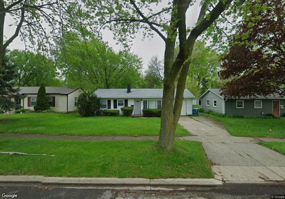
717 Robert St Aurora, IL 60506
North River NeighborhoodEstimated Value: $233,237 - $250,000
3
Beds
1
Bath
875
Sq Ft
$276/Sq Ft
Est. Value
About This Home
This home is located at 717 Robert St, Aurora, IL 60506 and is currently estimated at $241,309, approximately $275 per square foot. 717 Robert St is a home located in Kane County with nearby schools including Smith Elementary School, Jewel Middle School, and West Aurora High School.
Ownership History
Date
Name
Owned For
Owner Type
Purchase Details
Closed on
Jul 25, 2005
Sold by
Tucek Brian S
Bought by
Eissner Steven
Current Estimated Value
Home Financials for this Owner
Home Financials are based on the most recent Mortgage that was taken out on this home.
Original Mortgage
$117,600
Outstanding Balance
$66,604
Interest Rate
7%
Mortgage Type
Purchase Money Mortgage
Estimated Equity
$174,705
Purchase Details
Closed on
Jul 26, 2002
Sold by
Vonloewe Patricia A Abdo
Bought by
Tucek Brian S
Home Financials for this Owner
Home Financials are based on the most recent Mortgage that was taken out on this home.
Original Mortgage
$99,200
Interest Rate
6.62%
Create a Home Valuation Report for This Property
The Home Valuation Report is an in-depth analysis detailing your home's value as well as a comparison with similar homes in the area
Home Values in the Area
Average Home Value in this Area
Purchase History
| Date | Buyer | Sale Price | Title Company |
|---|---|---|---|
| Eissner Steven | $147,000 | Atg | |
| Tucek Brian S | $124,000 | 1St American Title |
Source: Public Records
Mortgage History
| Date | Status | Borrower | Loan Amount |
|---|---|---|---|
| Open | Eissner Steven | $117,600 | |
| Previous Owner | Tucek Brian S | $99,200 |
Source: Public Records
Tax History Compared to Growth
Tax History
| Year | Tax Paid | Tax Assessment Tax Assessment Total Assessment is a certain percentage of the fair market value that is determined by local assessors to be the total taxable value of land and additions on the property. | Land | Improvement |
|---|---|---|---|---|
| 2024 | $4,887 | $61,718 | $9,711 | $52,007 |
| 2023 | $4,723 | $55,145 | $8,677 | $46,468 |
| 2022 | $4,454 | $50,315 | $7,917 | $42,398 |
| 2021 | $4,071 | $44,561 | $7,371 | $37,190 |
| 2020 | $3,875 | $41,391 | $6,847 | $34,544 |
| 2019 | $3,750 | $38,350 | $6,344 | $32,006 |
| 2018 | $3,437 | $34,428 | $5,868 | $28,560 |
| 2017 | $3,544 | $34,432 | $5,407 | $29,025 |
| 2016 | $3,182 | $29,951 | $4,635 | $25,316 |
| 2015 | -- | $25,982 | $3,986 | $21,996 |
| 2014 | -- | $23,191 | $3,663 | $19,528 |
| 2013 | -- | $23,662 | $3,611 | $20,051 |
Source: Public Records
Map
Nearby Homes
- 781 N Elmwood Dr
- 910 Southbridge Dr
- 833 Sheldon Ave
- 500 California Ave
- 740 N Elmwood Dr
- 616 Morton Ave
- 1104 New Haven Ave
- 388 Manor Place
- 1229 Yellowpine Dr
- 603 N May St
- 418 W Illinois Ave
- 526 N View St
- 1039 S Pleasure Ct
- 1351 Monomoy St Unit D
- 519 N View St
- 809 W Park Ave
- 1389 Monomoy St Unit B2
- 833 N Randall Rd Unit C4
- 811 N Randall Rd Unit B
- 1358 Monomoy St Unit A
- 713 Robert St
- 723 Robert St
- 727 Robert St
- 716 Richard St
- 904 N Lancaster Ave
- 908 N Lancaster Ave
- 712 Richard St
- 722 Richard St
- 731 Robert St
- 914 N Lancaster Ave
- 726 Richard St
- 704 Robert St
- 718 Robert St
- 724 Robert St
- 801 Robert St
- 704 Richard St
- 730 Robert St
- 800 Richard St
- 805 Robert St
- 800 Robert St