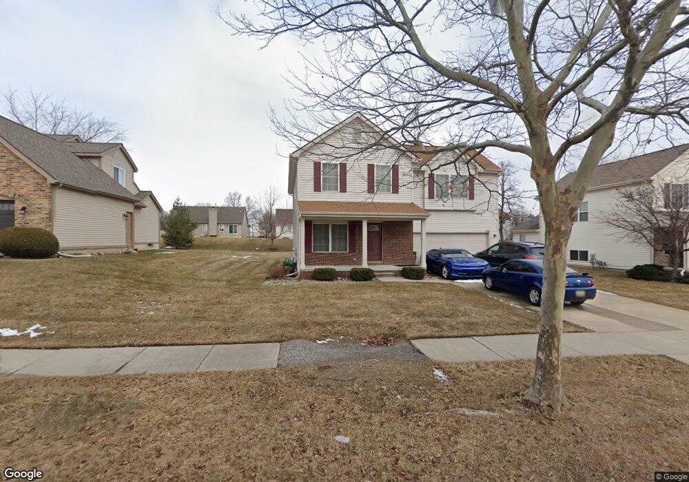
717 Spellman Dr Flint, MI 48503
Downtown Flint NeighborhoodEstimated Value: $211,000 - $236,000
4
Beds
4
Baths
2,206
Sq Ft
$100/Sq Ft
Est. Value
About This Home
This home is located at 717 Spellman Dr, Flint, MI 48503 and is currently estimated at $219,735, approximately $99 per square foot. 717 Spellman Dr is a home located in Genesee County with nearby schools including Doyle/Ryder School, Flint Cultural Center Academy, and WAY Academy of Flint.
Ownership History
Date
Name
Owned For
Owner Type
Purchase Details
Closed on
Aug 26, 2019
Sold by
Hamilton Duncan E and Hamilton Janet V
Bought by
Hamilton Duncan E and Hamilton Leonte Ravelle
Current Estimated Value
Purchase Details
Closed on
Mar 28, 2001
Sold by
Chater Oak Homes Inc
Bought by
Hamilton Duncan E and Hamilton Janet V
Home Financials for this Owner
Home Financials are based on the most recent Mortgage that was taken out on this home.
Original Mortgage
$142,600
Outstanding Balance
$52,041
Interest Rate
7.05%
Estimated Equity
$167,694
Purchase Details
Closed on
Sep 29, 2000
Sold by
Community Capital & Development Corp
Bought by
Charter Oaks Homes Inc
Create a Home Valuation Report for This Property
The Home Valuation Report is an in-depth analysis detailing your home's value as well as a comparison with similar homes in the area
Home Values in the Area
Average Home Value in this Area
Purchase History
| Date | Buyer | Sale Price | Title Company |
|---|---|---|---|
| Hamilton Duncan E | -- | None Available | |
| Hamilton Duncan E | $178,266 | Lawyers Title | |
| Charter Oaks Homes Inc | -- | -- |
Source: Public Records
Mortgage History
| Date | Status | Borrower | Loan Amount |
|---|---|---|---|
| Open | Hamilton Duncan E | $142,600 |
Source: Public Records
Tax History
| Year | Tax Paid | Tax Assessment Tax Assessment Total Assessment is a certain percentage of the fair market value that is determined by local assessors to be the total taxable value of land and additions on the property. | Land | Improvement |
|---|---|---|---|---|
| 2025 | $2,799 | $97,400 | $0 | $0 |
| 2024 | $2,473 | $87,900 | $0 | $0 |
| 2023 | $2,392 | $82,900 | $0 | $0 |
| 2022 | $0 | $72,600 | $0 | $0 |
| 2021 | $2,529 | $69,700 | $0 | $0 |
| 2020 | $2,217 | $53,200 | $0 | $0 |
| 2019 | $2,197 | $40,400 | $0 | $0 |
| 2018 | $2,314 | $41,100 | $0 | $0 |
| 2017 | $2,234 | $0 | $0 | $0 |
| 2016 | $2,284 | $0 | $0 | $0 |
| 2015 | -- | $0 | $0 | $0 |
| 2014 | -- | $0 | $0 | $0 |
| 2012 | -- | $43,900 | $0 | $0 |
Source: Public Records
Map
Nearby Homes
- 1710 Wilberforce Cir
- 1706 Wilberforce Cir
- 1214 Root St
- 1303 Root St
- 1016 Garland St
- 1273 Broadway Blvd
- 800 Martin Luther King Ave
- 1606 Garland St
- 2217 Francis Ave
- 630 E Dartmouth St
- 1379 Washington Ave
- 218 E Jackson Ave
- 416 W 2nd Ave Unit 4
- 407 W 2nd Ave
- 1529 Broadway Blvd
- 1540 Illinois Ave
- 621 Pierson St
- 1645 Seminole St
- 1454 Delaware Ave
- 1609 Ohio Ave
- 721 Spellman Dr
- 725 Spellman Dr
- 709 Spellman Dr
- 716 Wilberforce Dr
- 713 Spellman Dr
- 720 Wilberforce Dr
- 712 Wilberforce Dr
- 730 Spellman Dr
- 724 Wilberforce Dr
- 726 Spellman Dr
- 729 Spellman Dr
- 705 Spellman Dr
- 722 Spellman Dr
- 734 Spellman Dr
- 738 Spellman Dr
- 728 Wilberforce Dr
- 718 Spellman Dr
- 704 Wilberforce Dr
- 742 Spellman Dr
- 714 Spellman Dr
Your Personal Tour Guide
Ask me questions while you tour the home.