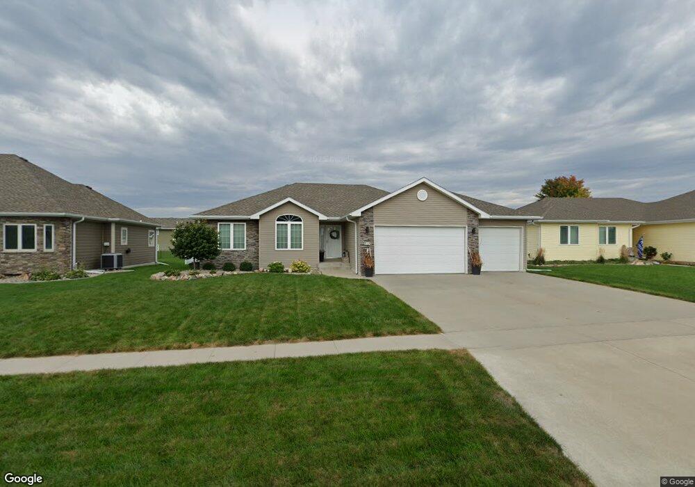
717 Stable Path Sergeant Bluff, IA 51054
Estimated Value: $303,000 - $441,000
3
Beds
2
Baths
1,500
Sq Ft
$263/Sq Ft
Est. Value
About This Home
This home is located at 717 Stable Path, Sergeant Bluff, IA 51054 and is currently estimated at $395,037, approximately $263 per square foot. 717 Stable Path is a home located in Woodbury County with nearby schools including Sergeant Bluff-Luton Primary School, Sergeant Bluff-Luton Elementary School, and Sergeant Bluff-Luton Middle School.
Ownership History
Date
Name
Owned For
Owner Type
Purchase Details
Closed on
Jun 1, 2022
Sold by
Albrecht Joseph D and Albrecht Katharina P
Bought by
Joint Revocable Trust
Current Estimated Value
Purchase Details
Closed on
Jun 1, 2012
Sold by
Trov Griese Construction Inc
Bought by
Albrecht Joseph D and Albrecht Katharina P
Home Financials for this Owner
Home Financials are based on the most recent Mortgage that was taken out on this home.
Original Mortgage
$185,560
Interest Rate
3.92%
Mortgage Type
New Conventional
Purchase Details
Closed on
Jul 31, 2011
Sold by
Settlers Point L L C
Bought by
Troy Griese Construction Inc
Create a Home Valuation Report for This Property
The Home Valuation Report is an in-depth analysis detailing your home's value as well as a comparison with similar homes in the area
Home Values in the Area
Average Home Value in this Area
Purchase History
| Date | Buyer | Sale Price | Title Company |
|---|---|---|---|
| Joint Revocable Trust | -- | None Listed On Document | |
| Albrecht Joseph D | $232,000 | None Available | |
| Troy Griese Construction Inc | $33,000 | None Available |
Source: Public Records
Mortgage History
| Date | Status | Borrower | Loan Amount |
|---|---|---|---|
| Previous Owner | Albrecht Joseph D | $185,560 |
Source: Public Records
Tax History
| Year | Tax Paid | Tax Assessment Tax Assessment Total Assessment is a certain percentage of the fair market value that is determined by local assessors to be the total taxable value of land and additions on the property. | Land | Improvement |
|---|---|---|---|---|
| 2025 | $5,144 | $367,610 | $43,460 | $324,150 |
| 2024 | $50 | $343,690 | $35,260 | $308,430 |
| 2023 | $4,980 | $343,690 | $35,260 | $308,430 |
| 2022 | $4,138 | $292,250 | $35,260 | $256,990 |
| 2021 | $4,138 | $246,520 | $35,260 | $211,260 |
| 2020 | $3,228 | $190,620 | $37,730 | $152,890 |
| 2019 | $2,816 | $190,620 | $37,730 | $152,890 |
| 2018 | $2,746 | $164,920 | $37,730 | $127,190 |
| 2017 | $2,672 | $164,920 | $37,730 | $127,190 |
| 2016 | $2,408 | $148,790 | $0 | $0 |
| 2015 | $1,671 | $117,660 | $35,260 | $82,400 |
| 2014 | $1,272 | $83,620 | $35,260 | $48,360 |
Source: Public Records
Map
Nearby Homes
- 719 Stable Path
- 715 Stable Path
- 715 Stable Path
- 713 Stable Path
- 716 Coffie Farm Rd
- 714 Coffie Farm Rd
- 721 Stable Path
- 714 Stable Path
- 714 Stable Path Unit Path
- 716 Stable Path
- 718 Coffie Farm Rd
- 712 Coffie Farm Rd
- 720 Coffie Farm Rd
- 711 Stable Path
- 723 Stable Path
- 718 Stable Path
- 710 Stable Path
- 722 Coffie Farm Rd
- 710 Coffie Farm Rd
- 720 Stable Path
Your Personal Tour Guide
Ask me questions while you tour the home.