717 W 90th St Newaygo, MI 49337
Estimated Value: $490,000 - $962,495
--
Bed
--
Bath
--
Sq Ft
47
Acres
About This Home
This home is located at 717 W 90th St, Newaygo, MI 49337 and is currently estimated at $726,248. 717 W 90th St is a home with nearby schools including Vera Wilsie Elementary School, Newaygo Elementary School, and Newaygo Middle School.
Ownership History
Date
Name
Owned For
Owner Type
Purchase Details
Closed on
Sep 24, 2008
Sold by
Stray Moose Properties Llc
Bought by
Scripps David J
Current Estimated Value
Purchase Details
Closed on
Apr 24, 2007
Sold by
Fv Linderer Llc
Bought by
Stray Moose Properties Llc
Purchase Details
Closed on
Apr 9, 2007
Sold by
King Joy L
Bought by
Fv Linderer Llc
Purchase Details
Closed on
Mar 26, 2007
Sold by
King Kathleen A
Bought by
Fv Linderer Llc
Purchase Details
Closed on
Nov 30, 2000
Sold by
Linderer Viola M Living Trust
Bought by
Fv Linderer Llc
Purchase Details
Closed on
Jun 26, 2000
Sold by
King Tedd L
Bought by
Linderer Viola Trust
Create a Home Valuation Report for This Property
The Home Valuation Report is an in-depth analysis detailing your home's value as well as a comparison with similar homes in the area
Home Values in the Area
Average Home Value in this Area
Purchase History
| Date | Buyer | Sale Price | Title Company |
|---|---|---|---|
| Scripps David J | -- | -- | |
| Stray Moose Properties Llc | $400,000 | -- | |
| Fv Linderer Llc | $3,000 | -- | |
| Fv Linderer Llc | -- | -- | |
| Fv Linderer Llc | -- | -- | |
| Fv Linderer Llc | -- | -- | |
| Linderer Viola Trust | $500 | -- |
Source: Public Records
Tax History Compared to Growth
Tax History
| Year | Tax Paid | Tax Assessment Tax Assessment Total Assessment is a certain percentage of the fair market value that is determined by local assessors to be the total taxable value of land and additions on the property. | Land | Improvement |
|---|---|---|---|---|
| 2025 | $8,071 | $441,800 | $0 | $0 |
| 2024 | $43 | $427,400 | $0 | $0 |
| 2023 | $7,416 | $389,500 | $0 | $0 |
| 2022 | $7,416 | $319,300 | $0 | $0 |
| 2021 | $7,216 | $303,900 | $0 | $0 |
| 2020 | $7,282 | $280,100 | $0 | $0 |
| 2019 | $7,278 | $258,200 | $0 | $0 |
| 2018 | $7,336 | $235,300 | $0 | $0 |
| 2017 | -- | $237,400 | $0 | $0 |
| 2016 | -- | $237,100 | $0 | $0 |
| 2015 | -- | $209,100 | $0 | $0 |
| 2014 | -- | $100,700 | $0 | $0 |
Source: Public Records
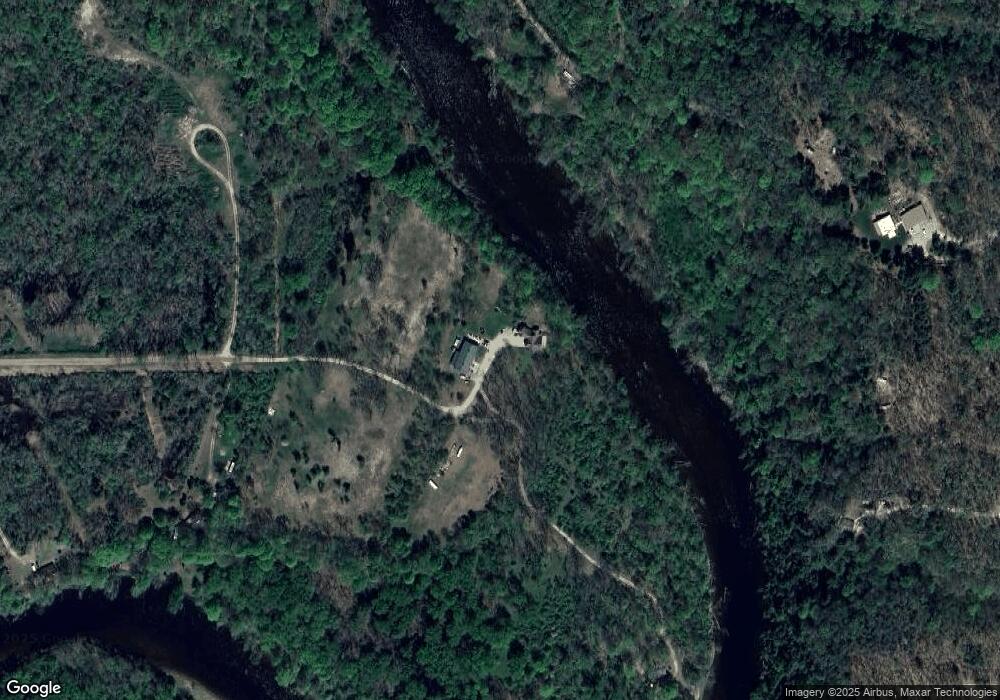
Map
Nearby Homes
- 998 Thompson Rd
- 8594 S Felch Ave
- 511 S Mundy Ave
- VL Carol St
- 22 Carol St
- 9263 S Ferris Ave
- 9425 S Benjamin Dr
- 120 State St
- 681 E Hess Lake Dr
- 9500 S Annie Ln
- 163 W State Rd
- 285 Scott St
- 37 E Jefferson St
- 505 E Lilipad Ln
- 30 Quarterline St
- 1130 E 88th St
- 568 River Hills Dr
- 365 Quarterline St
- 448 S Division St
- 545 E Streambank St
- 830 W 90th St
- 866 W 90th St
- 8915 S Mundy Ave
- 984 W 90th St
- 9061 S Mundy Ave
- 996 W 90th St
- 9161 S Mundy Ave Unit Parcel B
- 9161 S Mundy Ave Unit Parcel A
- 9161 S Mundy Ave
- 911 W Cronk Dr
- 8103 River Ln
- 9101 S Mundy Ave
- 933 W Cronk Dr
- 601 W 96th St
- 905 W Cronk Dr
- 9065 S Mundy Ave
- 9283 S Mundy Ave
- 9096 River Ln
- 977 W Cronk Dr
- 9076 S Mundy Ave