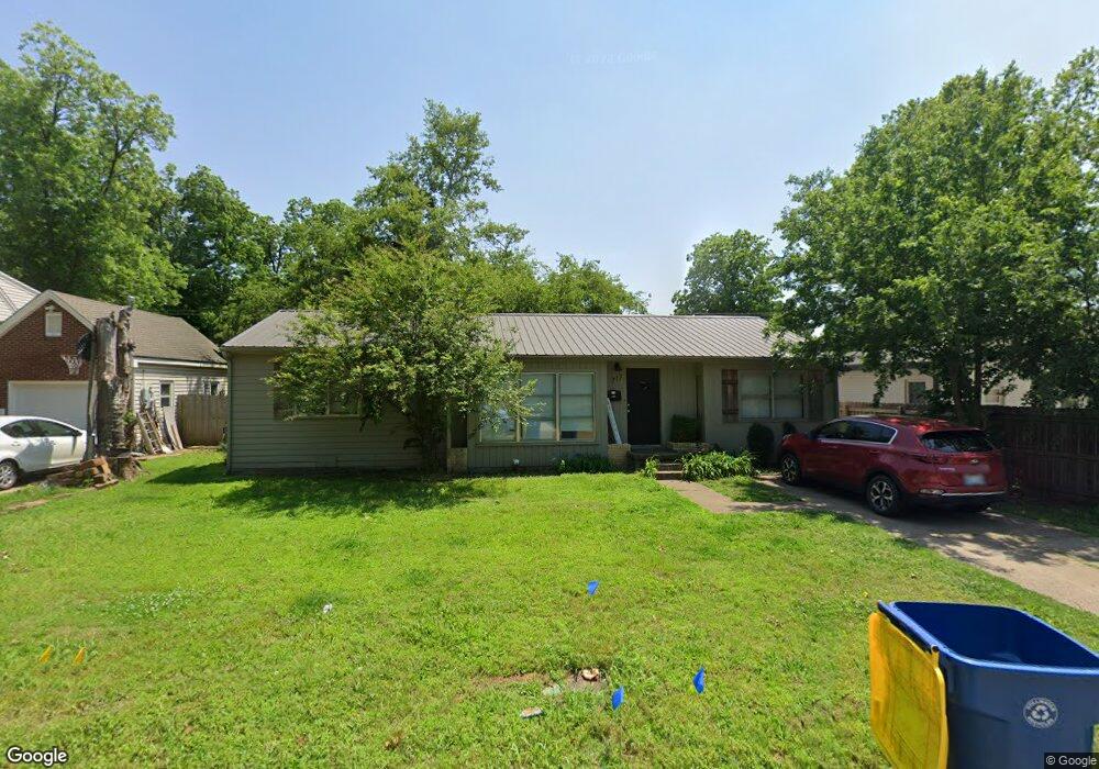
717 W Bennett Dr Stillwater, OK 74075
Estimated Value: $205,000 - $252,000
4
Beds
2
Baths
1,558
Sq Ft
$148/Sq Ft
Est. Value
About This Home
This home is located at 717 W Bennett Dr, Stillwater, OK 74075 and is currently estimated at $230,742, approximately $148 per square foot. 717 W Bennett Dr is a home located in Payne County with nearby schools including Will Rogers Elementary School, Stillwater Junior High School, and Stillwater Middle School.
Ownership History
Date
Name
Owned For
Owner Type
Purchase Details
Closed on
Nov 27, 2013
Sold by
Jacobson Bert Hans
Bought by
Jacobson Leann
Current Estimated Value
Purchase Details
Closed on
Mar 8, 2005
Sold by
Nur Ramin and Nur Brenda
Bought by
Jacobson Leann and Jacobson Bert H
Home Financials for this Owner
Home Financials are based on the most recent Mortgage that was taken out on this home.
Original Mortgage
$65,200
Interest Rate
5.71%
Mortgage Type
New Conventional
Create a Home Valuation Report for This Property
The Home Valuation Report is an in-depth analysis detailing your home's value as well as a comparison with similar homes in the area
Home Values in the Area
Average Home Value in this Area
Purchase History
| Date | Buyer | Sale Price | Title Company |
|---|---|---|---|
| Jacobson Leann | -- | None Available | |
| Jacobson Leann | $108,666 | None Available |
Source: Public Records
Mortgage History
| Date | Status | Borrower | Loan Amount |
|---|---|---|---|
| Previous Owner | Jacobson Leann | $65,200 |
Source: Public Records
Tax History Compared to Growth
Tax History
| Year | Tax Paid | Tax Assessment Tax Assessment Total Assessment is a certain percentage of the fair market value that is determined by local assessors to be the total taxable value of land and additions on the property. | Land | Improvement |
|---|---|---|---|---|
| 2024 | $1,488 | $14,630 | $1,526 | $13,104 |
| 2023 | $1,488 | $13,933 | $2,648 | $11,285 |
| 2022 | $1,343 | $13,270 | $2,766 | $10,504 |
| 2021 | $1,254 | $12,638 | $2,850 | $9,788 |
| 2020 | $1,214 | $12,242 | $2,618 | $9,624 |
| 2019 | $1,181 | $11,660 | $2,494 | $9,166 |
| 2018 | $1,123 | $11,105 | $2,375 | $8,730 |
| 2017 | $1,068 | $10,576 | $2,850 | $7,726 |
| 2016 | $1,091 | $10,576 | $2,850 | $7,726 |
| 2015 | $1,106 | $10,576 | $2,850 | $7,726 |
| 2014 | $1,116 | $10,576 | $2,850 | $7,726 |
Source: Public Records
Map
Nearby Homes
- 1310 N Washington St
- 1024 W Graham Ave
- 701 W Highpoint Dr
- 701 W Dr
- 701 W Dr
- 701 W Highpoint #B Dr
- 701 W Dr
- 701 W Highpoint #F Dr
- 701 W Dr
- 42 W Brentwood Dr
- 3798 N Knoblock St
- 11 W Glencoe Rd
- 1921 N Husband St
- 1605 N Glenwood Dr
- 1512 N Wildwood Ct
- 5 Pecan Dr
- 1400 N Rd
- 116 W Mathews Ave
- 2420 N Glenwood Dr
- 251 W Miller Ave Unit 308
- 1319 N Ramsey St
- 715 W Bennett Dr
- 720 W Bennett Dr
- 716 W Bennett Dr
- 1403 N Ramsey St
- 1411 N Ramsey St
- 1324 N Ramsey St
- 1316 N Ramsey St
- 1402 N Ramsey St
- 1415 N Ramsey St
- 1410 N Ramsey St
- 1418 N Ramsey St
- 813 W Bennett Dr
- 1419 N Ramsey St
- 807 W Knapp Ave
- 812 W Bennett Dr
- 1520 N Boomer Rd
- 1520 N Boomer Rd
- 823 W Bennett Dr
- 1423 N Ramsey St