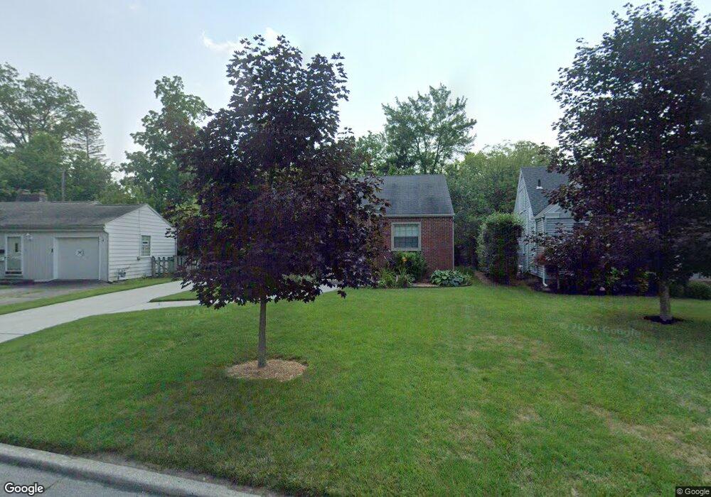
717 W Carisbrook Dr Maumee, OH 43537
Estimated Value: $150,000 - $242,000
2
Beds
1
Bath
976
Sq Ft
$195/Sq Ft
Est. Value
About This Home
This home is located at 717 W Carisbrook Dr, Maumee, OH 43537 and is currently estimated at $190,436, approximately $195 per square foot. 717 W Carisbrook Dr is a home located in Lucas County with nearby schools including Fort Miami Elementary School, Maumee Intermediate School, and Maumee Middle School.
Ownership History
Date
Name
Owned For
Owner Type
Purchase Details
Closed on
Jun 16, 2014
Sold by
Gebolys Gregory and Gebolys Christine
Bought by
Gebolys Gregory and Gebolys Christine
Current Estimated Value
Purchase Details
Closed on
Feb 13, 2003
Sold by
The Huntington National Bank
Bought by
Dansker Helen
Home Financials for this Owner
Home Financials are based on the most recent Mortgage that was taken out on this home.
Original Mortgage
$112,500
Interest Rate
6.07%
Purchase Details
Closed on
Nov 21, 2002
Sold by
Staskiewicz Richard R
Bought by
The Huntington National Bank and Richard R Staskiewicz Trust
Create a Home Valuation Report for This Property
The Home Valuation Report is an in-depth analysis detailing your home's value as well as a comparison with similar homes in the area
Home Values in the Area
Average Home Value in this Area
Purchase History
| Date | Buyer | Sale Price | Title Company |
|---|---|---|---|
| Gebolys Gregory | -- | None Available | |
| Dansker Helen | $116,000 | Northwest Title Agency Of Oh | |
| The Huntington National Bank | -- | -- |
Source: Public Records
Mortgage History
| Date | Status | Borrower | Loan Amount |
|---|---|---|---|
| Previous Owner | Dansker Helen | $112,500 |
Source: Public Records
Tax History Compared to Growth
Tax History
| Year | Tax Paid | Tax Assessment Tax Assessment Total Assessment is a certain percentage of the fair market value that is determined by local assessors to be the total taxable value of land and additions on the property. | Land | Improvement |
|---|---|---|---|---|
| 2024 | $1,777 | $53,130 | $8,890 | $44,240 |
| 2023 | $3,405 | $43,470 | $7,840 | $35,630 |
| 2022 | $3,030 | $43,470 | $7,840 | $35,630 |
| 2021 | $3,196 | $43,470 | $7,840 | $35,630 |
| 2020 | $3,256 | $39,690 | $7,105 | $32,585 |
| 2019 | $3,177 | $39,690 | $7,105 | $32,585 |
| 2018 | $3,087 | $39,690 | $7,105 | $32,585 |
| 2017 | $3,134 | $38,780 | $6,930 | $31,850 |
| 2016 | $3,101 | $110,800 | $19,800 | $91,000 |
| 2015 | $3,008 | $110,800 | $19,800 | $91,000 |
| 2014 | $2,144 | $38,010 | $6,790 | $31,220 |
| 2013 | $2,144 | $38,010 | $6,790 | $31,220 |
Source: Public Records
Map
Nearby Homes
- 724 Inwood Place
- 2711 Riverview Dr
- 327 River Bend Ln
- 329 River Bend Ln
- 764 Inwood Place
- 812 Loch Haven Blvd
- 115 Riverside Dr
- 878 Loch Haven Blvd
- 113 Riverside Dr
- 1026 Kirk St
- 930 Scott St
- 1040 Richland St
- 904 Askin St
- 4669 S Detroit Ave
- 3264 Escott Ave
- 1108 Richland St
- 2006 River Rd
- 3214 Escott Ave
- 920 Michigan Ave
- 3157 Dorian Dr
- 721 W Carisbrook Dr
- 711 W Carisbrook Dr
- 2505 River Rd
- 725 W Carisbrook Dr
- 709 W Carisbrook Dr
- 729 W Carisbrook Dr
- 726 E Carisbrook Dr
- 710 W Carisbrook Dr
- 733 W Carisbrook Dr
- 707 W Carisbrook Dr
- 2500 River Rd Unit 70
- 2500 River Rd Unit 69
- 2500 River Rd Unit 67
- 2500 River Rd Unit 68
- 2500 River Rd Unit 51
- 2500 River Rd Unit 65
- 2500 River Rd Unit 57
- 2500 River Rd Unit 52
- 2500 River Rd Unit 34
- 2500 River Rd