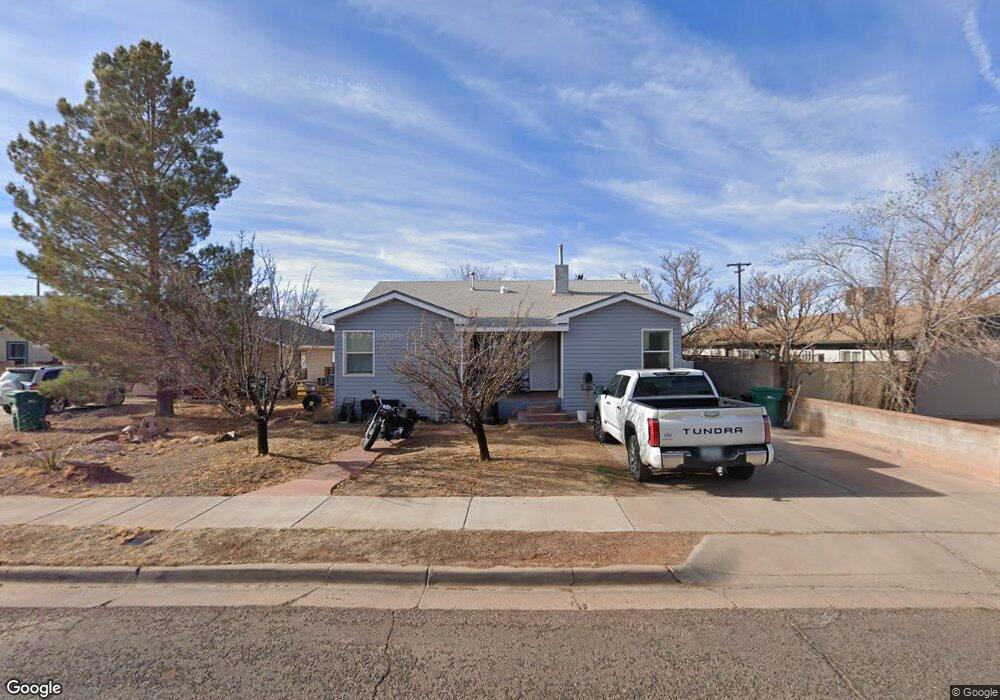
717 W Maple St Winslow, AZ 86047
Estimated Value: $164,034 - $247,000
Studio
--
Bath
1,457
Sq Ft
$142/Sq Ft
Est. Value
About This Home
This home is located at 717 W Maple St, Winslow, AZ 86047 and is currently estimated at $207,509, approximately $142 per square foot. 717 W Maple St is a home located in Navajo County with nearby schools including Winslow High School and Red Sands Christian School.
Ownership History
Date
Name
Owned For
Owner Type
Purchase Details
Closed on
Nov 27, 2017
Sold by
Morgan Dennis F
Bought by
Freeman Theron A and Freeman Jessica K
Current Estimated Value
Purchase Details
Closed on
Oct 3, 2005
Sold by
Neatherland Robert E
Bought by
Morgan Dennis F
Home Financials for this Owner
Home Financials are based on the most recent Mortgage that was taken out on this home.
Original Mortgage
$60,000
Interest Rate
5.74%
Mortgage Type
New Conventional
Create a Home Valuation Report for This Property
The Home Valuation Report is an in-depth analysis detailing your home's value as well as a comparison with similar homes in the area
Purchase History
| Date | Buyer | Sale Price | Title Company |
|---|---|---|---|
| Freeman Theron A | $128,000 | None Available | |
| Morgan Dennis F | $60,000 | First American Title |
Source: Public Records
Mortgage History
| Date | Status | Borrower | Loan Amount |
|---|---|---|---|
| Previous Owner | Morgan Dennis F | $60,000 |
Source: Public Records
Tax History
| Year | Tax Paid | Tax Assessment Tax Assessment Total Assessment is a certain percentage of the fair market value that is determined by local assessors to be the total taxable value of land and additions on the property. | Land | Improvement |
|---|---|---|---|---|
| 2026 | $535 | -- | -- | -- |
| 2025 | $510 | $13,376 | $1,000 | $12,376 |
| 2024 | $503 | $11,629 | $845 | $10,784 |
| 2023 | $510 | $9,157 | $845 | $8,312 |
| 2022 | $486 | $0 | $0 | $0 |
| 2021 | $489 | $0 | $0 | $0 |
| 2020 | $475 | $0 | $0 | $0 |
| 2019 | $457 | $0 | $0 | $0 |
| 2018 | $436 | $0 | $0 | $0 |
| 2017 | $438 | $0 | $0 | $0 |
| 2016 | $456 | $0 | $0 | $0 |
| 2015 | $444 | $4,176 | $700 | $3,477 |
Source: Public Records
Map
Nearby Homes
- 901 N Prairie Ave
- 801 W Mahoney St
- 601 N Berry Ave
- 909 N Park Dr
- 219 W Elm St
- 806 W Henderson St
- 420 W 2nd St
- 1100 W 2nd St Unit 23
- 1100 W 2nd St
- 722 N Warren Ave
- 311 N Warren Ave
- 113 W Fourth St
- 401 N Kinsley Ave
- 100 E Aspinwall St
- 212 W First St
- 108 E 2nd St
- 108 W 1st St
- 222 E Aspinwall St
- 415 S Edwin Ave
- 1421 Central St
- 618 N Douglas Ave
- 713 W Maple St
- 705 W Maple St
- 613 N Douglas Ave
- 615 N Douglas Ave
- 708 W Maple St
- 720 W Maple St
- 716 W Oak St
- 609 N Douglas Ave
- 712 W Oak St
- 706 W Maple St
- 720 W Oak St
- 701 W Maple St
- 708 W Oak St
- 704 W Maple St
- 605 N Douglas Ave
- 702 W Oak St
- 700 W Maple St
- 700 W Oak St
- 601 N Douglas Ave
Your Personal Tour Guide
Ask me questions while you tour the home.