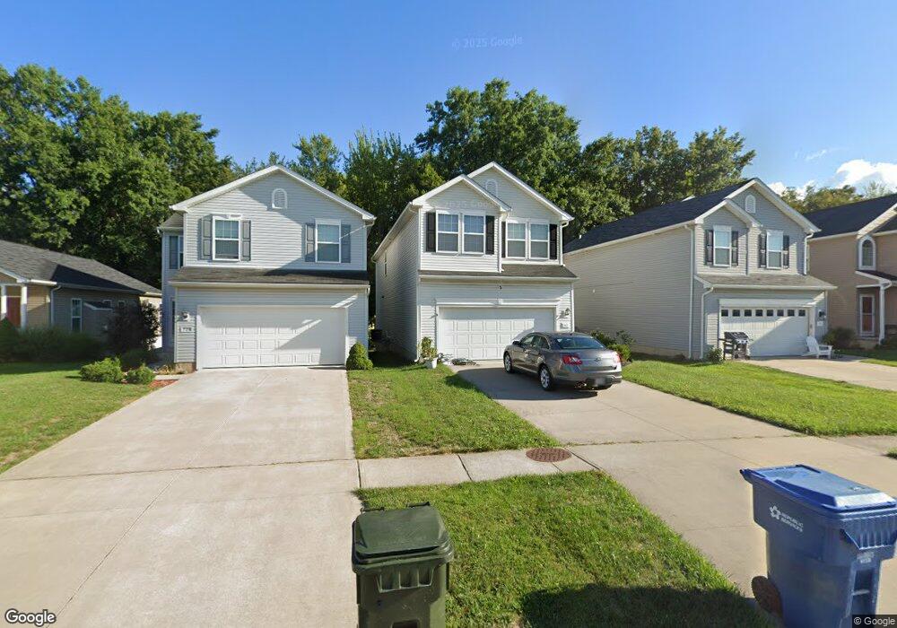
717 Westpointe Dr Amherst, OH 44001
Estimated Value: $327,882 - $350,000
4
Beds
3
Baths
2,304
Sq Ft
$149/Sq Ft
Est. Value
About This Home
This home is located at 717 Westpointe Dr, Amherst, OH 44001 and is currently estimated at $343,221, approximately $148 per square foot. 717 Westpointe Dr is a home with nearby schools including Powers Elementary School, Walter G. Nord Middle School, and Amherst Junior High School.
Ownership History
Date
Name
Owned For
Owner Type
Purchase Details
Closed on
Mar 27, 2013
Sold by
K Hovnanian Oster Homes Llc
Bought by
Krause Francis A and Krause Elizabeth A
Current Estimated Value
Home Financials for this Owner
Home Financials are based on the most recent Mortgage that was taken out on this home.
Original Mortgage
$167,505
Outstanding Balance
$118,396
Interest Rate
3.5%
Mortgage Type
VA
Estimated Equity
$224,825
Purchase Details
Closed on
Dec 21, 2012
Sold by
Ontario Land Co
Bought by
K Hovnanian Oster Homes Llc
Create a Home Valuation Report for This Property
The Home Valuation Report is an in-depth analysis detailing your home's value as well as a comparison with similar homes in the area
Home Values in the Area
Average Home Value in this Area
Purchase History
| Date | Buyer | Sale Price | Title Company |
|---|---|---|---|
| Krause Francis A | $189,000 | None Available | |
| K Hovnanian Oster Homes Llc | $83,500 | True Title Agency Inc |
Source: Public Records
Mortgage History
| Date | Status | Borrower | Loan Amount |
|---|---|---|---|
| Open | Krause Francis A | $167,505 |
Source: Public Records
Tax History
| Year | Tax Paid | Tax Assessment Tax Assessment Total Assessment is a certain percentage of the fair market value that is determined by local assessors to be the total taxable value of land and additions on the property. | Land | Improvement |
|---|---|---|---|---|
| 2024 | $4,205 | $104,136 | $21,263 | $82,873 |
| 2023 | $3,370 | $70,347 | $13,605 | $56,742 |
| 2022 | $3,231 | $70,347 | $13,605 | $56,742 |
| 2021 | $3,239 | $70,347 | $13,605 | $56,742 |
| 2020 | $3,122 | $60,180 | $11,640 | $48,540 |
| 2019 | $3,059 | $60,180 | $11,640 | $48,540 |
| 2018 | $3,075 | $60,180 | $11,640 | $48,540 |
| 2017 | $3,336 | $61,270 | $11,740 | $49,530 |
| 2016 | $3,363 | $61,270 | $11,740 | $49,530 |
| 2015 | $3,344 | $61,270 | $11,740 | $49,530 |
| 2014 | $3,506 | $63,950 | $12,250 | $51,700 |
| 2013 | $554 | $9,800 | $9,800 | $0 |
Source: Public Records
Map
Nearby Homes
- 812 Bearing Ct
- 937 Longitude Ln
- 953 Longitude Ln
- 0 Middle Ridge Rd Unit 5180506
- 0 Middle Ridge Rd Unit 5102632
- 653 Brennan Dr
- V/L Middle Ridge Rd
- 7475 S Dewey Rd
- 107 Keswick Ct
- 2159 Myla Way
- 2168 Myla Way
- 472 Sunset Dr
- 495 Church St
- 2170 Myla Way
- 180 S Leavitt Rd
- 2164 Myla Way
- 2176 Myla Way
- 2160 Myla Way
- 2158 Myla Way
- 3290 Sandmill Run
- 715 Westpointe Dr
- 721 Westpointe Dr
- 723 Westpointe Dr
- 801 Bearing Ct
- 711 Westpointe Dr
- 725 Westpointe Dr
- 743 Westpoint Dr
- 803 Bearing Ct
- 707 Westpointe Dr
- 727 Westpointe Dr
- 805 Bearing Ct
- 705 Westpointe Dr
- 731 Westpointe Dr
- S/L 257 Bearing Ct
- S/L 257 S/L Bearing Ct
- 745 Westpointe Dr
- 800 Bearing Ct
- 807 Bearing Ct
- 745 Westpointe Dr
- 733 Westpointe Dr
Your Personal Tour Guide
Ask me questions while you tour the home.