7170 Anderson Ln Marsing, ID 83639
Estimated Value: $697,746 - $1,043,000
3
Beds
2
Baths
2,730
Sq Ft
$304/Sq Ft
Est. Value
About This Home
This home is located at 7170 Anderson Ln, Marsing, ID 83639 and is currently estimated at $828,687, approximately $303 per square foot. 7170 Anderson Ln is a home located in Owyhee County with nearby schools including Marsing Elementary School, Marsing Middle School, and Marsing High School.
Ownership History
Date
Name
Owned For
Owner Type
Purchase Details
Closed on
Sep 15, 2025
Sold by
Anderson Teresa M and Anderson Merritt L
Bought by
Anderson Teresa M and Anderson Merritt L
Current Estimated Value
Home Financials for this Owner
Home Financials are based on the most recent Mortgage that was taken out on this home.
Original Mortgage
$180,000
Outstanding Balance
$178,543
Interest Rate
6.63%
Mortgage Type
New Conventional
Estimated Equity
$650,144
Purchase Details
Closed on
Aug 14, 2017
Sold by
Anderson Brenda Sue
Bought by
Anderson Brenda Sue
Purchase Details
Closed on
Jan 27, 2010
Sold by
Anderson Dennis and Anderson Brenda
Bought by
Andeson Dennis
Create a Home Valuation Report for This Property
The Home Valuation Report is an in-depth analysis detailing your home's value as well as a comparison with similar homes in the area
Purchase History
| Date | Buyer | Sale Price | Title Company |
|---|---|---|---|
| Anderson Teresa M | -- | Title One | |
| Anderson Brenda Sue | -- | None Available | |
| Anderson Brenda Sue | -- | None Available | |
| Andeson Dennis | -- | -- | |
| Anderson Dennis | -- | -- |
Source: Public Records
Mortgage History
| Date | Status | Borrower | Loan Amount |
|---|---|---|---|
| Open | Anderson Teresa M | $180,000 |
Source: Public Records
Tax History
| Year | Tax Paid | Tax Assessment Tax Assessment Total Assessment is a certain percentage of the fair market value that is determined by local assessors to be the total taxable value of land and additions on the property. | Land | Improvement |
|---|---|---|---|---|
| 2025 | -- | $516,287 | $106,417 | $409,870 |
| 2024 | -- | $427,652 | $72,262 | $355,390 |
| 2023 | -- | $425,133 | $69,743 | $355,390 |
| 2022 | $1,950 | $430,513 | $69,743 | $360,770 |
| 2021 | $1,394 | $295,096 | $65,406 | $229,690 |
| 2020 | $1,155 | $236,217 | $40,859 | $195,358 |
| 2019 | $229 | $210,479 | $40,859 | $169,620 |
| 2018 | $1,304 | $215,753 | $34,049 | $181,704 |
| 2017 | $1,193 | $203,225 | $34,049 | $169,176 |
| 2016 | $890 | $157,144 | $31,972 | $125,172 |
| 2014 | $491 | $120,063 | $29,013 | $91,050 |
| 2011 | -- | $100,849 | $14,926 | $85,923 |
Source: Public Records
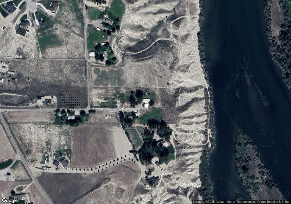
Map
Nearby Homes
- TBD Island View Dr - Lot 1
- TBD Island View Dr - Lot 2
- 547 Bass Run Ln
- TBD Blue Fox Ln
- 8843 Idaho 78
- 0 Sage View Ln Parcel 2
- 0 Sage View Ln Parcel 4
- 8065 Moonshine Ln
- 101 Twilight Trail
- 9446 Wright Rd
- 16758 Deer Flat Rd
- 9506 Wright Rd
- 9494 Sleepy Hollow Dr
- 8142 Us Highway 95
- TBD Oak River Ln
- 1406 Oak River Ln
- 11267 W Rio Rd
- TBD Canal St
- 20056 Sunny Slope Rd
- 912 W Main St
- 7161 Anderson Ln
- 8184 Fox Canyon Dr
- 7126 Anderson Ln
- tbd Island View Dr
- 7998 Island View Dr
- 7998 Island View Dr
- 8148 Fox Canyon Dr
- 0 Tbd Island View Dr Unit 21915426
- 0 Tbd Island View Dr Unit 21915427
- 0 Tbd Island View Dr Unit 11360065
- 0 Tbd Island View Dr Unit 11360118
- tbd 2 Island View Dr
- 8043 Owyhee View Ln
- 8051 Island View Dr
- 7870 Riverfront Dr
- 7864 Hidden Valley Rd
- 6990 Keith Ln
- 8110 Island View Dr
- TBD Sunset Meadow Subdivision
- 7832 River Front Dr
Your Personal Tour Guide
Ask me questions while you tour the home.