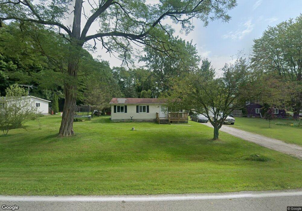
7172 Griswold Rd Kimball, MI 48074
Estimated Value: $157,000 - $240,000
3
Beds
1
Bath
980
Sq Ft
$190/Sq Ft
Est. Value
About This Home
This home is located at 7172 Griswold Rd, Kimball, MI 48074 and is currently estimated at $185,905, approximately $189 per square foot. 7172 Griswold Rd is a home located in St. Clair County with nearby schools including Kimball Elementary School, Central Middle School, and Port Huron High School.
Ownership History
Date
Name
Owned For
Owner Type
Purchase Details
Closed on
Aug 23, 2013
Sold by
Raymo Kelly Lynn
Bought by
Raymo Kenneth Mark
Current Estimated Value
Purchase Details
Closed on
Dec 3, 2007
Sold by
Galbraith Daniel John and Raymo Kelly Lynn
Bought by
Raymo Kelly Lynn
Purchase Details
Closed on
May 4, 2007
Sold by
Livi Nowiski Angela M
Bought by
Galbraith Daniel John and Raymo Kelly Lynn
Purchase Details
Closed on
Nov 15, 2006
Sold by
Hall Cynthia and Hall Willie
Bought by
Revocable Living Trust Willie Lee Hall
Create a Home Valuation Report for This Property
The Home Valuation Report is an in-depth analysis detailing your home's value as well as a comparison with similar homes in the area
Home Values in the Area
Average Home Value in this Area
Purchase History
| Date | Buyer | Sale Price | Title Company |
|---|---|---|---|
| Raymo Kenneth Mark | -- | None Available | |
| Raymo Kelly Lynn | -- | None Available | |
| Galbraith Daniel John | $90,000 | None Available | |
| Revocable Living Trust Willie Lee Hall | -- | None Available |
Source: Public Records
Tax History Compared to Growth
Tax History
| Year | Tax Paid | Tax Assessment Tax Assessment Total Assessment is a certain percentage of the fair market value that is determined by local assessors to be the total taxable value of land and additions on the property. | Land | Improvement |
|---|---|---|---|---|
| 2025 | $1,013 | $63,300 | $0 | $0 |
| 2024 | $555 | $64,100 | $0 | $0 |
| 2023 | $509 | $62,000 | $0 | $0 |
| 2022 | $876 | $58,700 | $0 | $0 |
| 2021 | $790 | $57,000 | $0 | $0 |
| 2020 | $790 | $46,000 | $46,000 | $0 |
| 2019 | $776 | $31,600 | $0 | $0 |
| 2018 | $757 | $46,300 | $0 | $0 |
| 2017 | $742 | $36,900 | $0 | $0 |
| 2016 | $414 | $36,900 | $0 | $0 |
| 2015 | -- | $36,400 | $36,400 | $0 |
| 2014 | -- | $29,100 | $29,100 | $0 |
| 2013 | -- | $38,200 | $0 | $0 |
Source: Public Records
Map
Nearby Homes
- 1900 Burns Rd
- 0 Sparling Rd Unit 2210034403
- 1533 Richman Rd
- 7710 Sparling Rd
- 1688 Sturdevant Rd
- 0 Sparling Unit 20230091288
- VL Lambs Rd
- 6417 Dove Rd
- 1371 Sturdevant Rd
- 1261 Sturdevant Rd
- I-69 vac Taylor Dr
- 6928 Lapeer Rd
- 8067 Lambs Rd
- 0000 Conrad Dr
- 00 Griswold Rd
- 1671 Ditty Rd
- 2906 Castor Rd
- 8237 Lambs Rd
- 3309 Rabidue Rd
- 2019 Edward Ln E
- 7166 Griswold Rd
- 7188 Griswold Rd
- 7150 Griswold Rd
- 7125 Griswold Rd
- 7202 Griswold Rd
- 7118 Griswold Rd
- 7111 Griswold Rd
- 7102 Griswold Rd
- 7208 Griswold Rd
- 7097 Griswold Rd
- 7092 Griswold Rd
- 7091 Griswold Rd
- 7085 Griswold Rd
- 7077 Griswold Rd
- 1981 Burns Rd
- 1981 Burns Rd
- 1901 Burns Rd
- 7268 Griswold Rd
- 1885 Burns Rd
- 1967 Burns Rd