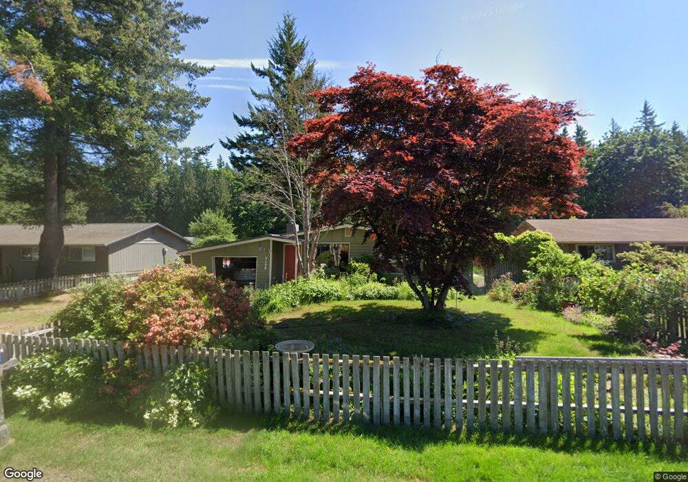
7172 Sutton Dr Everson, WA 98247
Estimated Value: $436,632 - $537,000
3
Beds
1
Bath
1,584
Sq Ft
$300/Sq Ft
Est. Value
About This Home
This home is located at 7172 Sutton Dr, Everson, WA 98247 and is currently estimated at $475,158, approximately $299 per square foot. 7172 Sutton Dr is a home located in Whatcom County with nearby schools including Everson Elementary School, Nooksack Elementary School, and Sumas Elementary School.
Ownership History
Date
Name
Owned For
Owner Type
Purchase Details
Closed on
Oct 23, 2019
Sold by
Robinson Debra A and Robinson Keith A
Bought by
Robinson Debra A
Current Estimated Value
Purchase Details
Closed on
Mar 26, 2007
Sold by
Robinson Debra A and Robinson Keith A
Bought by
Robinson Debra A and Robinson Keith A
Home Financials for this Owner
Home Financials are based on the most recent Mortgage that was taken out on this home.
Original Mortgage
$50,000
Interest Rate
6.11%
Mortgage Type
Stand Alone Second
Create a Home Valuation Report for This Property
The Home Valuation Report is an in-depth analysis detailing your home's value as well as a comparison with similar homes in the area
Purchase History
| Date | Buyer | Sale Price | Title Company |
|---|---|---|---|
| Robinson Debra A | -- | None Available | |
| Robinson Debra A | -- | None Available |
Source: Public Records
Mortgage History
| Date | Status | Borrower | Loan Amount |
|---|---|---|---|
| Closed | Robinson Debra A | $50,000 |
Source: Public Records
Tax History Compared to Growth
Tax History
| Year | Tax Paid | Tax Assessment Tax Assessment Total Assessment is a certain percentage of the fair market value that is determined by local assessors to be the total taxable value of land and additions on the property. | Land | Improvement |
|---|---|---|---|---|
| 2025 | $3,734 | $425,763 | $207,900 | $217,863 |
| 2024 | $3,215 | $401,549 | $189,000 | $212,549 |
| 2023 | $3,215 | $362,188 | $146,353 | $215,835 |
| 2022 | $507 | $326,301 | $131,852 | $194,449 |
| 2021 | $519 | $269,674 | $108,970 | $81,612 |
| 2020 | $537 | $219,252 | $88,596 | $130,656 |
| 2019 | $562 | $219,252 | $88,596 | $130,656 |
| 2018 | $602 | $210,354 | $85,000 | $125,354 |
| 2017 | $627 | $153,323 | $58,000 | $95,323 |
| 2016 | $408 | $141,478 | $53,500 | $87,978 |
| 2015 | $1,594 | $135,824 | $51,600 | $84,224 |
| 2014 | -- | $131,612 | $50,000 | $81,612 |
| 2013 | -- | $131,612 | $50,000 | $81,612 |
Source: Public Records
Map
Nearby Homes
- 1005 Night Hawk Way
- 1014 Night Hawk Way
- 1012 Night Hawk Way
- 1822 E Pole Rd
- 122 Sable Dr
- 205 Cashmere Ln
- 104 Sable Dr
- 121 Aspen Dr
- 221 Birchwood Dr
- 800 Cedar Dr
- 616 Strandell St
- 2495 River Rock Dr
- 1817 Central Rd
- 0 E 66th Terrace
- 316 Everson Rd Unit D
- 0 Massey Rd Unit NWM2402070
- 408 W 3rd St
- 416 W 3rd St
- 108 Baker St Unit 1-4
- 412 W 4th St
- 7178 Sutton Dr
- 7166 Sutton Dr
- 7177 Roeder Ln
- 1983 Roeder Ln
- 7160 Sutton Dr
- 7173 Sutton Dr
- 1989 Roeder Ln
- 7167 Sutton Dr
- 7179 Sutton Dr
- 7154 Sutton Dr
- 7161 Sutton Dr
- 1963 Roeder Ln
- 7155 Sutton Dr
- 7146 Sutton Dr
- 7172 Mecklem Rd
- 1980 Roeder Ln
- 7166 Mecklem Rd
- 1986 Roeder Ln
- 7178 Mecklem Rd
- 1974 Roeder Ln