7173 Point Betsie Dr South Haven, MI 49090
Estimated Value: $540,000 - $627,862
3
Beds
2
Baths
2,396
Sq Ft
$246/Sq Ft
Est. Value
About This Home
This home is located at 7173 Point Betsie Dr, South Haven, MI 49090 and is currently estimated at $589,716, approximately $246 per square foot. 7173 Point Betsie Dr is a home located in Van Buren County with nearby schools including South Haven High School.
Ownership History
Date
Name
Owned For
Owner Type
Purchase Details
Closed on
Nov 28, 2023
Sold by
Smith Douglas and Smith Janet
Bought by
Smith Douglas and Gilbert Timothy D
Current Estimated Value
Purchase Details
Closed on
Nov 22, 2022
Sold by
South Haven Big Sky Enterprise Llc
Bought by
Smith Douglas and Gilbert-Smith Janet
Home Financials for this Owner
Home Financials are based on the most recent Mortgage that was taken out on this home.
Original Mortgage
$409,183
Interest Rate
5.87%
Mortgage Type
Construction
Create a Home Valuation Report for This Property
The Home Valuation Report is an in-depth analysis detailing your home's value as well as a comparison with similar homes in the area
Home Values in the Area
Average Home Value in this Area
Purchase History
| Date | Buyer | Sale Price | Title Company |
|---|---|---|---|
| Smith Douglas | -- | None Listed On Document | |
| Smith Douglas | -- | Chicago Title |
Source: Public Records
Mortgage History
| Date | Status | Borrower | Loan Amount |
|---|---|---|---|
| Previous Owner | Smith Douglas | $409,183 |
Source: Public Records
Tax History Compared to Growth
Tax History
| Year | Tax Paid | Tax Assessment Tax Assessment Total Assessment is a certain percentage of the fair market value that is determined by local assessors to be the total taxable value of land and additions on the property. | Land | Improvement |
|---|---|---|---|---|
| 2025 | $9,581 | $334,800 | $39,900 | $294,900 |
| 2024 | -- | $280,600 | $43,900 | $236,700 |
| 2023 | -- | $43,900 | $43,900 | $0 |
| 2022 | $0 | $37,100 | $37,100 | $0 |
| 2021 | $221 | $34,800 | $34,800 | $0 |
| 2020 | $221 | $84,600 | $84,600 | $0 |
| 2019 | $0 | $84,600 | $84,600 | $0 |
| 2018 | $0 | $84,600 | $84,600 | $0 |
| 2017 | $0 | $84,600 | $84,600 | $0 |
| 2016 | $0 | $84,600 | $84,600 | $0 |
| 2015 | -- | $84,600 | $84,600 | $0 |
| 2014 | -- | $84,600 | $84,600 | $0 |
| 2013 | -- | $84,600 | $84,600 | $0 |
Source: Public Records
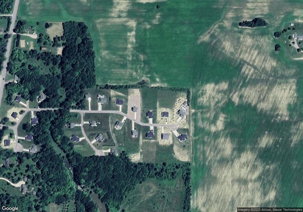
Map
Nearby Homes
- 7241 A St
- 7230 Maple St
- VL Highfield Beach Dr Unit 43
- VL Highfield Beach Dr Unit Lot 6
- 500 Blue Star Hwy Unit 21 Acres
- V/L Miami Ave
- V/L Miami Ave Unit Lots 21-24
- 000 Miami Ave
- 7146 Lakeview Ave
- 475 Lakeshore Dr
- 7255 Miami Ave
- 637 Lantern Watch Dr Unit 35
- 7251 Beverly Dr
- 665 Lantern Watch Dr Unit 28
- 688 Waters Edge Unit 15
- 688 Waters Edge
- 7263 Beverly Dr
- 684 Waters Edge Unit 14
- 02 Hawks Nest Dr
- 00 Hawks Nest Dr
- 7173 Point Betsie Dr Unit 23
- 7113 Point Betsie Unit 23
- 7267 Point Betsie Dr Unit 24
- 7167 Point Betsie Dr
- 7167 Point Betsie Dr Unit 24
- 7181 Point Betsie Dr Unit 21
- 7181 Point Betsie Dr
- 7181 Point Betsie Dr Unit 22
- 7161 Point Betsie Dr
- 7161 Point Betsie Dr Unit 25
- 7187 Point Betsie Dr Unit 22
- 7187 Point Betsie Dr
- 7187 Point Betsie Dr Unit 21
- 7186 Point Betsie Dr
- 7186 Point Betsie Dr Unit 15
- 7180 Point Betsie Dr
- 7180 Point Betsie Dr Unit 16
- 7172 Point Betsie Dr
- 7172 Point Betsie Dr Unit 17
- 7166 Point Betsie Dr