7175 Merritt Rd Ypsilanti, MI 48197
Estimated Value: $263,272 - $320,000
3
Beds
1
Bath
1,761
Sq Ft
$162/Sq Ft
Est. Value
About This Home
This home is located at 7175 Merritt Rd, Ypsilanti, MI 48197 and is currently estimated at $284,568, approximately $161 per square foot. 7175 Merritt Rd is a home located in Washtenaw County with nearby schools including Lincoln Senior High School, East Arbor Charter Academy, and Arbor Preparatory High School.
Ownership History
Date
Name
Owned For
Owner Type
Purchase Details
Closed on
Jul 10, 2022
Sold by
Fry Michael
Bought by
Fry Michael
Current Estimated Value
Purchase Details
Closed on
Aug 2, 2021
Sold by
Bago James P
Bought by
Fry Michael and Fry Courtney
Home Financials for this Owner
Home Financials are based on the most recent Mortgage that was taken out on this home.
Original Mortgage
$144,000
Interest Rate
3%
Mortgage Type
New Conventional
Create a Home Valuation Report for This Property
The Home Valuation Report is an in-depth analysis detailing your home's value as well as a comparison with similar homes in the area
Home Values in the Area
Average Home Value in this Area
Purchase History
| Date | Buyer | Sale Price | Title Company |
|---|---|---|---|
| Fry Michael | -- | -- | |
| Fry Michael | $180,000 | Lawyers Title Agency |
Source: Public Records
Mortgage History
| Date | Status | Borrower | Loan Amount |
|---|---|---|---|
| Previous Owner | Fry Michael | $144,000 |
Source: Public Records
Tax History Compared to Growth
Tax History
| Year | Tax Paid | Tax Assessment Tax Assessment Total Assessment is a certain percentage of the fair market value that is determined by local assessors to be the total taxable value of land and additions on the property. | Land | Improvement |
|---|---|---|---|---|
| 2025 | -- | $106,000 | $0 | $0 |
| 2024 | $2,904 | $111,000 | $0 | $0 |
| 2023 | $2,611 | $96,600 | $0 | $0 |
| 2022 | $2,492 | $88,800 | $0 | $0 |
| 2021 | $1,048 | $94,500 | $0 | $0 |
| 2020 | $2,207 | $89,300 | $0 | $0 |
| 2019 | $2,207 | $86,300 | $86,300 | $0 |
| 2018 | $0 | $59,100 | $0 | $0 |
| 2017 | $2,213 | $55,700 | $0 | $0 |
| 2016 | $1,370 | $47,063 | $0 | $0 |
| 2015 | $2,096 | $46,923 | $0 | $0 |
| 2014 | $2,096 | $45,458 | $0 | $0 |
| 2013 | -- | $45,458 | $0 | $0 |
Source: Public Records
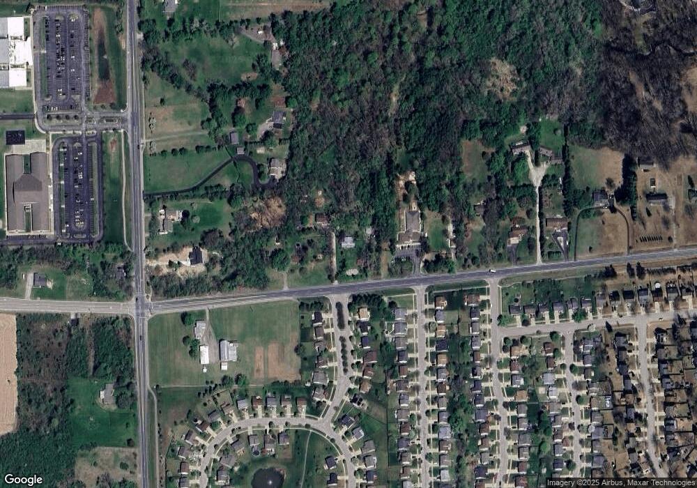
Map
Nearby Homes
- 7109 Royal Troon Dr
- 7363 Hideaway Dr
- 7066 Streamwood Dr
- 7179 Streamwood Dr
- 6447 Oakhurst Dr
- 7184 Glacier Pointe Dr
- 7404 Dover Dr
- 7785 Dover Dr
- 6131 Creekside Cir
- 7854 Berwick Dr
- 6935 Stony Creek Rd
- 5193 Textile Rd
- 8501 Martz Rd
- 7501 Carlton Dr
- 7435 Textile Rd
- 7980 Berwick Dr
- 8076 Pebblestone Dr
- 7659 Carlton Dr
- 8350 Thornhill Dr
- 6115 Whittaker Rd
- 7151 Merritt Rd
- 7093 Merritt Rd
- 7034 Hogan Dr
- 7001 Amberly Way
- 7301 Merritt Rd
- 7013 Amberly Way Unit 181
- 7003 Hogan Dr
- 7046 Hogan Dr
- 7008 Amberly Way Unit 1
- 7025 Amberly Way
- 7020 Amberly Way
- 7015 Hogan Dr
- 7329 Merritt Rd
- 7058 Hogan Dr
- 7006 Mission Hills Dr
- 7027 Hogan Dr
- 7032 Amberly Way Unit 3
- 7037 Amberly Way Unit 179
- 7070 Hogan Dr
- 7018 Mission Hills Dr