7176 Center St Newport, MI 48166
Estimated Value: $150,000 - $169,897
2
Beds
1
Bath
943
Sq Ft
$173/Sq Ft
Est. Value
About This Home
This home is located at 7176 Center St, Newport, MI 48166 and is currently estimated at $162,974, approximately $172 per square foot. 7176 Center St is a home located in Monroe County with nearby schools including Jefferson High School.
Ownership History
Date
Name
Owned For
Owner Type
Purchase Details
Closed on
May 19, 2022
Sold by
Chase Sovey Robert
Bought by
Mcgee Scott Allen
Current Estimated Value
Purchase Details
Closed on
Nov 4, 2020
Sold by
Wiegand Joseph E and Wiegand Susan M
Bought by
Sovey Robert Chase
Home Financials for this Owner
Home Financials are based on the most recent Mortgage that was taken out on this home.
Original Mortgage
$104,500
Interest Rate
2.8%
Mortgage Type
New Conventional
Purchase Details
Closed on
Dec 2, 2016
Sold by
Gossett Robert C and Gossett Linda M
Bought by
Wiegand Joseph E and Wiegand Susan M
Create a Home Valuation Report for This Property
The Home Valuation Report is an in-depth analysis detailing your home's value as well as a comparison with similar homes in the area
Home Values in the Area
Average Home Value in this Area
Purchase History
| Date | Buyer | Sale Price | Title Company |
|---|---|---|---|
| Mcgee Scott Allen | $144,400 | None Listed On Document | |
| Sovey Robert Chase | $110,000 | Title Connect Llc | |
| Wiegand Joseph E | $40,000 | None Available |
Source: Public Records
Mortgage History
| Date | Status | Borrower | Loan Amount |
|---|---|---|---|
| Previous Owner | Sovey Robert Chase | $104,500 |
Source: Public Records
Tax History Compared to Growth
Tax History
| Year | Tax Paid | Tax Assessment Tax Assessment Total Assessment is a certain percentage of the fair market value that is determined by local assessors to be the total taxable value of land and additions on the property. | Land | Improvement |
|---|---|---|---|---|
| 2025 | $1,236 | $57,300 | $57,300 | $0 |
| 2024 | $591 | $61,000 | $0 | $0 |
| 2023 | $562 | $65,800 | $0 | $0 |
| 2022 | $1,174 | $65,800 | $0 | $0 |
| 2021 | $1,131 | $50,500 | $0 | $0 |
| 2020 | $1,536 | $42,200 | $0 | $0 |
| 2019 | $1,858 | $42,200 | $0 | $0 |
| 2018 | $1,475 | $35,700 | $0 | $0 |
| 2017 | $1,446 | $35,700 | $0 | $0 |
| 2016 | $1,671 | $35,598 | $0 | $0 |
| 2015 | $1,271 | $34,592 | $0 | $0 |
| 2014 | $1,588 | $34,592 | $0 | $0 |
| 2013 | -- | $33,779 | $0 | $0 |
Source: Public Records
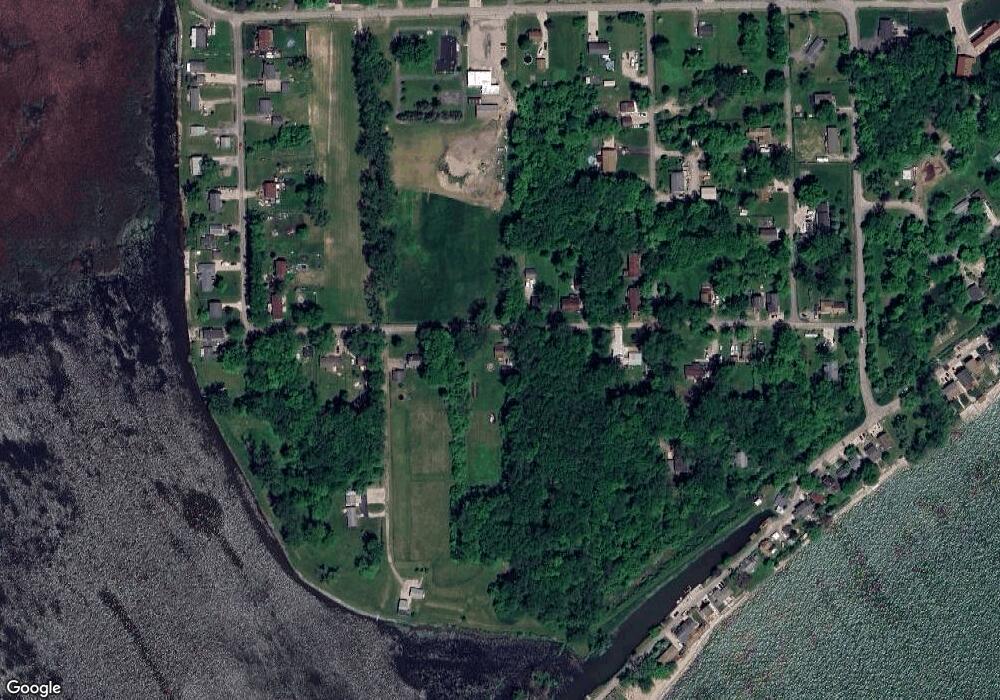
Map
Nearby Homes
- 7405 Ottiellie St
- 6809 Lakeshore Dr
- 0 Lakeshore Dr Unit 50173302
- 7888 Lakeshore Dr
- 7164 Star Lane Rd
- Parcel E Us Turnpike Rd
- Parcel D Us Turnpike Rd
- Parcel C Us Turnpike Rd
- Parcel B Us Turnpike Rd
- Parcel A Us Turnpike Rd
- 03 Joann Dr
- Vacant Lakeview
- 8348 N Dixie Hwy
- 4930 Springside St
- 7458 Swan Creek Rd
- 00000 N Dixie Hwy
- 0 N Dixie Hwy Unit 50186292
- 4468 Partridge Ln
- 0 Sterling Williams Dr
- 0 Sterling Dr
- 0 Center St Unit 57050125214
- 0 Center St
- 7197 Center St
- 7144 Center St
- 7215 Center St
- 7290 Center St
- 7130 Center St
- 7367 Starlight Rd
- 7402 Canal St
- 7385 Starlight Rd
- 7288 Center St
- 7116 Center St
- 7219 Park Ave
- 7219 Park Ave
- 7219 Park Ave
- 7310 Estral Ct
- 7281 Center St
- 7281 Center St
- 0 Port Sunlight Rd Unit 213048735
- 0 Port Sunlight Rd Unit 214023014