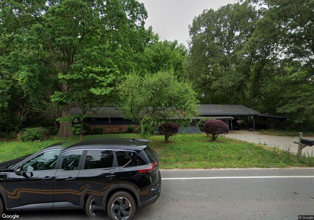
7179 Highway 212 Covington, GA 30016
Estimated Value: $130,000 - $319,000
4
Beds
3
Baths
1,766
Sq Ft
$137/Sq Ft
Est. Value
About This Home
This home is located at 7179 Highway 212, Covington, GA 30016 and is currently estimated at $241,904, approximately $136 per square foot. 7179 Highway 212 is a home located in Newton County with nearby schools including Oak Hill Elementary School, Veterans Memorial Middle School, and Alcovy High School.
Ownership History
Date
Name
Owned For
Owner Type
Purchase Details
Closed on
Nov 19, 2003
Sold by
Quinn Sandra L and Quinn Dennis M
Bought by
Astrin Steven A
Current Estimated Value
Home Financials for this Owner
Home Financials are based on the most recent Mortgage that was taken out on this home.
Original Mortgage
$99,875
Interest Rate
5.93%
Mortgage Type
New Conventional
Purchase Details
Closed on
Feb 17, 2003
Sold by
Quinn Sandra L
Bought by
Quinn Dennis M
Purchase Details
Closed on
Jun 4, 2001
Sold by
Quinn Dennis M
Bought by
Quinn Sandra L
Create a Home Valuation Report for This Property
The Home Valuation Report is an in-depth analysis detailing your home's value as well as a comparison with similar homes in the area
Home Values in the Area
Average Home Value in this Area
Purchase History
| Date | Buyer | Sale Price | Title Company |
|---|---|---|---|
| Astrin Steven A | $117,500 | -- | |
| Quinn Dennis M | -- | -- | |
| Quinn Sandra L | -- | -- |
Source: Public Records
Mortgage History
| Date | Status | Borrower | Loan Amount |
|---|---|---|---|
| Closed | Astrin Steven A | $99,875 |
Source: Public Records
Tax History Compared to Growth
Tax History
| Year | Tax Paid | Tax Assessment Tax Assessment Total Assessment is a certain percentage of the fair market value that is determined by local assessors to be the total taxable value of land and additions on the property. | Land | Improvement |
|---|---|---|---|---|
| 2024 | $1,215 | $47,960 | $6,640 | $41,320 |
| 2023 | $1,175 | $43,320 | $5,040 | $38,280 |
| 2022 | $623 | $22,960 | $5,040 | $17,920 |
| 2021 | $696 | $22,960 | $5,040 | $17,920 |
| 2020 | $736 | $21,920 | $4,000 | $17,920 |
| 2019 | $748 | $21,920 | $4,000 | $17,920 |
| 2018 | $753 | $21,920 | $4,000 | $17,920 |
| 2017 | $753 | $21,920 | $4,000 | $17,920 |
| 2016 | $753 | $21,920 | $4,000 | $17,920 |
| 2015 | $753 | $21,920 | $4,000 | $17,920 |
| 2014 | $750 | $21,920 | $0 | $0 |
Source: Public Records
Map
Nearby Homes
- 134 Oak Hill West Rd
- 5312 Ashley Dr SE
- 35 Fourwood Dr
- 14908 Brown Bridge Rd
- 634 Knollwood Cir SE
- 2178 NE Hillwood Dr
- 14845 Brown Bridge Rd
- 120 Wintergreen Ct
- 5240 Highway 20 S
- 170 Gibson Way
- 339 Buckingham Dr SW
- 821 Greenwood Trail SE
- 4938 Lake Forest Dr SE
- 4980 W Lake Dr SE
- 801 Greenwood Trail SE
- 4931 W Lake Dr SE
- 4822 Navajo Trail SE
- 4731 Shadybrook Way SE Unit 2
- 4710 Cedar Brook Dr SE
- 7179 Georgia 212
- 7195 Highway 212
- 7180 Highway 212
- 7188 N Highway 212
- 7211 Highway 212
- 80 W Sycamore Ct
- 7164 Highway 212
- 70 W Sycamore Ct
- 50 Lester Rd
- 7128 Highway 212
- 60 W Sycamore Ct
- 40 Oak Hill West Rd
- 37 Lester Rd
- W W Sycamore Ct
- 50 W Sycamore Ct
- 0 W Sycamore Ct Unit 3234535
- 0 W Sycamore Ct Unit 7034960
- 0 W Sycamore Ct
- 75 W Sycamore Ct
- 70 Oak Hill West Rd