7179 McDonald St Harsens Island, MI 48028
Harsens Island NeighborhoodEstimated Value: $311,000 - $456,000
4
Beds
2
Baths
1,860
Sq Ft
$197/Sq Ft
Est. Value
About This Home
This home is located at 7179 McDonald St, Harsens Island, MI 48028 and is currently estimated at $366,473, approximately $197 per square foot. 7179 McDonald St is a home with nearby schools including Algonac Junior/Senior High School.
Ownership History
Date
Name
Owned For
Owner Type
Purchase Details
Closed on
Jun 30, 2008
Sold by
Beaulac Gary and Beaulac Carol Ann
Bought by
Olderman Michael
Current Estimated Value
Home Financials for this Owner
Home Financials are based on the most recent Mortgage that was taken out on this home.
Original Mortgage
$199,800
Outstanding Balance
$129,419
Interest Rate
6.15%
Mortgage Type
New Conventional
Estimated Equity
$237,054
Create a Home Valuation Report for This Property
The Home Valuation Report is an in-depth analysis detailing your home's value as well as a comparison with similar homes in the area
Home Values in the Area
Average Home Value in this Area
Purchase History
| Date | Buyer | Sale Price | Title Company |
|---|---|---|---|
| Olderman Michael | $222,000 | Devon Title Agency |
Source: Public Records
Mortgage History
| Date | Status | Borrower | Loan Amount |
|---|---|---|---|
| Open | Olderman Michael | $199,800 |
Source: Public Records
Tax History Compared to Growth
Tax History
| Year | Tax Paid | Tax Assessment Tax Assessment Total Assessment is a certain percentage of the fair market value that is determined by local assessors to be the total taxable value of land and additions on the property. | Land | Improvement |
|---|---|---|---|---|
| 2025 | $2,819 | $146,800 | $0 | $0 |
| 2024 | $1,564 | $136,800 | $0 | $0 |
| 2023 | $1,507 | $127,500 | $0 | $0 |
| 2022 | $2,597 | $116,300 | $0 | $0 |
| 2021 | $2,461 | $112,400 | $0 | $0 |
| 2020 | $2,522 | $106,200 | $106,200 | $0 |
| 2019 | $2,628 | $103,800 | $0 | $0 |
| 2018 | $2,601 | $88,700 | $0 | $0 |
| 2017 | $2,416 | $87,200 | $0 | $0 |
| 2016 | $1,238 | $87,200 | $0 | $0 |
| 2015 | -- | $72,700 | $72,700 | $0 |
| 2014 | -- | $66,100 | $66,100 | $0 |
| 2013 | -- | $62,800 | $0 | $0 |
Source: Public Records
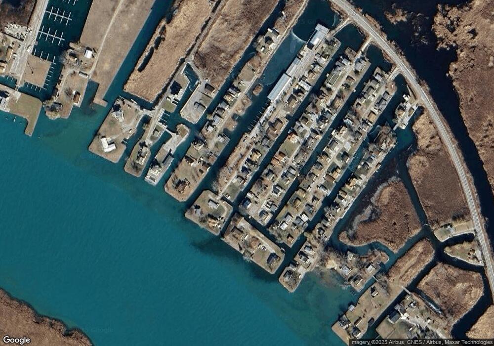
Map
Nearby Homes
- 7258 Bedore Hwy
- 7286 S Channel Dr
- 7054 Middle Channel Dr
- 9450 S Channel
- 9446 S Channel
- 21 Lots S Channel Dr
- 9616 S Channel Dr
- 9675 S Channel Dr
- 3292 S Channel Dr
- 9811 S Channel Dr
- 3120 S Channel Dr
- 199 La Croix Rd
- 2039 Golf Course Rd
- 1670 S Channel Dr
- 0 S Channel
- 2090 N Channel Dr
- 00 N Channel Dr
- 00000 N Channel Dr
- 407-425 N Channel Dr
- 0 N Channel Dr Unit 50172349
- 7175 McDonald St
- 7189 McDonald St
- 7189 McDonald St
- 7171 McDonald St
- 7189 Zack Dr
- 7214 Lazy Ln
- 7143 Lazy Ln
- 7208 Lazy Ln
- 7235 Lazy Ln
- 7167 McDonald St
- 7211 Lazy Ln
- 7242 Bedore St
- 7207 Lazy Ln
- 7200 S Channel Dr
- 7186 S Channel Dr
- 7183 S Channel Dr
- 7161 McDonald St
- 7141 McDonald Dr
- 7205 Bedore St
- 7199 Lazy Ln