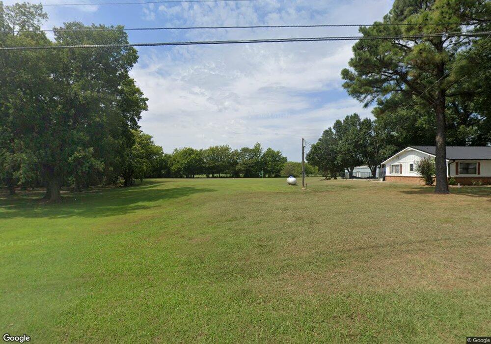
71799 S 260 Rd Wagoner, OK 74467
Estimated Value: $264,000 - $305,000
4
Beds
2
Baths
2,143
Sq Ft
$133/Sq Ft
Est. Value
About This Home
This home is located at 71799 S 260 Rd, Wagoner, OK 74467 and is currently estimated at $284,879, approximately $132 per square foot. 71799 S 260 Rd is a home located in Wagoner County with nearby schools including Ellington Elementary School, William R. Teague Elementary School, and Wagoner Middle School.
Ownership History
Date
Name
Owned For
Owner Type
Purchase Details
Closed on
Mar 11, 2011
Sold by
Mccrackin John
Bought by
Gobin Roy Curtis and Gobin Michelle D
Current Estimated Value
Home Financials for this Owner
Home Financials are based on the most recent Mortgage that was taken out on this home.
Original Mortgage
$134,715
Outstanding Balance
$92,182
Interest Rate
4.78%
Mortgage Type
Purchase Money Mortgage
Estimated Equity
$192,697
Purchase Details
Closed on
Dec 5, 1995
Sold by
Meredith Tim D and Laura Jean
Create a Home Valuation Report for This Property
The Home Valuation Report is an in-depth analysis detailing your home's value as well as a comparison with similar homes in the area
Home Values in the Area
Average Home Value in this Area
Purchase History
| Date | Buyer | Sale Price | Title Company |
|---|---|---|---|
| Gobin Roy Curtis | $130,000 | None Available | |
| -- | $75,000 | -- |
Source: Public Records
Mortgage History
| Date | Status | Borrower | Loan Amount |
|---|---|---|---|
| Open | Gobin Roy Curtis | $134,715 |
Source: Public Records
Tax History Compared to Growth
Tax History
| Year | Tax Paid | Tax Assessment Tax Assessment Total Assessment is a certain percentage of the fair market value that is determined by local assessors to be the total taxable value of land and additions on the property. | Land | Improvement |
|---|---|---|---|---|
| 2025 | $1,568 | $17,826 | $2,607 | $15,219 |
| 2024 | $1,568 | $16,977 | $2,483 | $14,494 |
| 2023 | $1,493 | $16,169 | $2,357 | $13,812 |
| 2022 | $1,419 | $15,399 | $2,218 | $13,181 |
| 2021 | $1,358 | $14,665 | $2,108 | $12,557 |
| 2020 | $1,325 | $13,967 | $2,108 | $11,859 |
| 2019 | $858 | $11,503 | $1,600 | $9,903 |
| 2018 | $879 | $11,168 | $1,265 | $9,903 |
| 2017 | $866 | $11,172 | $1,265 | $9,907 |
| 2016 | $870 | $11,503 | $1,265 | $10,238 |
| 2015 | $890 | $11,618 | $1,265 | $10,353 |
| 2014 | $1,139 | $14,543 | $1,680 | $12,863 |
Source: Public Records
Map
Nearby Homes
- 001 S 260 Rd
- 2 S 720 Rd
- 26530 E 710 Rd
- 3 N Old Town Rd
- 19 E 710 Rd
- 0 State Hwy 51 Hwy W Unit 2529536
- 71279 S 270 Rd
- 26048 E 731 Rd
- 122 Yorkshire Blvd
- 517 Park St
- 519 Park St
- 73131 S 262 Rd
- 1807 SW 2nd Place
- 3 Old Town Rd
- 405 Mockingbird Ln
- 308 Roosevelt Ave
- 406 Mockingbird Ln
- 312 Roosevelt Ave
- 311 Roosevelt Ave
- 1 Ash Ave
- 71767 S 260 Rd
- 71693 S 260 Rd
- 25907 E 720 Rd
- 71955 S 260 Rd
- 26071 E 720 Rd
- 25787 E 720 Rd
- 71644 S 260 Rd
- 26101 E 720 Rd
- 71505 S 260 Rd
- 0 E 720 Rd Unit 2337698
- 0 E 720 Rd Unit 1535204
- 0 E 720 Rd Unit 1555314
- 0 E 720 Rd Unit 1844645
- 0 E 720 Rd Unit 1939111
- 0 E 720 Rd Unit 2015287
- 0 E 720 Rd Unit 2023536
- 0 E 720 Rd Unit 2109516
- 0 E 720 Rd Unit 2209700
- 26227 E 720 Rd
- 25362 E 720 Rd