718 Chandler Rd Gurnee, IL 60031
Estimated Value: $159,000 - $181,000
1
Bed
1
Bath
782
Sq Ft
$218/Sq Ft
Est. Value
About This Home
This home is located at 718 Chandler Rd, Gurnee, IL 60031 and is currently estimated at $170,841, approximately $218 per square foot. 718 Chandler Rd is a home located in Lake County with nearby schools including Woodland Primary School, Woodland Elementary School, and Woodland Intermediate School.
Ownership History
Date
Name
Owned For
Owner Type
Purchase Details
Closed on
Aug 30, 2017
Sold by
Czahor Jennie A
Bought by
Wright Leslie
Current Estimated Value
Home Financials for this Owner
Home Financials are based on the most recent Mortgage that was taken out on this home.
Original Mortgage
$76,000
Outstanding Balance
$63,465
Interest Rate
3.9%
Mortgage Type
New Conventional
Estimated Equity
$107,376
Purchase Details
Closed on
Oct 14, 2007
Sold by
Czahor Jennie A
Bought by
Czahor Jennie A and The Living Trust Of Jennie A Czahor
Purchase Details
Closed on
May 16, 2000
Sold by
Czahor Jennie A
Bought by
Czahor Jennie A and Jennie A Czahor Living Trust
Create a Home Valuation Report for This Property
The Home Valuation Report is an in-depth analysis detailing your home's value as well as a comparison with similar homes in the area
Home Values in the Area
Average Home Value in this Area
Purchase History
| Date | Buyer | Sale Price | Title Company |
|---|---|---|---|
| Wright Leslie | $96,950 | Chicago Title | |
| Czahor Jennie A | -- | None Available | |
| Czahor Jennie A | -- | -- |
Source: Public Records
Mortgage History
| Date | Status | Borrower | Loan Amount |
|---|---|---|---|
| Open | Wright Leslie | $76,000 |
Source: Public Records
Tax History
| Year | Tax Paid | Tax Assessment Tax Assessment Total Assessment is a certain percentage of the fair market value that is determined by local assessors to be the total taxable value of land and additions on the property. | Land | Improvement |
|---|---|---|---|---|
| 2024 | $1,022 | $41,912 | $8,185 | $33,727 |
| 2023 | $1,501 | $38,912 | $7,599 | $31,313 |
| 2022 | $1,501 | $32,149 | $6,377 | $25,772 |
| 2021 | $1,417 | $27,069 | $5,369 | $21,700 |
| 2020 | $1,865 | $26,404 | $5,237 | $21,167 |
| 2019 | $1,805 | $25,637 | $5,085 | $20,552 |
| 2018 | $930 | $18,905 | $2,649 | $16,256 |
| 2017 | $680 | $18,363 | $2,573 | $15,790 |
| 2016 | $629 | $17,545 | $2,458 | $15,087 |
| 2015 | $559 | $16,640 | $2,331 | $14,309 |
| 2014 | $506 | $16,068 | $2,300 | $13,768 |
| 2012 | $1,798 | $16,191 | $2,318 | $13,873 |
Source: Public Records
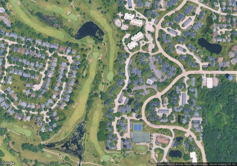
Map
Nearby Homes
- 748 Chandler Rd
- 690 Chandler Rd Unit 211
- 690 Chandler Rd Unit 302
- 650 Whitney Ct Unit 211
- 705 Colby Ct Unit U78
- 727 Colby Ct Unit U57
- 598 Dunham Rd Unit U297
- 6167 Golfview Dr
- 651 White Ct
- 920 Vose Dr Unit 304
- 920 Vose Dr Unit 106
- 649 Wilbur Ct
- 6296 Doral Dr
- 6349 Braxton Ct
- 33430 N Hunt Club Rd
- 256 Hill n Dale Ct
- 6230 Old Farm Ln
- 17150 W Washington St
- 32981 N River Rd
- 6091 Washington St
- 720 Chandler Rd Unit U95
- 716 Chandler Rd Unit U97
- 714 Chandler Rd Unit 98
- 722 Chandler Rd
- 722 Chandler Rd Unit 1
- 724 Chandler Rd Unit U93
- 712 Chandler Rd
- 710 Chandler Rd Unit 100
- 726 Chandler Rd
- 728 Chandler Rd
- 708 Chandler Rd Unit U101
- 731 Shepard Rd Unit U201
- 711 Shepard Rd Unit U118
- 706 Chandler Rd Unit U102
- 709 Shepard Rd Unit U117
- 729 Shepard Rd
- 729 Shepard Rd Unit 202
- 713 Chandler Rd Unit U115
- 713 Shepard Rd Unit U119
- 715 Shepard Rd Unit U120
Your Personal Tour Guide
Ask me questions while you tour the home.