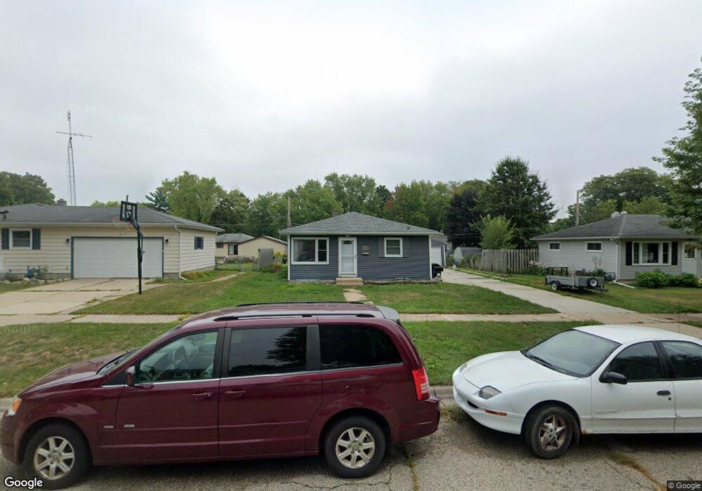
718 Church St Janesville, WI 53548
Estimated Value: $185,183 - $240,000
3
Beds
1
Bath
988
Sq Ft
$220/Sq Ft
Est. Value
About This Home
This home is located at 718 Church St, Janesville, WI 53548 and is currently estimated at $217,796, approximately $220 per square foot. 718 Church St is a home located in Rock County with nearby schools including Washington Elementary School, Franklin Middle School, and Parker High School.
Ownership History
Date
Name
Owned For
Owner Type
Purchase Details
Closed on
Jun 28, 2021
Sold by
Helling David E
Bought by
Helling Neven D
Current Estimated Value
Home Financials for this Owner
Home Financials are based on the most recent Mortgage that was taken out on this home.
Original Mortgage
$126,000
Outstanding Balance
$114,325
Interest Rate
2.9%
Mortgage Type
New Conventional
Estimated Equity
$103,471
Purchase Details
Closed on
May 21, 2015
Sold by
Helling Sara A
Bought by
Helling David E
Create a Home Valuation Report for This Property
The Home Valuation Report is an in-depth analysis detailing your home's value as well as a comparison with similar homes in the area
Home Values in the Area
Average Home Value in this Area
Purchase History
| Date | Buyer | Sale Price | Title Company |
|---|---|---|---|
| Helling Neven D | $126,000 | None Available | |
| Helling David E | -- | -- |
Source: Public Records
Mortgage History
| Date | Status | Borrower | Loan Amount |
|---|---|---|---|
| Open | Helling Neven D | $126,000 |
Source: Public Records
Tax History Compared to Growth
Tax History
| Year | Tax Paid | Tax Assessment Tax Assessment Total Assessment is a certain percentage of the fair market value that is determined by local assessors to be the total taxable value of land and additions on the property. | Land | Improvement |
|---|---|---|---|---|
| 2024 | $2,381 | $154,300 | $23,400 | $130,900 |
| 2023 | $2,374 | $154,300 | $23,400 | $130,900 |
| 2022 | $2,507 | $107,700 | $23,400 | $84,300 |
| 2021 | $2,702 | $107,700 | $23,400 | $84,300 |
| 2020 | $2,285 | $107,700 | $23,400 | $84,300 |
| 2019 | $2,209 | $107,700 | $23,400 | $84,300 |
| 2018 | $2,054 | $83,300 | $24,200 | $59,100 |
| 2017 | $1,996 | $83,300 | $24,200 | $59,100 |
| 2016 | $2,131 | $83,300 | $24,200 | $59,100 |
| 2015 | $1,884 | $83,300 | $24,200 | $59,100 |
| 2014 | $1,881 | $83,300 | $24,200 | $59,100 |
| 2013 | $1,912 | $83,300 | $24,200 | $59,100 |
Source: Public Records
Map
Nearby Homes
- 1718 Linden Ave
- 1615 Highland Ave
- 2219 Elizabeth St
- 1515 Highland Ave
- 2334 Elizabeth St
- 2504 Dartmouth Dr
- 621 N Palm St
- 2930 W Memorial Dr
- 1515 Mineral Point Ave
- 821 N Washington St
- 1128 N Osborne Ave
- 544 N Chatham St
- 1321 Mineral Point Ave
- 2804 Dartmouth Dr
- 1406 Macarthur Dr
- 481 N Pearl St
- 2312 Mole Ave
- 1826 Bond Place
- 439 N Chatham St
- 1521 Ravine St