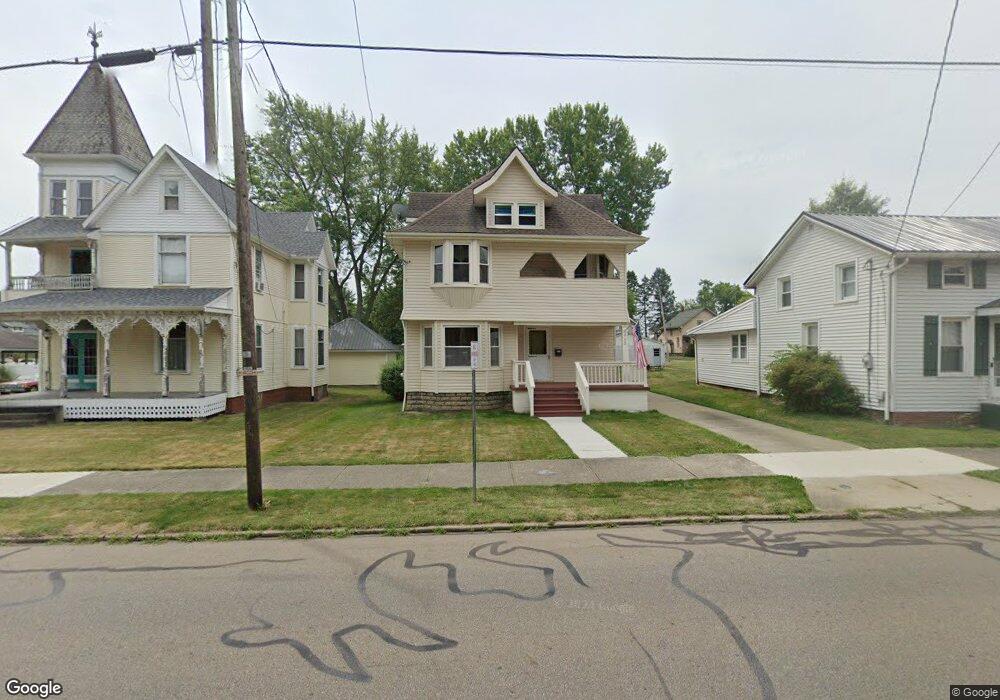
718 E Main St Louisville, OH 44641
Estimated Value: $160,738 - $212,000
5
Beds
2
Baths
2,260
Sq Ft
$84/Sq Ft
Est. Value
About This Home
This home is located at 718 E Main St, Louisville, OH 44641 and is currently estimated at $190,935, approximately $84 per square foot. 718 E Main St is a home located in Stark County with nearby schools including Louisville High School and St. Thomas Aquinas High School & Middle School.
Ownership History
Date
Name
Owned For
Owner Type
Purchase Details
Closed on
Jun 4, 2000
Sold by
Brown Amy M
Bought by
Appleby John C and Appleby Kimberly A
Current Estimated Value
Home Financials for this Owner
Home Financials are based on the most recent Mortgage that was taken out on this home.
Original Mortgage
$67,500
Interest Rate
8.64%
Mortgage Type
Purchase Money Mortgage
Create a Home Valuation Report for This Property
The Home Valuation Report is an in-depth analysis detailing your home's value as well as a comparison with similar homes in the area
Home Values in the Area
Average Home Value in this Area
Purchase History
| Date | Buyer | Sale Price | Title Company |
|---|---|---|---|
| Appleby John C | $90,000 | -- |
Source: Public Records
Mortgage History
| Date | Status | Borrower | Loan Amount |
|---|---|---|---|
| Closed | Appleby John C | $67,500 | |
| Closed | Appleby John C | $18,000 |
Source: Public Records
Tax History
| Year | Tax Paid | Tax Assessment Tax Assessment Total Assessment is a certain percentage of the fair market value that is determined by local assessors to be the total taxable value of land and additions on the property. | Land | Improvement |
|---|---|---|---|---|
| 2025 | -- | $46,630 | $12,010 | $34,620 |
| 2024 | -- | $46,630 | $12,010 | $34,620 |
| 2023 | $1,733 | $39,940 | $9,450 | $30,490 |
| 2022 | $1,738 | $39,940 | $9,450 | $30,490 |
| 2021 | $1,743 | $39,940 | $9,450 | $30,490 |
| 2020 | $1,468 | $36,480 | $8,510 | $27,970 |
| 2019 | $1,403 | $34,690 | $7,910 | $26,780 |
Source: Public Records
Map
Nearby Homes
- 1010 Washington Ave
- 408 E Gorgas St
- 230 Superior St
- 319 Superior St
- 313 Ickes Ct
- 0 Michigan Blvd
- 304 South St
- 1431 High St
- 901 N Marion Ave
- 280 Kennedy St
- 435 Honeycrisp Dr NE
- 1402 S Chapel St
- 1709 Edmar St
- 1830 Airpark Dr
- 161 Beau Chemin Ave Unit 6B
- 316 E Reno Dr
- 514 Reno Dr
- 704 Reno Dr
- 907 Park Village Dr
- 2120 Edmar St
- 802 E Main St
- 716 E Main St
- 710 E Main St
- 808 E Main St
- 706 E Main St
- 800 Schaffer Ct
- 718 Schaffer Ct
- 714 Schaffer Ct
- 203 S Silver St
- 710 Schaffer Ct
- 207 S Silver St
- 805 E Main St
- 211 S Silver St
- 704 Schaffer Ct
- 902 E Main St
- 116 S Silver St
- 612 E Main St
- 813 E Main St
- 911 Schaffer Ct
- 803 E Gorgas St
Your Personal Tour Guide
Ask me questions while you tour the home.