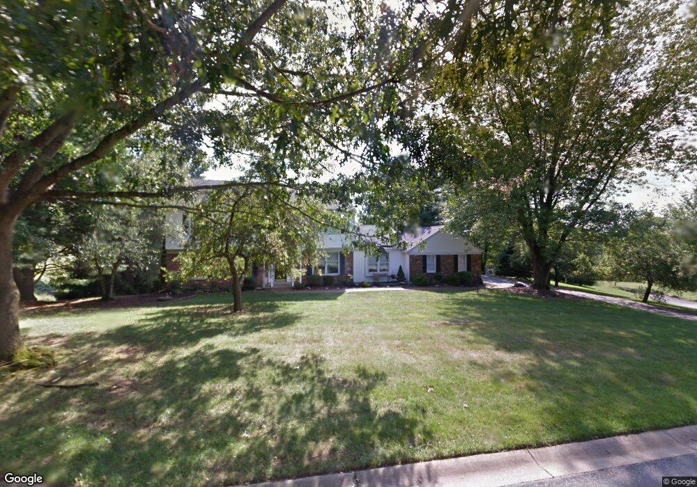
718 Isaac Taylor Dr West Chester, PA 19382
Estimated Value: $811,000 - $1,048,000
4
Beds
3
Baths
2,914
Sq Ft
$320/Sq Ft
Est. Value
About This Home
This home is located at 718 Isaac Taylor Dr, West Chester, PA 19382 and is currently estimated at $933,557, approximately $320 per square foot. 718 Isaac Taylor Dr is a home located in Chester County with nearby schools including Pocopson Elementary School, Charles F. Patton Middle School, and Unionville High School.
Ownership History
Date
Name
Owned For
Owner Type
Purchase Details
Closed on
Aug 15, 2000
Sold by
Bilek Joseph T and Bilek Bridget J
Bought by
Lincoln Donald D and Lincoln Linda E
Current Estimated Value
Home Financials for this Owner
Home Financials are based on the most recent Mortgage that was taken out on this home.
Original Mortgage
$305,900
Outstanding Balance
$109,663
Interest Rate
8.06%
Estimated Equity
$823,894
Create a Home Valuation Report for This Property
The Home Valuation Report is an in-depth analysis detailing your home's value as well as a comparison with similar homes in the area
Home Values in the Area
Average Home Value in this Area
Purchase History
| Date | Buyer | Sale Price | Title Company |
|---|---|---|---|
| Lincoln Donald D | $339,900 | -- |
Source: Public Records
Mortgage History
| Date | Status | Borrower | Loan Amount |
|---|---|---|---|
| Open | Lincoln Donald D | $305,900 |
Source: Public Records
Tax History Compared to Growth
Tax History
| Year | Tax Paid | Tax Assessment Tax Assessment Total Assessment is a certain percentage of the fair market value that is determined by local assessors to be the total taxable value of land and additions on the property. | Land | Improvement |
|---|---|---|---|---|
| 2025 | $9,590 | $247,790 | $48,440 | $199,350 |
| 2024 | $9,590 | $247,790 | $48,440 | $199,350 |
| 2023 | $9,287 | $247,790 | $48,440 | $199,350 |
| 2022 | $9,097 | $247,790 | $48,440 | $199,350 |
| 2021 | $8,876 | $247,790 | $48,440 | $199,350 |
| 2020 | $8,853 | $247,790 | $48,440 | $199,350 |
| 2019 | $8,692 | $247,790 | $48,440 | $199,350 |
| 2018 | $8,667 | $247,790 | $48,440 | $199,350 |
| 2017 | $8,489 | $247,790 | $48,440 | $199,350 |
| 2016 | $982 | $247,790 | $48,440 | $199,350 |
| 2015 | $982 | $247,790 | $48,440 | $199,350 |
| 2014 | $982 | $247,790 | $48,440 | $199,350 |
Source: Public Records
Map
Nearby Homes
- 1740 Lenape Rd
- 7 Bittersweet Dr
- 30 Penn Dr
- 1435 Lenape Rd
- 2005 W Street Rd
- 4 Sloan Rd
- 1936 Lenape Rd
- 523 Radek Ct
- 741 Haines Mill Rd
- 0 Haines Mill Rd
- 275 S Creek Rd
- 1315 Lenape Rd
- 1303 Lenape Rd
- 2039-2035 Lenape Unionville Rd
- 765 Folly Hill Rd
- 1125 Mews Ln Unit 16
- 1185 W Street Rd
- 1314 Bridge Rd
- 1107 Mews Ln Unit 7
- 49 Partridge Ln
- 716 Isaac Taylor Dr
- 720 Isaac Taylor Dr
- 715 Isaac Taylor Dr
- 719 Isaac Taylor Dr
- 713 Isaac Taylor Dr
- 714 Isaac Taylor Dr
- 721 Isaac Taylor Dr
- 717 Isaac Taylor Dr
- 722 Isaac Taylor Dr
- 861 4 Streams Dr
- 712 Isaac Taylor Dr
- 855 4 Streams Dr
- 711 Isaac Taylor Dr
- 723 Isaac Taylor Dr
- 855 4 Streams Dr
- 849 4 Streams Dr
- 865 4 Streams Dr
- 724 Isaac Taylor Dr
- 710 Isaac Taylor Dr
- 707 Patrick Henry Cir