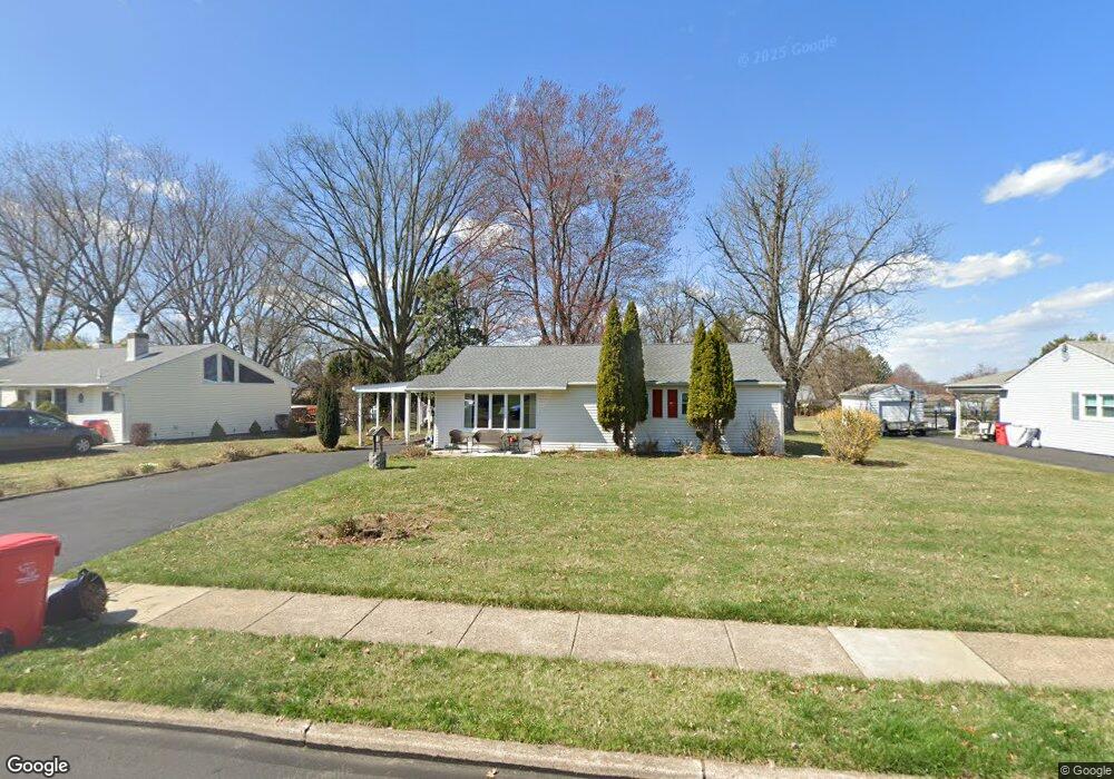
718 Phillips Rd Warminster, PA 18974
Estimated Value: $396,697 - $426,000
3
Beds
1
Bath
1,232
Sq Ft
$337/Sq Ft
Est. Value
About This Home
This home is located at 718 Phillips Rd, Warminster, PA 18974 and is currently estimated at $415,174, approximately $336 per square foot. 718 Phillips Rd is a home located in Bucks County with nearby schools including McDonald Elementary School, Log College Middle School, and William Tennent High School.
Ownership History
Date
Name
Owned For
Owner Type
Purchase Details
Closed on
Mar 24, 2008
Sold by
Povio Evelyn C and Szymanek Evelyn C
Bought by
Lamb Patricia R
Current Estimated Value
Home Financials for this Owner
Home Financials are based on the most recent Mortgage that was taken out on this home.
Original Mortgage
$200,000
Outstanding Balance
$124,731
Interest Rate
5.76%
Mortgage Type
Purchase Money Mortgage
Estimated Equity
$290,443
Purchase Details
Closed on
May 27, 1955
Bought by
Szymanek Evelyn C
Create a Home Valuation Report for This Property
The Home Valuation Report is an in-depth analysis detailing your home's value as well as a comparison with similar homes in the area
Home Values in the Area
Average Home Value in this Area
Purchase History
| Date | Buyer | Sale Price | Title Company |
|---|---|---|---|
| Lamb Patricia R | $250,000 | None Available | |
| Szymanek Evelyn C | -- | -- |
Source: Public Records
Mortgage History
| Date | Status | Borrower | Loan Amount |
|---|---|---|---|
| Open | Lamb Patricia R | $200,000 |
Source: Public Records
Tax History
| Year | Tax Paid | Tax Assessment Tax Assessment Total Assessment is a certain percentage of the fair market value that is determined by local assessors to be the total taxable value of land and additions on the property. | Land | Improvement |
|---|---|---|---|---|
| 2025 | $3,968 | $18,800 | $6,680 | $12,120 |
| 2024 | $3,968 | $18,800 | $6,680 | $12,120 |
| 2023 | $3,846 | $18,800 | $6,680 | $12,120 |
| 2022 | $3,764 | $18,800 | $6,680 | $12,120 |
| 2021 | $3,676 | $18,800 | $6,680 | $12,120 |
| 2020 | $3,624 | $18,800 | $6,680 | $12,120 |
| 2019 | $3,432 | $18,800 | $6,680 | $12,120 |
| 2018 | $3,350 | $18,800 | $6,680 | $12,120 |
| 2017 | $3,252 | $18,800 | $6,680 | $12,120 |
| 2016 | $3,252 | $18,800 | $6,680 | $12,120 |
| 2015 | $3,239 | $18,800 | $6,680 | $12,120 |
| 2014 | $3,239 | $18,800 | $6,680 | $12,120 |
Source: Public Records
Map
Nearby Homes
- 505 Orchard Ave
- 632 Longfellow Ct
- Lot 15 Kennedy Way
- 466 Nemoral St
- 854 Phillips Rd
- 737 Tennyson Dr
- 745 Tennyson Dr
- 1012 Mearns Rd
- 982 Mueller Rd
- 389 Juniper St
- 1087 Roberts Rd
- 909 Holden Ct
- 1192 Harper Dr
- 356 Magnolia Rd
- 8th Ave & York Rd
- 786 Boxwood Dr
- 840 Walnut Rd
- 942 Stein Ct
- 306 Grape St
- 1000 Jacksonville Rd Unit 18
- 728 Phillips Rd
- 708 Phillips Rd
- 738 Phillips Rd
- 698 Phillips Rd
- 715 Phillips Rd
- 735 Phillips Rd
- 725 Phillips Rd
- 691 Mason Dr
- 528 Hallowell Ave
- 705 Phillips Rd
- 688 Phillips Rd
- 697 Mason Dr
- 745 Phillips Rd
- 703 Mason Dr
- 695 Phillips Rd
- 681 Mason Dr
- 731 Mason Dr
- 721 Mason Dr
- 720 Mearns Rd
- 505 Hallowell Ave
Your Personal Tour Guide
Ask me questions while you tour the home.