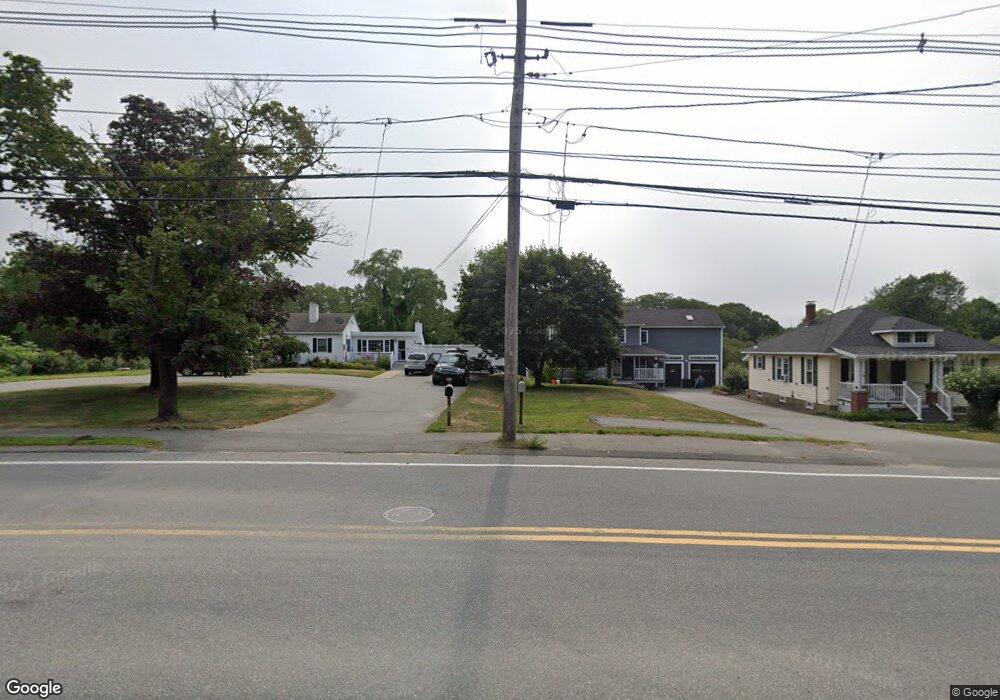
718 R Cabot St Beverly, MA 01915
North Beverly NeighborhoodEstimated Value: $442,000 - $610,352
4
Beds
3
Baths
2,370
Sq Ft
$239/Sq Ft
Est. Value
About This Home
This home is located at 718 R Cabot St, Beverly, MA 01915 and is currently estimated at $566,838, approximately $239 per square foot. 718 R Cabot St is a home located in Essex County with nearby schools including Beverly High School, Waldorf School at Moraine Farm, and North Shore Christian School.
Ownership History
Date
Name
Owned For
Owner Type
Purchase Details
Closed on
Dec 19, 2014
Sold by
Victoria J Abbott T J and Victoria Abbott
Bought by
Abbott Victoria J
Current Estimated Value
Home Financials for this Owner
Home Financials are based on the most recent Mortgage that was taken out on this home.
Original Mortgage
$253,357
Outstanding Balance
$192,881
Interest Rate
3.99%
Mortgage Type
FHA
Estimated Equity
$373,957
Purchase Details
Closed on
May 6, 2005
Sold by
Abbott Gordon V Est and Abbott
Bought by
Abbott Victoria J
Home Financials for this Owner
Home Financials are based on the most recent Mortgage that was taken out on this home.
Original Mortgage
$165,000
Interest Rate
6.01%
Mortgage Type
Purchase Money Mortgage
Purchase Details
Closed on
Sep 29, 1989
Sold by
Abbott Gordon
Bought by
Bye Richard
Create a Home Valuation Report for This Property
The Home Valuation Report is an in-depth analysis detailing your home's value as well as a comparison with similar homes in the area
Home Values in the Area
Average Home Value in this Area
Purchase History
| Date | Buyer | Sale Price | Title Company |
|---|---|---|---|
| Abbott Victoria J | -- | -- | |
| Abbott Victoria J | -- | -- | |
| Abbott Victoria J | $305,000 | -- | |
| Abbott Victoria J | $305,000 | -- | |
| Bye Richard | $129,900 | -- |
Source: Public Records
Mortgage History
| Date | Status | Borrower | Loan Amount |
|---|---|---|---|
| Open | Bye Richard | $253,357 | |
| Previous Owner | Bye Richard | $256,155 | |
| Previous Owner | Bye Richard | $165,000 |
Source: Public Records
Tax History
| Year | Tax Paid | Tax Assessment Tax Assessment Total Assessment is a certain percentage of the fair market value that is determined by local assessors to be the total taxable value of land and additions on the property. | Land | Improvement |
|---|---|---|---|---|
| 2025 | $5,755 | $523,700 | $366,000 | $157,700 |
| 2024 | $5,459 | $486,100 | $328,400 | $157,700 |
| 2023 | $5,030 | $446,700 | $289,000 | $157,700 |
| 2022 | $5,003 | $411,100 | $253,400 | $157,700 |
| 2021 | $4,646 | $365,800 | $223,300 | $142,500 |
| 2020 | $4,501 | $350,800 | $208,300 | $142,500 |
| 2019 | $4,429 | $335,300 | $191,400 | $143,900 |
| 2018 | $4,137 | $304,200 | $174,500 | $129,700 |
| 2017 | $3,996 | $279,800 | $150,100 | $129,700 |
| 2016 | $3,757 | $261,100 | $131,400 | $129,700 |
| 2015 | $3,684 | $261,100 | $131,400 | $129,700 |
Source: Public Records
Map
Nearby Homes
Your Personal Tour Guide
Ask me questions while you tour the home.