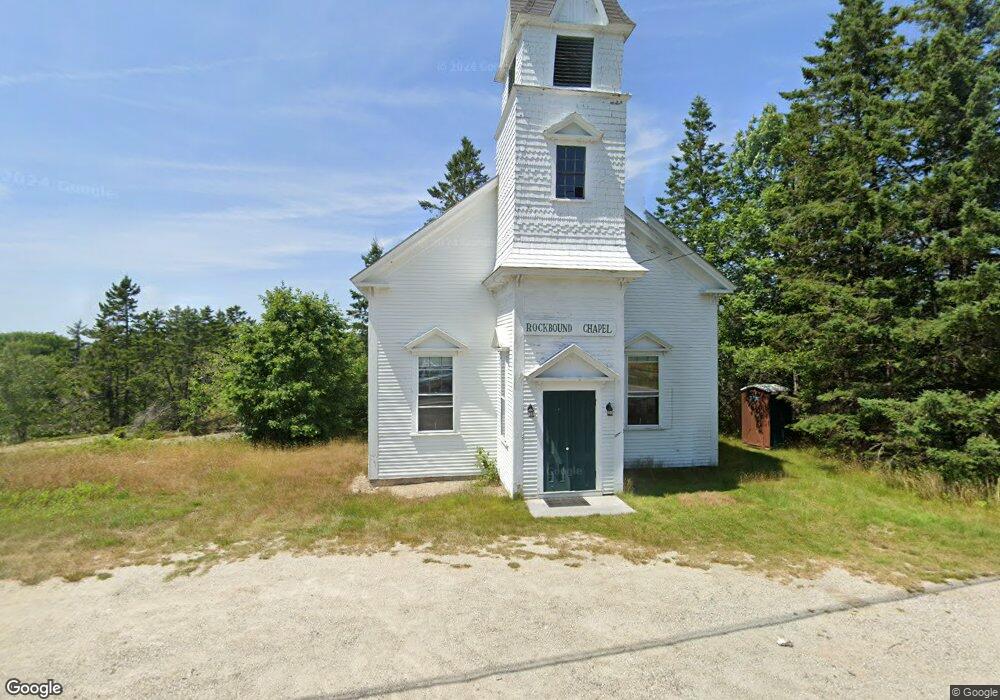
718 Reach Rd Brooklin, ME 04616
Estimated Value: $325,000 - $407,000
3
Beds
1
Bath
980
Sq Ft
$368/Sq Ft
Est. Value
About This Home
This home is located at 718 Reach Rd, Brooklin, ME 04616 and is currently estimated at $360,937, approximately $368 per square foot. 718 Reach Rd is a home with nearby schools including Brooklin School and Eggemoggin Christian Academy.
Create a Home Valuation Report for This Property
The Home Valuation Report is an in-depth analysis detailing your home's value as well as a comparison with similar homes in the area
Tax History
| Year | Tax Paid | Tax Assessment Tax Assessment Total Assessment is a certain percentage of the fair market value that is determined by local assessors to be the total taxable value of land and additions on the property. | Land | Improvement |
|---|---|---|---|---|
| 2025 | $2,009 | $254,300 | $78,200 | $176,100 |
| 2024 | $1,856 | $254,300 | $78,200 | $176,100 |
| 2023 | $1,497 | $205,000 | $78,200 | $126,800 |
| 2022 | $1,332 | $180,000 | $73,200 | $106,800 |
| 2021 | $1,363 | $180,000 | $73,200 | $106,800 |
| 2020 | $2,483 | $180,000 | $73,200 | $106,800 |
| 2019 | $2,122 | $284,800 | $190,500 | $94,300 |
| 2018 | $2,108 | $284,800 | $190,500 | $94,300 |
| 2017 | $3,183 | $282,900 | $190,500 | $92,400 |
| 2016 | $2,037 | $282,900 | $190,500 | $92,400 |
| 2015 | $2,037 | $282,900 | $190,500 | $92,400 |
| 2014 | $2,037 | $282,900 | $190,500 | $92,400 |
| 2013 | $1,867 | $282,900 | $190,500 | $92,400 |
Source: Public Records
Map
Nearby Homes
- 75 Old Cove Ln
- 284 Christy Hill Rd
- 9 River Rd Unit Lot 6
- 9 River Rd Unit Lot 3
- 30 Hardys Hill Rd
- 138 Caterpillar Hill Rd
- 594 N Deer Isle Rd
- 392 Bay Rd
- 36 Wiegand Place
- 00 Periwinkle Ln
- 0 Flye Point Unit Lot 3
- Lot 6 Sunset Rd
- 107 Acadian Oak Ln
- 435 Herrick Rd
- 0 Quaco Rd Unit 1625807
- 36 Greenlaw District Rd
- 08-02A Sedgwick Ridge Rd
- 539 Sedgwick Ridge Rd
- Lot #3 Blueberry Ridge Way
- 36 Treasure Ln
Your Personal Tour Guide
Ask me questions while you tour the home.