Estimated Value: $131,522 - $241,000
Studio
3
Baths
1,427
Sq Ft
$129/Sq Ft
Est. Value
About This Home
This home is located at 718 Thomas Davis Rd, Axson, GA 31624 and is currently estimated at $183,381, approximately $128 per square foot. 718 Thomas Davis Rd is a home located in Atkinson County with nearby schools including Pearson Elementary School, Willacoochee Elementary School, and Atkinson County High School.
Ownership History
Date
Name
Owned For
Owner Type
Purchase Details
Closed on
Aug 28, 2023
Sold by
Swails Rebecca C
Bought by
Nelson Adam and Nelson Stephanie
Current Estimated Value
Home Financials for this Owner
Home Financials are based on the most recent Mortgage that was taken out on this home.
Original Mortgage
$130,950
Outstanding Balance
$128,094
Interest Rate
6.81%
Mortgage Type
New Conventional
Estimated Equity
$55,287
Purchase Details
Closed on
Dec 19, 2003
Sold by
White Mitchell
Bought by
Swails Rebecca C
Purchase Details
Closed on
Sep 12, 1977
Bought by
White Mitchell
Create a Home Valuation Report for This Property
The Home Valuation Report is an in-depth analysis detailing your home's value as well as a comparison with similar homes in the area
Purchase History
| Date | Buyer | Sale Price | Title Company |
|---|---|---|---|
| Nelson Adam | $135,000 | -- | |
| Swails Rebecca C | $57,000 | -- | |
| White Mitchell | -- | -- |
Source: Public Records
Mortgage History
| Date | Status | Borrower | Loan Amount |
|---|---|---|---|
| Open | Nelson Adam | $130,950 |
Source: Public Records
Tax History
| Year | Tax Paid | Tax Assessment Tax Assessment Total Assessment is a certain percentage of the fair market value that is determined by local assessors to be the total taxable value of land and additions on the property. | Land | Improvement |
|---|---|---|---|---|
| 2024 | $737 | $24,110 | $1,696 | $22,414 |
| 2023 | $126 | $24,110 | $1,696 | $22,414 |
| 2022 | $673 | $24,110 | $1,696 | $22,414 |
| 2021 | $710 | $24,110 | $1,696 | $22,414 |
| 2020 | $711 | $24,110 | $1,696 | $22,414 |
| 2019 | $711 | $24,110 | $1,696 | $22,414 |
| 2018 | $779 | $24,110 | $1,696 | $22,414 |
| 2017 | $711 | $24,110 | $1,696 | $22,414 |
| 2016 | $711 | $24,110 | $1,696 | $22,414 |
| 2015 | -- | $24,110 | $1,696 | $22,414 |
| 2014 | -- | $24,110 | $1,696 | $22,414 |
Source: Public Records
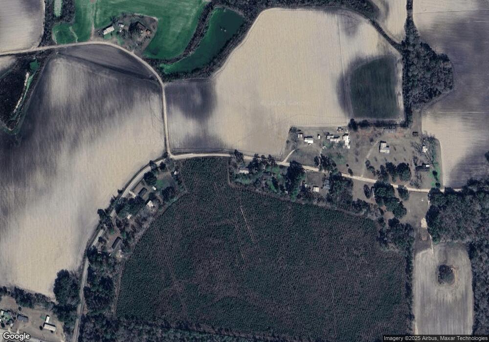
Map
Nearby Homes
- 0 Doc Sutton Rd
- 129 Hoot Owl Ln Unit 1
- 0 Mount Zion Church Rd
- 1398 Adventure Trail
- 21 A Gun Metal Rd
- 1700 Mount Green Rd
- 8708 Cogdell Hwy
- 7291 Grey Hawk Rd
- 74 Pearson St
- 00 Us-441 S
- 0 Grey Hawk Rd
- 110 Shortrun Ln
- 1125 Barn Owl Ln
- 0 Honeysuckle Ln Unit 10623320
- 1379 Hasty Rd
- 1075 Hasty Rd
- 144 Heidi Ln
- 82 Old 122 Hwy E
- 121 Farms Edge Rd
- 00 Farms Edge Rd
- 750 Thomas Davis Rd
- 800 Thomas Davis Rd
- 793 Thomas Davis Rd
- 828 Thomas Davis Rd
- 560 Thomas Davis Rd
- 918 Thomas Davis Rd
- 541 Herman Kight Rd
- 981 Thomas Davis Rd
- 949 Thomas Davis Rd
- 72 Homan Cir
- 315 Thomas Davis Rd
- 88 Homan Cir
- 269 Thomas Davis Rd
- 124 Homan Cir
- 1155 Thomas Davis Rd
- 690 Homan Cir
- 690 Homan Cir
- 599 Homan Cir
- 243 Homan Cir
- 617 Homan Cir
Your Personal Tour Guide
Ask me questions while you tour the home.