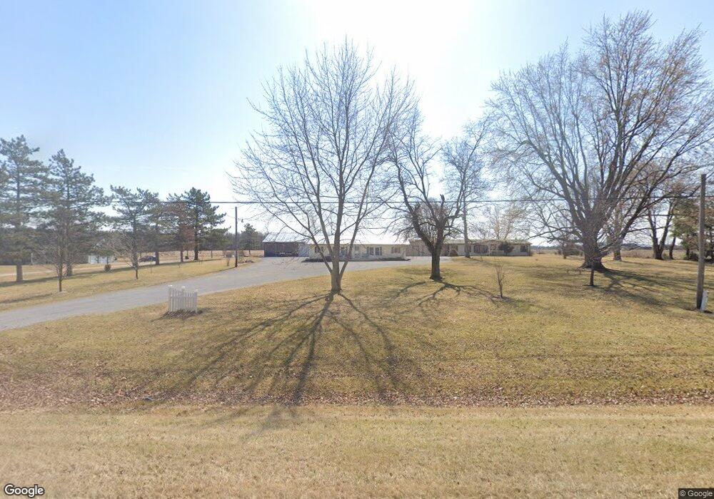
7180 Ada Rd Lafayette, OH 45854
Estimated Value: $222,000 - $418,000
6
Beds
4
Baths
2,868
Sq Ft
$118/Sq Ft
Est. Value
About This Home
This home is located at 7180 Ada Rd, Lafayette, OH 45854 and is currently estimated at $338,822, approximately $118 per square foot. 7180 Ada Rd is a home with nearby schools including Allen East Elementary School, Allen East Middle School, and Allen East High School.
Ownership History
Date
Name
Owned For
Owner Type
Purchase Details
Closed on
Mar 10, 2015
Sold by
Willeke Janet Elaine
Bought by
Braun Tony A and Braun Chandra J
Current Estimated Value
Home Financials for this Owner
Home Financials are based on the most recent Mortgage that was taken out on this home.
Original Mortgage
$59,550
Outstanding Balance
$45,474
Interest Rate
3.6%
Mortgage Type
Future Advance Clause Open End Mortgage
Estimated Equity
$293,348
Purchase Details
Closed on
May 1, 1969
Bought by
Willeke Stephan C
Create a Home Valuation Report for This Property
The Home Valuation Report is an in-depth analysis detailing your home's value as well as a comparison with similar homes in the area
Home Values in the Area
Average Home Value in this Area
Purchase History
| Date | Buyer | Sale Price | Title Company |
|---|---|---|---|
| Braun Tony A | $57,900 | None Available | |
| Willeke Stephan C | $300 | -- |
Source: Public Records
Mortgage History
| Date | Status | Borrower | Loan Amount |
|---|---|---|---|
| Open | Braun Tony A | $59,550 |
Source: Public Records
Tax History Compared to Growth
Tax History
| Year | Tax Paid | Tax Assessment Tax Assessment Total Assessment is a certain percentage of the fair market value that is determined by local assessors to be the total taxable value of land and additions on the property. | Land | Improvement |
|---|---|---|---|---|
| 2024 | $3,773 | $109,310 | $17,780 | $91,530 |
| 2023 | $2,965 | $77,980 | $13,580 | $64,400 |
| 2022 | $3,087 | $80,750 | $13,580 | $67,170 |
| 2021 | $3,088 | $80,750 | $13,580 | $67,170 |
| 2020 | $2,822 | $71,930 | $10,780 | $61,150 |
| 2019 | $2,822 | $71,930 | $10,780 | $61,150 |
| 2018 | $2,819 | $71,930 | $10,780 | $61,150 |
| 2017 | $2,582 | $63,950 | $10,780 | $53,170 |
| 2016 | $2,579 | $63,950 | $10,780 | $53,170 |
| 2015 | $2,190 | $63,950 | $10,780 | $53,170 |
| 2014 | $2,190 | $61,260 | $10,260 | $51,000 |
| 2013 | $2,131 | $61,260 | $10,260 | $51,000 |
Source: Public Records
Map
Nearby Homes
- 647 Fisher Rd
- 118 E Main St
- 663 N Mcclure Rd
- 2327 N Phillips Rd
- 5496 Sandusky Rd
- 000 Phillips Rd
- 000 Napoleon Rd
- 4700 Herr Rd
- 0 N Dixie Hwy Unit 308796
- 0 N Dixie Hwy Unit 300253
- 6476 Mickelson Ln
- 1855 S Cool Rd
- 4619 N Thayer Rd
- 485 S Mumaugh Rd
- 4786 Harding Hwy
- 3805 Cambridge Place
- 211 Pinewood Cir
- 222 Pinewood Cir
- 303 Pinewood Cir
- 304 Pinewood Cir