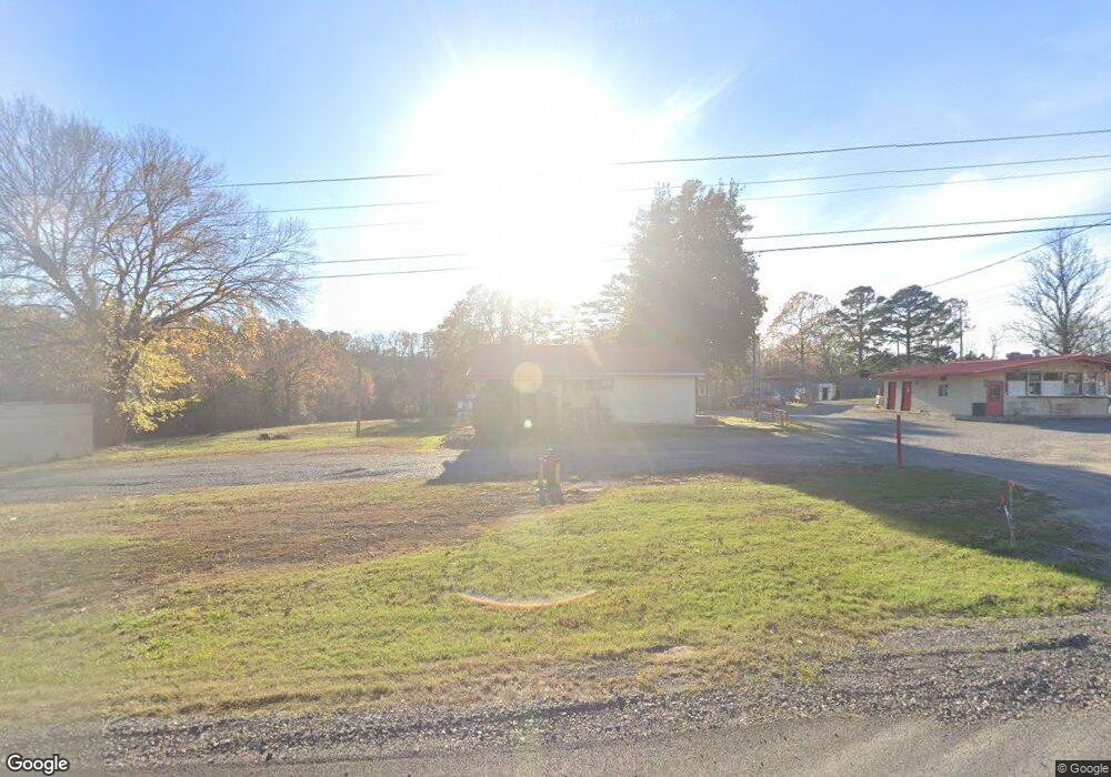
7180 Highway 71 S Wickes, AR 71973
Estimated Value: $259,700
--
Bed
1
Bath
2,460
Sq Ft
$106/Sq Ft
Est. Value
About This Home
This home is located at 7180 Highway 71 S, Wickes, AR 71973 and is currently priced at $259,700, approximately $105 per square foot. 7180 Highway 71 S is a home with nearby schools including Cossatot River Elementary School and Cossatot River High School.
Ownership History
Date
Name
Owned For
Owner Type
Purchase Details
Closed on
Jun 29, 2012
Sold by
Pennington Larry and Pennington Kristin
Bought by
Hardin Joe Lee and Watts Sherry E
Current Estimated Value
Home Financials for this Owner
Home Financials are based on the most recent Mortgage that was taken out on this home.
Original Mortgage
$150,250
Interest Rate
3.8%
Mortgage Type
Future Advance Clause Open End Mortgage
Purchase Details
Closed on
Jan 2, 2002
Bought by
Robinson Robert D and Robinson Bonnie L
Create a Home Valuation Report for This Property
The Home Valuation Report is an in-depth analysis detailing your home's value as well as a comparison with similar homes in the area
Home Values in the Area
Average Home Value in this Area
Purchase History
| Date | Buyer | Sale Price | Title Company |
|---|---|---|---|
| Hardin Joe Lee | -- | None Available | |
| Robinson Robert D | $120,000 | -- |
Source: Public Records
Mortgage History
| Date | Status | Borrower | Loan Amount |
|---|---|---|---|
| Closed | Hardin Joe Lee | $150,250 |
Source: Public Records
Tax History Compared to Growth
Tax History
| Year | Tax Paid | Tax Assessment Tax Assessment Total Assessment is a certain percentage of the fair market value that is determined by local assessors to be the total taxable value of land and additions on the property. | Land | Improvement |
|---|---|---|---|---|
| 2025 | $1,213 | $24,410 | $3,850 | $20,560 |
| 2024 | $1,171 | $24,410 | $3,850 | $20,560 |
| 2023 | $1,081 | $24,410 | $3,850 | $20,560 |
| 2022 | $900 | $18,100 | $2,970 | $15,130 |
| 2021 | $900 | $18,100 | $2,970 | $15,130 |
| 2020 | $921 | $18,100 | $2,970 | $15,130 |
| 2019 | $921 | $18,100 | $2,970 | $15,130 |
| 2018 | $921 | $18,100 | $2,970 | $15,130 |
| 2017 | $1,134 | $22,270 | $3,740 | $18,530 |
| 2016 | $1,052 | $21,340 | $3,740 | $17,600 |
| 2015 | $977 | $21,340 | $3,740 | $17,600 |
| 2014 | $977 | $21,340 | $3,740 | $17,600 |
Source: Public Records
Map
Nearby Homes
- 7498 U S 71
- 104 Polk County Road 269
- 158 Polk Road 8
- TBD Polk County Road 14
- 264 Polk Road 16
- 112 Saddler St
- TBD Weyco Rd
- 140 Polk Road 493
- TBD Polk Road 13
- 0 Polk County Road 426
- 9999 N 3rd St
- TBD Polk Road 19
- 6083 Highway 71 S
- 6067 U S 71
- 0 Port Arthur Ave
- TBD Polk Road 21
- 139 Polk Road 20 W
- 811 Polk Road 21
- 178 Forest Ln
- 163 Polk Road 21
- 7180 U S 71
- 148 Polk Road 13
- 0 Robinson Ln
- 139 Robinson Ln
- 136 Robinson Ln
- 7234 Highway 71 S
- 167 Highway 84
- 7237 Highway 71 S
- 140 Highway 84
- 7066 Highway 71 S
- 168 April Ln
- 258 Polk Road 13
- 115 Sherwood Ln
- 7025 Highway 71 S
- 681 Polk Road 15
- 290 Wolf Den Ln
- 154 Summer Ln
- 293 Polk Road 13
- 129 Lost Ln
- 658 Polk Road 15