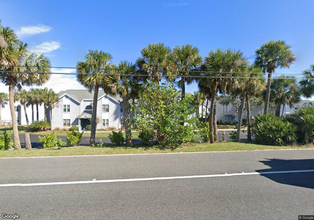
7180 N Hwy 1 Unit 201 Port Saint John, FL 32927
Estimated Value: $239,256 - $263,000
3
Beds
2
Baths
1,186
Sq Ft
$216/Sq Ft
Est. Value
About This Home
This home is located at 7180 N Hwy 1 Unit 201, Port Saint John, FL 32927 and is currently estimated at $255,814, approximately $215 per square foot. 7180 N Hwy 1 Unit 201 is a home located in Brevard County with nearby schools including Atlantis Elementary School, Space Coast Junior/Senior High School, and East Atlantic Prep of Brevard County.
Ownership History
Date
Name
Owned For
Owner Type
Purchase Details
Closed on
Jan 14, 2022
Sold by
Goff William T
Bought by
Anunnake Llc
Current Estimated Value
Purchase Details
Closed on
Dec 4, 2017
Sold by
Reitz Stacey and Reitz Scott
Bought by
Goff William T and Goff Teena K
Home Financials for this Owner
Home Financials are based on the most recent Mortgage that was taken out on this home.
Original Mortgage
$135,000
Interest Rate
3.88%
Mortgage Type
New Conventional
Purchase Details
Closed on
Feb 12, 2003
Sold by
Reitz Stacey and Ninos Stacey
Bought by
Reitz Stacey and Reitz Scott
Home Financials for this Owner
Home Financials are based on the most recent Mortgage that was taken out on this home.
Original Mortgage
$62,800
Interest Rate
5.89%
Mortgage Type
Purchase Money Mortgage
Create a Home Valuation Report for This Property
The Home Valuation Report is an in-depth analysis detailing your home's value as well as a comparison with similar homes in the area
Home Values in the Area
Average Home Value in this Area
Purchase History
| Date | Buyer | Sale Price | Title Company |
|---|---|---|---|
| Anunnake Llc | $245,000 | Dawson Law Pa | |
| Goff William T | $150,000 | Attorney | |
| Reitz Stacey | -- | -- |
Source: Public Records
Mortgage History
| Date | Status | Borrower | Loan Amount |
|---|---|---|---|
| Previous Owner | Goff William T | $135,000 | |
| Previous Owner | Reitz Stacey | $62,800 |
Source: Public Records
Tax History Compared to Growth
Tax History
| Year | Tax Paid | Tax Assessment Tax Assessment Total Assessment is a certain percentage of the fair market value that is determined by local assessors to be the total taxable value of land and additions on the property. | Land | Improvement |
|---|---|---|---|---|
| 2025 | $3,125 | $206,990 | -- | -- |
| 2024 | $3,387 | $213,170 | -- | -- |
| 2023 | $3,387 | $229,330 | $0 | $229,330 |
| 2022 | $2,504 | $198,790 | $0 | $0 |
| 2021 | $2,227 | $143,670 | $0 | $143,670 |
| 2020 | $1,973 | $116,810 | $0 | $116,810 |
| 2019 | $1,908 | $111,560 | $0 | $111,560 |
| 2018 | $1,937 | $110,440 | $0 | $110,440 |
| 2017 | $843 | $73,330 | $0 | $0 |
| 2016 | $854 | $71,830 | $0 | $0 |
| 2015 | $872 | $71,340 | $0 | $0 |
| 2014 | $876 | $70,780 | $0 | $0 |
Source: Public Records
Map
Nearby Homes
- 7240 N Highway 1 Unit 106
- 7170 N Highway 1 Unit 103
- 7210 N Highway 1 Unit 102
- 7060 N Highway 1 Unit AA206
- 7060 N Highway 1 Unit Aa-201
- 7300 N Highway 1 Unit 204
- 7300 N Highway 1 Unit 104
- 7350 N Highway 1 Unit 201
- 7420 U S Route 1 Unit 106
- 7030 N Highway 1 Unit 101
- 7030 N Highway 1 Unit DD102
- 361 Payne Ave
- 7020 U S 1 Unit Ee-202
- 7000 N Highway 1 Unit 104
- 7000 N Highway 1 Unit Gg-205
- 7000 N Highway 1 Unit GG103
- 1029 Illinois Rd
- 7420 N Highway 1 Unit 203
- 7450 N Highway 1 Unit 205
- 7400 N Highway 1 Unit 105
- 7220 N Highway 1 Unit 202
- 7180 N Highway 1 Unit 5
- 7220 N Highway 1 Unit H-4
- 7220 N Highway 1 Unit 203
- 7220 N Highway 1 Unit 201
- 7210 N Highway 1 Unit 101
- 7210 N Highway 1 Unit G-3
- 7220 N Highway 1 Unit B-3
- 7180 N Highway 1
- 7240 N Highway 1
- 7180 N Highway 1 Unit D-7
- 7180 N Highway 1 Unit 202
- 7180 N Highway 1 Unit 203B
- 7170 N Highway 1
- 7210 N Highway 1 Unit 203
- 7180 N Highway 1 Unit D-6 (202)
- 7220 N Highway 1 Unit H7
- 7220 N Highway 1 Unit H6
- 7220 N Highway 1 Unit H3
- 7220 N Highway 1 Unit 102