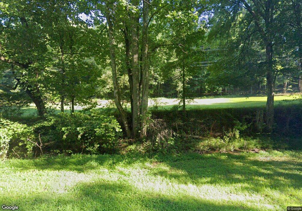
7182 Highway 52 W Dahlonega, GA 30533
Estimated Value: $813,000 - $1,181,227
5
Beds
5
Baths
5,715
Sq Ft
$175/Sq Ft
Est. Value
About This Home
This home is located at 7182 Highway 52 W, Dahlonega, GA 30533 and is currently estimated at $1,002,742, approximately $175 per square foot. 7182 Highway 52 W is a home located in Lumpkin County with nearby schools including Lumpkin County High School.
Ownership History
Date
Name
Owned For
Owner Type
Purchase Details
Closed on
May 12, 2020
Sold by
Barber Cynthia Lynne
Bought by
Barber Robert Alan
Current Estimated Value
Purchase Details
Closed on
Aug 23, 2018
Sold by
Carder Vernon
Bought by
Barber Robert and Barber Cynthia
Home Financials for this Owner
Home Financials are based on the most recent Mortgage that was taken out on this home.
Original Mortgage
$453,100
Interest Rate
4.5%
Mortgage Type
New Conventional
Purchase Details
Closed on
Apr 2, 2018
Sold by
Carder Vernon
Bought by
Hood Charles and Hood Peggy
Purchase Details
Closed on
Oct 15, 1999
Sold by
Carder Ella Grizzle
Bought by
Carder Vernon and Carder Mary
Create a Home Valuation Report for This Property
The Home Valuation Report is an in-depth analysis detailing your home's value as well as a comparison with similar homes in the area
Home Values in the Area
Average Home Value in this Area
Purchase History
| Date | Buyer | Sale Price | Title Company |
|---|---|---|---|
| Barber Robert Alan | -- | -- | |
| Barber Robert | $540,000 | -- | |
| Hood Charles | $12,000 | -- | |
| Carder Vernon | -- | -- |
Source: Public Records
Mortgage History
| Date | Status | Borrower | Loan Amount |
|---|---|---|---|
| Previous Owner | Barber Robert | $453,100 |
Source: Public Records
Tax History Compared to Growth
Tax History
| Year | Tax Paid | Tax Assessment Tax Assessment Total Assessment is a certain percentage of the fair market value that is determined by local assessors to be the total taxable value of land and additions on the property. | Land | Improvement |
|---|---|---|---|---|
| 2024 | $5,858 | $350,708 | $108,972 | $241,736 |
| 2023 | $5,159 | $328,228 | $101,843 | $226,385 |
| 2022 | $4,259 | $239,200 | $76,369 | $162,831 |
| 2021 | $4,398 | $239,200 | $76,369 | $162,831 |
| 2020 | $3,803 | $254,727 | $81,326 | $173,401 |
| 2019 | $3,888 | $254,727 | $81,326 | $173,401 |
| 2018 | $4,473 | $220,678 | $68,586 | $152,092 |
| 2017 | $1,350 | $212,749 | $68,586 | $144,163 |
| 2016 | $879 | $194,482 | $68,586 | $125,896 |
| 2015 | $691 | $194,482 | $68,586 | $125,896 |
| 2014 | $691 | $195,986 | $68,586 | $127,400 |
| 2013 | -- | $197,489 | $68,586 | $128,903 |
Source: Public Records
Map
Nearby Homes
- 1028 Jess Grizzle Rd
- 1776 Nimblewill Gap Rd
- 45 Chester Rd
- 1990 Nimblewill Gap Rd
- 00 Chester Rd
- 0 Nimblewill Creek Rd Unit 7592435
- 0 Nimblewill Creek Rd Unit 10537541
- 0 Nimblewill Creek Rd Unit 10537492
- 0 Nimblewill Creek Rd Unit 7592523
- 2716 Bailey Waters Rd
- 3A Patriot View Dr
- 657 Rock Chimney Ln
- 0 Mill Creek Unit 411255
- 1861 Mill Creek Rd
- 590 Ridge Rd
- 117 Joes Cove
- 604 Sheep Wallow Rd
- 0 Crane Rd Unit 10445403
- 10 Lee Mashburn Rd
- 155 Braeburn Ln
- 7182 Georgia 52
- 0 Nimblewill Church Hwy 52 Rd Unit 7055079
- 0 Nimblewill Church Hwy 52 Rd Unit 7476060
- 7391 Georgia 52
- 7391 Highway 52 W
- 7182 Ga 52 W
- 7182 Ga-52 W
- 7396 Highway 52 W
- 7528 Highway 52 W
- 25 Paul Weaver Rd
- 0 Wesley Chapel Rd
- 0 Wesley Chapel Rd Unit 10298103
- 0 Wesley Chapel Rd Unit 7385280
- 0 Wesley Chapel Rd Unit 7629081
- 230 Paul Weaver Rd
- 152 Paul Weaver Rd
- 0 Paul Weaver Rd Unit 15.73+/- ac 8043767
- 0 Paul Weaver Rd Unit 5726449
- 0 Paul Weaver Rd
- 0 Paul Weaver Rd Unit 7383218
