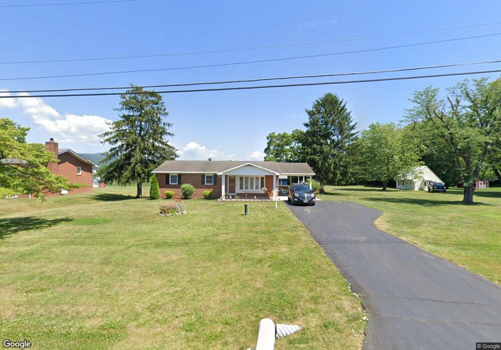
7184 Browns Ln Thurmont, MD 21788
Lewistown NeighborhoodEstimated Value: $288,381 - $399,000
Studio
2
Baths
1,188
Sq Ft
$299/Sq Ft
Est. Value
About This Home
This home is located at 7184 Browns Ln, Thurmont, MD 21788 and is currently estimated at $355,595, approximately $299 per square foot. 7184 Browns Ln is a home located in Frederick County with nearby schools including Lewistown Elementary School, Thurmont Middle School, and Catoctin High School.
Ownership History
Date
Name
Owned For
Owner Type
Purchase Details
Closed on
Feb 4, 1987
Sold by
Court Kevin J and Court Donna M
Bought by
Ochs Albinus W and Ochs Janet K
Current Estimated Value
Home Financials for this Owner
Home Financials are based on the most recent Mortgage that was taken out on this home.
Original Mortgage
$91,759
Interest Rate
9.08%
Create a Home Valuation Report for This Property
The Home Valuation Report is an in-depth analysis detailing your home's value as well as a comparison with similar homes in the area
Home Values in the Area
Average Home Value in this Area
Purchase History
| Date | Buyer | Sale Price | Title Company |
|---|---|---|---|
| Ochs Albinus W | $90,000 | -- |
Source: Public Records
Mortgage History
| Date | Status | Borrower | Loan Amount |
|---|---|---|---|
| Closed | Ochs Albinus W | $91,759 |
Source: Public Records
Tax History
| Year | Tax Paid | Tax Assessment Tax Assessment Total Assessment is a certain percentage of the fair market value that is determined by local assessors to be the total taxable value of land and additions on the property. | Land | Improvement |
|---|---|---|---|---|
| 2025 | $3,113 | $258,700 | $83,300 | $175,400 |
| 2024 | $3,113 | $244,867 | $0 | $0 |
| 2023 | $2,856 | $231,033 | $0 | $0 |
| 2022 | $2,671 | $217,200 | $83,300 | $133,900 |
| 2021 | $2,621 | $214,333 | $0 | $0 |
| 2020 | $2,626 | $211,467 | $0 | $0 |
| 2019 | $2,571 | $208,600 | $83,300 | $125,300 |
| 2018 | $2,445 | $208,600 | $83,300 | $125,300 |
| 2017 | $2,673 | $208,600 | $0 | $0 |
| 2016 | $2,296 | $217,400 | $0 | $0 |
| 2015 | $2,296 | $209,867 | $0 | $0 |
| 2014 | $2,296 | $202,333 | $0 | $0 |
Source: Public Records
Map
Nearby Homes
- 12261 Baugher Rd
- 10637 Powell Rd
- 6529 Mountaindale Rd
- 6802 Ruhland Dr
- 10073 Woodchuck Ln
- 11806 Hunt Club Rd
- 13403 Catoctin Furnace Rd
- 11646 Creagerstown Rd
- 10702 Dublin Rd
- 10731 Dublin Rd
- 6 Sylvia Cir
- 105 Colliery Dr
- 112 Ironmaster Dr
- 6710 Ford Rd
- 9543 Dublin Rd
- 4740 Ford Fields Rd
- 706 E Main St
- 13533 Catoctin Hollow Rd
- 2617 Broadleaf Dr
- 2615 Broadleaf Dr
- 7182 Browns Ln
- 7180 Browns Ln
- 7186 Browns Ln
- 7185 Browns Ln
- 7178 Browns Ln
- 7183 Browns Ln
- 7187 Browns Ln
- 7190 Browns Ln
- 7189 Browns Ln
- 7191 Browns Ln
- 7176 Browns Ln
- 7181 Browns Ln
- 7192 Browns Ln
- 7193 Browns Ln
- 7174 Browns Ln
- 7179 Browns Ln
- 11502 1st St
- 7194 Browns Ln
- 7184 Prospect Dr
- 7186 Prospect Dr
Your Personal Tour Guide
Ask me questions while you tour the home.