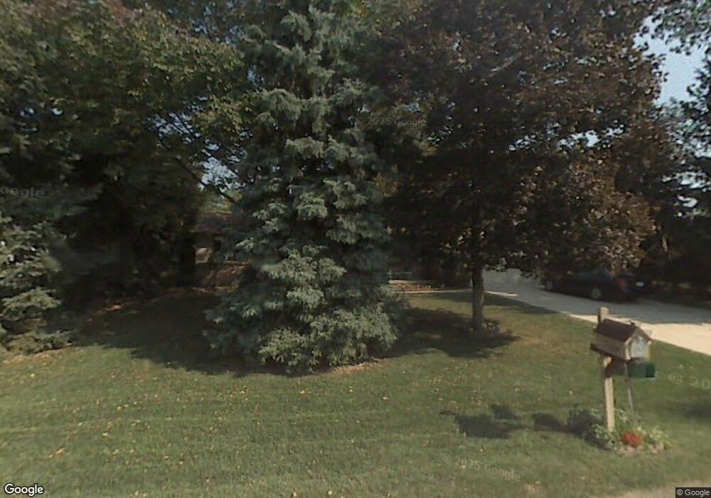
7184 Powlesland Ave Temperance, MI 48182
Estimated Value: $255,492 - $278,000
3
Beds
2
Baths
1,616
Sq Ft
$165/Sq Ft
Est. Value
About This Home
This home is located at 7184 Powlesland Ave, Temperance, MI 48182 and is currently estimated at $266,373, approximately $164 per square foot. 7184 Powlesland Ave is a home located in Monroe County with nearby schools including Douglas Road Elementary School, Bedford Junior High School, and Bedford High School.
Ownership History
Date
Name
Owned For
Owner Type
Purchase Details
Closed on
Mar 15, 2001
Sold by
Post Linda
Bought by
Creque Randy and Bonkowski Vickie
Current Estimated Value
Home Financials for this Owner
Home Financials are based on the most recent Mortgage that was taken out on this home.
Original Mortgage
$50,300
Outstanding Balance
$18,466
Interest Rate
7.13%
Mortgage Type
New Conventional
Estimated Equity
$247,907
Create a Home Valuation Report for This Property
The Home Valuation Report is an in-depth analysis detailing your home's value as well as a comparison with similar homes in the area
Home Values in the Area
Average Home Value in this Area
Purchase History
| Date | Buyer | Sale Price | Title Company |
|---|---|---|---|
| Creque Randy | $140,800 | -- |
Source: Public Records
Mortgage History
| Date | Status | Borrower | Loan Amount |
|---|---|---|---|
| Open | Creque Randy | $50,300 |
Source: Public Records
Tax History Compared to Growth
Tax History
| Year | Tax Paid | Tax Assessment Tax Assessment Total Assessment is a certain percentage of the fair market value that is determined by local assessors to be the total taxable value of land and additions on the property. | Land | Improvement |
|---|---|---|---|---|
| 2025 | $1,688 | $110,100 | $4,900 | $105,200 |
| 2024 | $696 | $103,800 | $0 | $0 |
| 2023 | $663 | $88,600 | $0 | $0 |
| 2022 | $1,565 | $88,600 | $0 | $0 |
| 2021 | $1,496 | $91,000 | $0 | $0 |
| 2020 | $1,402 | $68,400 | $0 | $0 |
| 2019 | $1,387 | $68,400 | $0 | $0 |
| 2018 | $1,252 | $63,400 | $0 | $0 |
| 2017 | $1,190 | $63,400 | $0 | $0 |
| 2016 | $1,177 | $63,300 | $0 | $0 |
| 2015 | $1,558 | $56,500 | $0 | $0 |
| 2014 | $1,558 | $56,500 | $0 | $0 |
| 2013 | $1,370 | $49,000 | $0 | $0 |
Source: Public Records
Map
Nearby Homes
- 7191 Powlesland Ave
- 7214 Powlesland Ave
- 7010 Douglas Rd
- 7350 Elmwood Dr
- 2547 Hasen Dr
- 2863 Wiltshire Dr
- 6858 Yorktown Place
- 6886 Stockport Dr
- 7227 Kenilworth Dr
- 6644 Douglas Rd
- 1944 W Sterns Rd
- 3009 Sterns Rd
- 7241 Hidden Valley Dr
- 7305 Cinden Rd
- 3185 Deer Creek Dr
- 3168 Crystal Ct
- 2807 W Smith
- 3155 Chanson Valley Rd
- 3216 Ravine Hollow Ct
- 3215 Edgevale Dr
- 7210 Powlesland Ave
- 7176 Powlesland Ave
- 7255 Dunbar Rd
- 7251 Dunbar Rd
- 7353 Dunbar Rd
- 7150 Powlesland Ave
- 7175 Powlesland Ave
- 2610 Pinewood Rd
- 0 Dunbar Rd Unit 4169334
- 0 Dunbar Rd Unit 911130
- 7153 Powlesland Ave
- 7213 Powlesland Ave
- 7369 Dunbar Rd
- 7234 Douglas Rd
- 7226 Douglas Rd
- 7230 Douglas Rd
- 7216 Powlesland Ave
- 7354 Dunbar Rd
- 7252 Dunbar Rd
- 7252 Dunbar Ave
