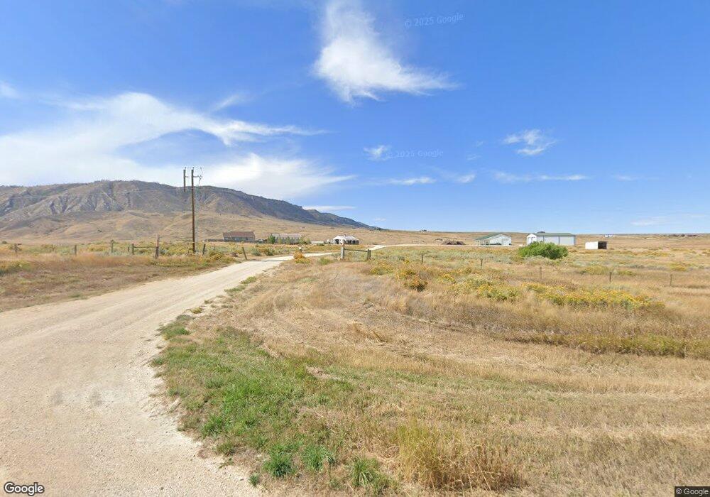
7186 Hat 6 Rd Casper, WY 82609
Estimated Value: $979,000 - $1,490,000
4
Beds
4
Baths
4,384
Sq Ft
$298/Sq Ft
Est. Value
About This Home
This home is located at 7186 Hat 6 Rd, Casper, WY 82609 and is currently estimated at $1,307,166, approximately $298 per square foot. 7186 Hat 6 Rd is a home located in Natrona County.
Ownership History
Date
Name
Owned For
Owner Type
Purchase Details
Closed on
Aug 20, 2024
Sold by
Wesley W Haygood Revocable Trust and Shea E Haygood Revocable Trust
Bought by
Walsh Seth J and Walsh Lindsey N
Current Estimated Value
Purchase Details
Closed on
Jun 26, 2020
Sold by
Haygood Wesley W and Haygood Shea E
Bought by
Haygood Wesley W and Haygood Shea E
Home Financials for this Owner
Home Financials are based on the most recent Mortgage that was taken out on this home.
Original Mortgage
$185,000
Interest Rate
3.2%
Mortgage Type
New Conventional
Purchase Details
Closed on
Jun 14, 2013
Sold by
Holland Michael R and Holland Patricia M
Bought by
Haygood Wesley W and Haygood Shea E
Create a Home Valuation Report for This Property
The Home Valuation Report is an in-depth analysis detailing your home's value as well as a comparison with similar homes in the area
Purchase History
| Date | Buyer | Sale Price | Title Company |
|---|---|---|---|
| Walsh Seth J | -- | American Title Agency | |
| Haygood Wesley W | -- | American Title Agency | |
| Haygood Wesley W | -- | -- |
Source: Public Records
Mortgage History
| Date | Status | Borrower | Loan Amount |
|---|---|---|---|
| Previous Owner | Haygood Wesley W | $185,000 |
Source: Public Records
Tax History
| Year | Tax Paid | Tax Assessment Tax Assessment Total Assessment is a certain percentage of the fair market value that is determined by local assessors to be the total taxable value of land and additions on the property. | Land | Improvement |
|---|---|---|---|---|
| 2025 | $3,067 | $45,913 | $15,186 | $30,727 |
| 2024 | $2,540 | $38,020 | $662 | $37,358 |
| 2023 | $2,492 | $36,706 | $648 | $36,058 |
| 2022 | $1,990 | $29,314 | $621 | $28,693 |
| 2021 | $1,845 | $27,180 | $643 | $26,537 |
| 2020 | $1,849 | $27,230 | $643 | $26,587 |
| 2019 | $2,220 | $32,704 | $646 | $32,058 |
| 2018 | $2,431 | $35,808 | $2,265 | $33,543 |
| 2017 | $2,481 | $36,551 | $2,265 | $34,286 |
| 2015 | $3,930 | $57,883 | $18,123 | $39,760 |
| 2014 | $3,863 | $56,904 | $18,123 | $38,781 |
Source: Public Records
Map
Nearby Homes
- 10850 Clearfork Rd
- 12761 E US Highway 20-26
- 1231 Morado Dr
- 1371 Morado Dr
- 1387 Morado Dr
- 1375 Morado Dr
- 6160 Coronado Dr
- 5309 E 22nd St
- 2793 Croydon Dr
- 0 Azurite Ave
- 4631 E 22nd St
- 5387 Dolomite Cir
- 5111 E 15th St
- 5410 Dolomite Cir
- 5401 Dolomite Cir
- 4521 E 22nd St
- 0 Cornwall St
- 4811 E 16th St
- 4526 E 21st St
- 1120 Cornwall St
Your Personal Tour Guide
Ask me questions while you tour the home.