7188 Walnut Hill Rd Manitou Beach, MI 49253
Estimated Value: $371,000 - $514,822
2
Beds
2
Baths
1,369
Sq Ft
$332/Sq Ft
Est. Value
About This Home
This home is located at 7188 Walnut Hill Rd, Manitou Beach, MI 49253 and is currently estimated at $454,941, approximately $332 per square foot. 7188 Walnut Hill Rd is a home located in Lenawee County with nearby schools including Addison Elementary School, Addison Middle School, and Addison High School.
Ownership History
Date
Name
Owned For
Owner Type
Purchase Details
Closed on
May 28, 2009
Sold by
Pugh John and Pugh Susan
Bought by
Grams Merle and Grams Nicole
Current Estimated Value
Home Financials for this Owner
Home Financials are based on the most recent Mortgage that was taken out on this home.
Original Mortgage
$184,000
Interest Rate
4.83%
Mortgage Type
New Conventional
Purchase Details
Closed on
Jun 27, 2003
Bought by
Grams Merle and Grams Nicole
Create a Home Valuation Report for This Property
The Home Valuation Report is an in-depth analysis detailing your home's value as well as a comparison with similar homes in the area
Home Values in the Area
Average Home Value in this Area
Purchase History
| Date | Buyer | Sale Price | Title Company |
|---|---|---|---|
| Grams Merle | $15,000 | None Available | |
| Grams Merle | $235,500 | -- |
Source: Public Records
Mortgage History
| Date | Status | Borrower | Loan Amount |
|---|---|---|---|
| Previous Owner | Grams Merle | $184,000 | |
| Previous Owner | Grams Merle | $11,500 |
Source: Public Records
Tax History Compared to Growth
Tax History
| Year | Tax Paid | Tax Assessment Tax Assessment Total Assessment is a certain percentage of the fair market value that is determined by local assessors to be the total taxable value of land and additions on the property. | Land | Improvement |
|---|---|---|---|---|
| 2025 | $8,110 | $217,200 | $0 | $0 |
| 2024 | $1,890 | $207,600 | $0 | $0 |
| 2023 | -- | $183,800 | $0 | $0 |
| 2022 | $6,593 | $163,400 | $0 | $0 |
| 2021 | $6,357 | $151,400 | $0 | $0 |
| 2020 | $6,292 | $143,600 | $0 | $0 |
| 2019 | $401,440 | $143,600 | $0 | $0 |
| 2018 | $6,301 | $64,875 | $0 | $0 |
| 2017 | $6,104 | $65,442 | $0 | $0 |
| 2016 | $5,889 | $64,507 | $0 | $0 |
| 2014 | -- | $36,067 | $0 | $0 |
Source: Public Records
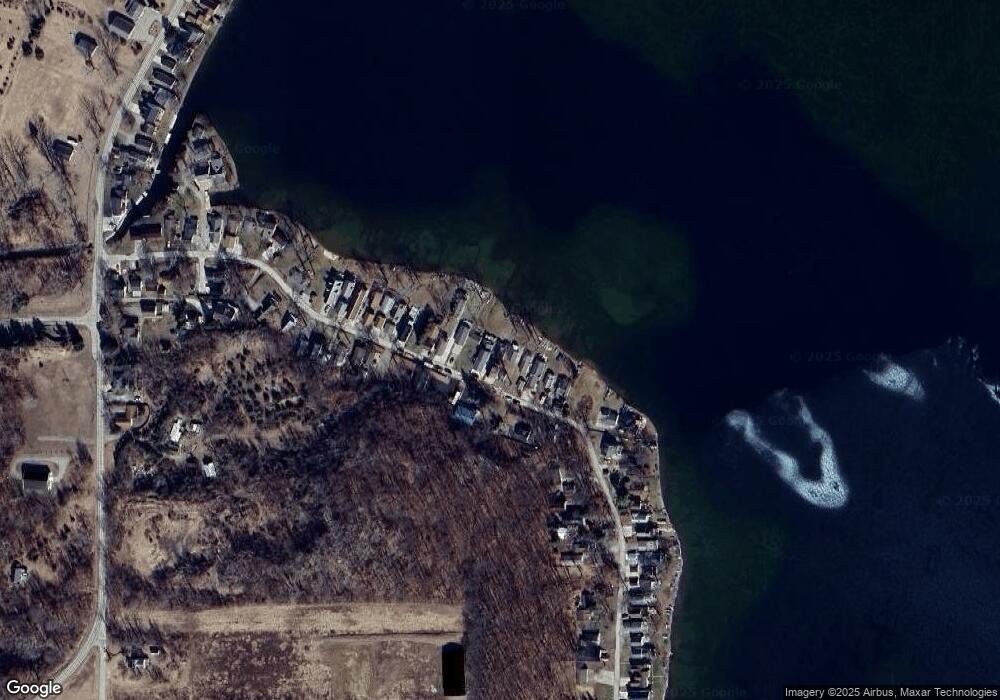
Map
Nearby Homes
- 7841 Devils Lake Hwy
- Unit 3 Hollyhock Dr
- Unit 2 Hollyhock Dr
- 6820 Devils Lake Hwy
- 6797 Devils Lake Hwy
- 6000 Devils Lake Hwy
- 6103 Highland Ave
- 6360 Winter Rd
- 5879 Tower Ave
- 5935 Tower Dr
- V/L Round Lake Hwy
- 15858 Lelah Ln
- 4547 Round Lake Hwy
- 8000 Parkhurst Hwy Unit Carroll Dr ((1175)
- 10911 Devils Lake Hwy
- 9265 Devils Lake Hwy
- 16424 N Rollin Hwy
- 9304 Parkhurst Hwy
- 8676 Cherry Point Dr
- 9254 Cherry Point Rd
- 7194 Walnut Hill Rd
- 7182 Walnut Hill Rd
- 7176 Walnut Hill Rd
- 12693 Walnut Hill Rd
- 7160 Walnut Hill Rd
- 7168 Walnut Hill Rd
- 7200 Walnut Hill Rd
- 7150 Walnut Hill Rd
- 7208 Walnut Hill Rd
- 7216 Walnut Hill Rd
- 7211 Walnut Hill Rd
- 7155 Lakeside Dr
- 7227 Walnut Hill Rd
- 7155 Walnut Hill Rd
- 7142 Walnut Hill Rd
- 7236 Walnut Hill Rd
- 7242 Walnut Hill Rd
- 7134 Walnut Hill Rd
- 7258 Walnut Hill Rd
- 7126 Walnut Hill Rd