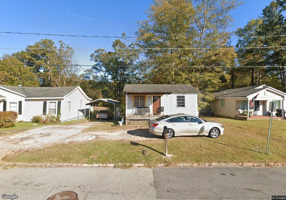
719 1/2 Glenn Robertson Dr Lagrange, GA 30241
Estimated Value: $62,812 - $101,000
2
Beds
1
Bath
520
Sq Ft
$165/Sq Ft
Est. Value
About This Home
This home is located at 719 1/2 Glenn Robertson Dr, Lagrange, GA 30241 and is currently estimated at $85,703, approximately $164 per square foot. 719 1/2 Glenn Robertson Dr is a home with nearby schools including Hollis Hand Elementary School, Franklin Forest Elementary School, and Ethel W. Kight Elementary School.
Ownership History
Date
Name
Owned For
Owner Type
Purchase Details
Closed on
Apr 7, 1999
Sold by
Hooks Larry
Bought by
Annette Boddie
Current Estimated Value
Purchase Details
Closed on
Sep 25, 1996
Sold by
Gertrude Hooks
Bought by
Hooks Larry
Purchase Details
Closed on
Jun 9, 1977
Sold by
Pitt Annie Pearl
Bought by
Gertrude Hooks
Purchase Details
Closed on
Sep 13, 1976
Sold by
Burston Susie Mae
Bought by
Pitt Annie Pearl
Purchase Details
Closed on
Jan 1, 1972
Sold by
Burston James
Bought by
Burston Susie Mae
Purchase Details
Closed on
Oct 1, 1949
Sold by
Kinard Leon
Bought by
Burston James
Create a Home Valuation Report for This Property
The Home Valuation Report is an in-depth analysis detailing your home's value as well as a comparison with similar homes in the area
Home Values in the Area
Average Home Value in this Area
Purchase History
| Date | Buyer | Sale Price | Title Company |
|---|---|---|---|
| Annette Boddie | $6,500 | -- | |
| Hooks Larry | -- | -- | |
| Gertrude Hooks | -- | -- | |
| Pitt Annie Pearl | -- | -- | |
| Burston Susie Mae | -- | -- | |
| Burston James | -- | -- |
Source: Public Records
Tax History Compared to Growth
Tax History
| Year | Tax Paid | Tax Assessment Tax Assessment Total Assessment is a certain percentage of the fair market value that is determined by local assessors to be the total taxable value of land and additions on the property. | Land | Improvement |
|---|---|---|---|---|
| 2024 | $363 | $13,300 | $2,480 | $10,820 |
| 2023 | $1 | $8,500 | $2,480 | $6,020 |
| 2022 | $172 | $8,140 | $2,480 | $5,660 |
| 2021 | $155 | $7,120 | $2,480 | $4,640 |
| 2020 | $155 | $7,120 | $2,480 | $4,640 |
| 2019 | $142 | $6,700 | $2,500 | $4,200 |
| 2018 | $142 | $6,700 | $2,500 | $4,200 |
| 2017 | $142 | $6,700 | $2,500 | $4,200 |
| 2016 | $139 | $6,607 | $2,500 | $4,107 |
| 2015 | $140 | $6,607 | $2,500 | $4,107 |
| 2014 | $134 | $6,391 | $2,500 | $3,891 |
| 2013 | -- | $6,628 | $2,500 | $4,128 |
Source: Public Records
Map
Nearby Homes
- 626 Smoot St
- 510 Smoot St
- 0 Kelley St Unit 10550311
- 957 Kelley St
- LOT 4 Borton St
- LOT 3 Borton St
- LOT 5 Borton St
- LOT 6 Borton St
- 1017 Mason St
- 0 Brown St Unit 10550761
- 0 Brown St Unit 10550754
- 311 Colquitt St
- 200 Mccall St
- 203 Revis St
- 205 Revis St
- 0 Burr St
- 306 Burr St
- 0 E Fendig St
- 113 E Fendig St
- 913 Arizona St Unit A AND B
- 719 Glenn Robertson Dr
- 721 Glenn Robertson Dr
- 717 Glenn Robertson Dr
- 723 Glenn Robertson Dr
- 713 Glenn Robertson Dr
- 711 Glenn Robertson Dr
- 709 Glenn Robertson Dr
- 904 Kelley St
- 912 Kelley St Unit 12
- 912 Kelley St
- 701 Glenn Robertson Dr
- 906 Kelley St
- 910 Kelley St
- 908 Kelley St
- 738 Matthews St
- 901 Kelley St
- 736 Matthews St
- 736 Matthews St Unit A
- 903 Kelley St
- 609 Glenn Robertson Dr