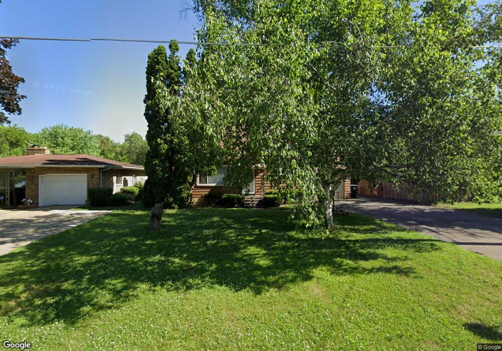
719 Algonquin Ave Flint, MI 48507
Circle Neighborhood NeighborhoodEstimated Value: $99,000 - $134,000
3
Beds
2
Baths
1,092
Sq Ft
$106/Sq Ft
Est. Value
About This Home
This home is located at 719 Algonquin Ave, Flint, MI 48507 and is currently estimated at $115,259, approximately $105 per square foot. 719 Algonquin Ave is a home located in Genesee County with nearby schools including Freeman Elementary School, Flint Southwestern Classical Academy, and Burton Glen Charter Academy.
Ownership History
Date
Name
Owned For
Owner Type
Purchase Details
Closed on
Dec 22, 2009
Sold by
Allen Patricia L
Bought by
Allen Patricia L and Halkoski Kenneth J
Current Estimated Value
Purchase Details
Closed on
Feb 11, 2009
Sold by
Chase Home Finance Llc
Bought by
Federal National Mortgage Association
Purchase Details
Closed on
Feb 4, 2009
Sold by
Diebel Susan M
Bought by
Chase Home Finance Llc
Create a Home Valuation Report for This Property
The Home Valuation Report is an in-depth analysis detailing your home's value as well as a comparison with similar homes in the area
Home Values in the Area
Average Home Value in this Area
Purchase History
| Date | Buyer | Sale Price | Title Company |
|---|---|---|---|
| Allen Patricia L | -- | None Available | |
| Federal National Mortgage Association | -- | None Available | |
| Chase Home Finance Llc | $60,018 | None Available |
Source: Public Records
Tax History
| Year | Tax Paid | Tax Assessment Tax Assessment Total Assessment is a certain percentage of the fair market value that is determined by local assessors to be the total taxable value of land and additions on the property. | Land | Improvement |
|---|---|---|---|---|
| 2025 | $1,425 | $48,800 | $0 | $0 |
| 2024 | $1,276 | $43,800 | $0 | $0 |
| 2023 | $1,244 | $34,900 | $0 | $0 |
| 2022 | $0 | $29,800 | $0 | $0 |
| 2021 | $1,304 | $28,500 | $0 | $0 |
| 2020 | $1,160 | $22,400 | $0 | $0 |
| 2019 | $1,121 | $18,500 | $0 | $0 |
| 2018 | $1,192 | $18,800 | $0 | $0 |
| 2017 | $1,217 | $0 | $0 | $0 |
| 2016 | $1,208 | $0 | $0 | $0 |
| 2015 | -- | $0 | $0 | $0 |
| 2014 | -- | $0 | $0 | $0 |
| 2012 | -- | $26,400 | $0 | $0 |
Source: Public Records
Map
Nearby Homes
- 720 Algonquin Ave
- 3505 Comanche Ave
- 630 Buckingham Ave
- 621 Burroughs Ave
- 3110 Menominee Ave
- 2910 Shawnee Ave
- 4126 Circle Dr
- 420 Burroughs Ave
- 3009 Menominee Ave
- 366 E Atherton Rd
- 4127 Custer Ave
- 352 Buckingham Ave
- 617 McKeighan Ave
- 3056 Shaw St
- 326 Burroughs Ave
- 4424 Cheyenne Ave
- 530 McKeighan Ave
- 1030 McKeighan Ave
- 3914 Red Arrow Rd
- 3193 Myrton St
- 3514 Dearborn Ave
- 3506 Dearborn Ave
- 723 Algonquin Ave
- 709 Algonquin Ave
- 3502 Dearborn Ave
- 707 Algonquin Ave
- 3414 Dearborn Ave
- 3417 Circle Dr
- 3602 Dearborn Ave
- 3401 Circle Dr
- 703 Algonquin Ave
- 817 Algonquin Ave
- 716 Algonquin Ave
- 3501 Circle Dr
- 3410 Dearborn Ave
- 3503 Dearborn Ave
- 3513 Dearborn Ave
- 710 Algonquin Ave
- 3501 Dearborn Ave
- 3509 Circle Dr
Your Personal Tour Guide
Ask me questions while you tour the home.