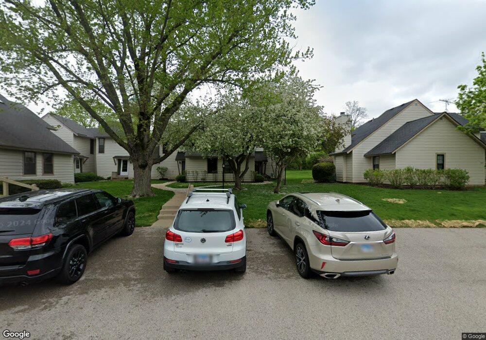
719 Colby Ct Unit 65 Gurnee, IL 60031
Estimated Value: $197,000 - $235,000
2
Beds
2
Baths
1,364
Sq Ft
$164/Sq Ft
Est. Value
About This Home
This home is located at 719 Colby Ct Unit 65, Gurnee, IL 60031 and is currently estimated at $223,209, approximately $163 per square foot. 719 Colby Ct Unit 65 is a home located in Lake County with nearby schools including Woodland Primary School, Woodland Elementary School, and Woodland Intermediate School.
Ownership History
Date
Name
Owned For
Owner Type
Purchase Details
Closed on
Mar 24, 2019
Sold by
Phillips Gary and Phillips Randee
Bought by
Rg Chandler 1 Llc
Current Estimated Value
Purchase Details
Closed on
Sep 6, 2018
Sold by
U S Bank Trust Na
Bought by
Phillips Gary and Phillips Randee
Purchase Details
Closed on
May 17, 2018
Sold by
Bersie Susan
Bought by
U S Bank Trust Na and Lsf10 Master Participation Trust
Purchase Details
Closed on
Aug 18, 2006
Sold by
Hickory Street Investments Inc
Bought by
Bersie Susan
Home Financials for this Owner
Home Financials are based on the most recent Mortgage that was taken out on this home.
Original Mortgage
$132,000
Interest Rate
10%
Mortgage Type
Unknown
Create a Home Valuation Report for This Property
The Home Valuation Report is an in-depth analysis detailing your home's value as well as a comparison with similar homes in the area
Home Values in the Area
Average Home Value in this Area
Purchase History
| Date | Buyer | Sale Price | Title Company |
|---|---|---|---|
| Rg Chandler 1 Llc | -- | Attorney | |
| Phillips Gary | $107,000 | Premier Title | |
| U S Bank Trust Na | -- | Attorney | |
| Bersie Susan | -- | Tristar Title Llc |
Source: Public Records
Mortgage History
| Date | Status | Borrower | Loan Amount |
|---|---|---|---|
| Previous Owner | Bersie Susan | $132,000 |
Source: Public Records
Tax History Compared to Growth
Tax History
| Year | Tax Paid | Tax Assessment Tax Assessment Total Assessment is a certain percentage of the fair market value that is determined by local assessors to be the total taxable value of land and additions on the property. | Land | Improvement |
|---|---|---|---|---|
| 2024 | $5,317 | $58,271 | $8,185 | $50,086 |
| 2023 | $4,803 | $54,100 | $7,599 | $46,501 |
| 2022 | $4,803 | $49,274 | $5,929 | $43,345 |
| 2021 | $4,105 | $44,620 | $5,369 | $39,251 |
| 2020 | $3,978 | $43,523 | $5,237 | $38,286 |
| 2019 | $3,868 | $42,259 | $5,085 | $37,174 |
| 2018 | $2,981 | $32,917 | $2,652 | $30,265 |
| 2017 | $2,951 | $31,974 | $2,576 | $29,398 |
| 2016 | $2,936 | $30,550 | $2,461 | $28,089 |
| 2015 | $2,870 | $28,974 | $2,334 | $26,640 |
| 2014 | $2,684 | $27,304 | $2,303 | $25,001 |
| 2012 | $2,657 | $27,513 | $2,321 | $25,192 |
Source: Public Records
Map
Nearby Homes
- 741 Colby Ct Unit U42
- 651 White Ct
- 690 Chandler Rd Unit 207
- 690 Chandler Rd Unit 305
- 776 Chandler Rd
- 638 Dordan Ct
- 711 Creekside Cir Unit 103
- 600 Creekside Cir Unit 85
- 6121 Brookstone Place
- 917 Vose Dr Unit 304
- 640 Wilbur Ct
- 920 Vose Dr Unit 304
- 920 Vose Dr Unit 106
- 920 Vose Dr Unit 105
- 6141 Crossland Blvd
- 914 Vose Dr
- 6161 Oakmont Ln
- 6191 Oakmont Ln
- 6296 Doral Dr
- 6359 Doral Dr
- 719 Colby Ct
- 717 Colby Ct Unit U66
- 721 Colby Ct Unit U60
- 715 Colby Ct Unit U67
- 723 Colby Ct Unit U59
- 713 Colby Ct Unit U68
- 713 Colby Ct Unit 713
- 711 Colby Ct Unit 69
- 709 Colby Ct
- 725 Colby Ct Unit U58
- 727 Colby Ct Unit U57
- 720 Drury Ct Unit U56
- 707 Colby Ct Unit U77
- 724 Drury Ct
- 705 Colby Ct Unit U78
- 722 Drury Ct Unit U55
- 729 Colby Ct
- 700 Colby Ct Unit U76
- 731 Colby Ct Unit U47
- 728 Drury Ct