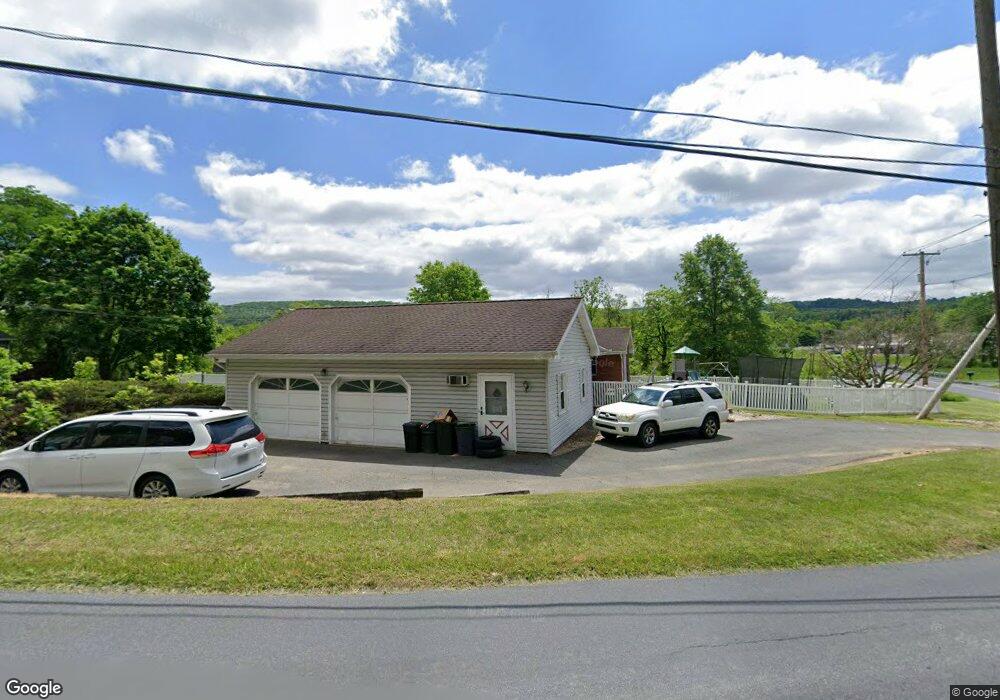
719 Franklin St Alburtis, PA 18011
Lower Macungie Township West NeighborhoodEstimated Value: $346,111 - $429,000
3
Beds
1
Bath
1,857
Sq Ft
$212/Sq Ft
Est. Value
About This Home
This home is located at 719 Franklin St, Alburtis, PA 18011 and is currently estimated at $394,278, approximately $212 per square foot. 719 Franklin St is a home located in Lehigh County with nearby schools including Alburtis Elementary School, Lower Macungie Middle School, and Emmaus High School.
Ownership History
Date
Name
Owned For
Owner Type
Purchase Details
Closed on
Jun 10, 2015
Sold by
Barnhart Edwin Carl
Bought by
Cobb Susan J
Current Estimated Value
Purchase Details
Closed on
Jan 18, 2015
Sold by
Cobb Justin Ray
Bought by
Dean Gretchen
Purchase Details
Closed on
Sep 6, 1956
Bought by
Reichert Ernest A and Reichert Dorine F
Create a Home Valuation Report for This Property
The Home Valuation Report is an in-depth analysis detailing your home's value as well as a comparison with similar homes in the area
Home Values in the Area
Average Home Value in this Area
Purchase History
| Date | Buyer | Sale Price | Title Company |
|---|---|---|---|
| Cobb Susan J | -- | None Available | |
| Dean Gretchen | -- | Attorney | |
| Reichert Ernest A | $100 | -- |
Source: Public Records
Tax History Compared to Growth
Tax History
| Year | Tax Paid | Tax Assessment Tax Assessment Total Assessment is a certain percentage of the fair market value that is determined by local assessors to be the total taxable value of land and additions on the property. | Land | Improvement |
|---|---|---|---|---|
| 2025 | $6,066 | $206,600 | $35,400 | $171,200 |
| 2024 | $5,911 | $206,600 | $35,400 | $171,200 |
| 2023 | $5,637 | $206,600 | $35,400 | $171,200 |
| 2022 | $5,519 | $206,600 | $171,200 | $35,400 |
| 2021 | $5,415 | $206,600 | $35,400 | $171,200 |
| 2020 | $5,370 | $206,600 | $35,400 | $171,200 |
| 2019 | $5,341 | $206,600 | $35,400 | $171,200 |
| 2018 | $5,280 | $206,600 | $35,400 | $171,200 |
| 2017 | $5,200 | $206,600 | $35,400 | $171,200 |
| 2016 | -- | $206,600 | $35,400 | $171,200 |
| 2015 | -- | $206,600 | $35,400 | $171,200 |
| 2014 | -- | $206,600 | $35,400 | $171,200 |
Source: Public Records
Map
Nearby Homes
- 428 Thomas St
- 317 Lockridge Ln
- 121 S Main St Unit 123
- 241 Flint Hill Rd
- 3371 Mathews Ln
- 354 W 2nd St
- 31 Barbara Dr
- 1108 S Barbara Dr
- 0 Clauss Hunt Knight Dr Unit 10 Units 763578
- 6903 Lincoln Dr
- 6709 Mountain Rd
- 7318 Sauerkraut Ln Unit E
- 7230 Pioneer Dr
- 0 Mountain Lot 1
- 8312 Mertztown Rd
- 6875 Pioneer Dr
- 4759 Sheep Rock Rd
- 6405 Robin Rd
- 167 Aspen Ln
- 8975 Mertztown Rd
- 691 Franklin St
- 720 Franklin St
- 688 Franklin St
- 728 Franklin St
- 673 Franklin St
- 666 Franklin St
- 660 Franklin St
- 665 Franklin St
- 630 Franklin St
- 686 Franklin St
- 3797 Chestnut Rd
- 626 Franklin St
- 3805 Chestnut Rd
- 655 Franklin St
- 31 W 5th St
- 3819 Chestnut Rd
- 750 Franklin St
- 35 W 5th St
- 3806 Chestnut Rd
- 37 W 5th St