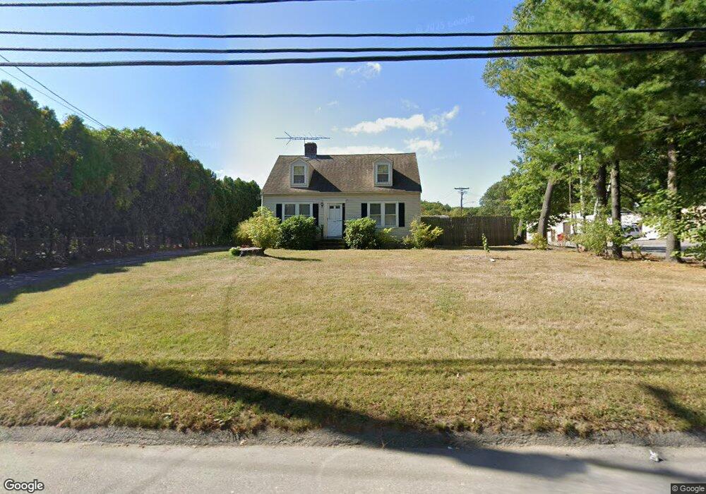
719 Lancaster St Leominster, MA 01453
Estimated Value: $400,000 - $466,844
3
Beds
1
Bath
1,248
Sq Ft
$346/Sq Ft
Est. Value
About This Home
This home is located at 719 Lancaster St, Leominster, MA 01453 and is currently estimated at $431,461, approximately $345 per square foot. 719 Lancaster St is a home located in Worcester County with nearby schools including Leominster High School, St. Anna Catholic School, and St. Leo School.
Ownership History
Date
Name
Owned For
Owner Type
Purchase Details
Closed on
Nov 14, 2018
Sold by
Gamble Kevin C and Lemmo Kathleen A
Bought by
727 Lancaster Street R
Current Estimated Value
Home Financials for this Owner
Home Financials are based on the most recent Mortgage that was taken out on this home.
Original Mortgage
$225,000
Outstanding Balance
$197,438
Interest Rate
4.7%
Mortgage Type
New Conventional
Estimated Equity
$234,023
Purchase Details
Closed on
Sep 14, 2006
Sold by
Gamble Malvina T
Bought by
Lemmo Kathleen A and Gamble Kevin C
Create a Home Valuation Report for This Property
The Home Valuation Report is an in-depth analysis detailing your home's value as well as a comparison with similar homes in the area
Home Values in the Area
Average Home Value in this Area
Purchase History
| Date | Buyer | Sale Price | Title Company |
|---|---|---|---|
| 727 Lancaster Street R | $220,000 | -- | |
| Lemmo Kathleen A | -- | -- |
Source: Public Records
Mortgage History
| Date | Status | Borrower | Loan Amount |
|---|---|---|---|
| Open | 727 Lancaster Street R | $225,000 |
Source: Public Records
Tax History Compared to Growth
Tax History
| Year | Tax Paid | Tax Assessment Tax Assessment Total Assessment is a certain percentage of the fair market value that is determined by local assessors to be the total taxable value of land and additions on the property. | Land | Improvement |
|---|---|---|---|---|
| 2025 | $5,529 | $394,100 | $174,000 | $220,100 |
| 2024 | $5,322 | $366,800 | $165,500 | $201,300 |
| 2023 | $5,030 | $323,700 | $144,000 | $179,700 |
| 2022 | $4,753 | $287,000 | $125,000 | $162,000 |
| 2021 | $4,395 | $242,400 | $97,000 | $145,400 |
| 2020 | $4,042 | $224,800 | $97,000 | $127,800 |
| 2019 | $3,704 | $199,800 | $78,300 | $121,500 |
| 2018 | $3,648 | $188,700 | $76,000 | $112,700 |
| 2017 | $3,429 | $173,800 | $71,100 | $102,700 |
| 2016 | $3,329 | $170,000 | $71,100 | $98,900 |
| 2015 | $3,256 | $167,500 | $71,100 | $96,400 |
| 2014 | $2,885 | $152,700 | $74,700 | $78,000 |
Source: Public Records
Map
Nearby Homes
- 851 Lancaster St
- 740 Central St Unit R24
- 740 Central St Unit L22
- 498 Lancaster St
- 30 Abbey Rd Unit 207
- 10 Abbey Rd Unit 108
- 30 Abbey Rd Unit 202
- 36 Meadow Pond Dr Unit I
- 6 Longwood Ave
- 213 Bayberry Hill Ln
- 64 Sycamore Dr
- 197 Chapman Place Unit 197
- 556 Central St Unit 43
- 556 Central St Unit 39
- 177 Chapman Place
- 91 Berrington Rd Unit 91
- 97 Berrington Rd Unit 97
- 93 Chapman Place Unit 93
- 17 1st Ave
- 12 Drummer Ln
- 712 Lancaster St
- 706 Lancaster St
- 706 Lancaster St Unit 2
- 707 Lancaster St Unit 709
- 727 Lancaster St
- 695 Lancaster St
- 720 Lancaster St
- 734 Lancaster St
- 7 Damon St
- 35 Reed St
- 691 Lancaster St
- 28 Sage St
- 7 Reed St
- 748 Lancaster St
- 40 Sage St
- 686 Lancaster St
- 18 Reed St
- 8 Reed St
- 679 Lancaster St
- 679 Lancaster St Unit 1