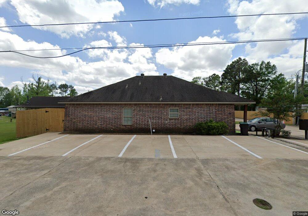
719 Landry Rd Westlake, LA 70669
Estimated Value: $532,000 - $634,329
--
Bed
--
Bath
--
Sq Ft
0.87
Acres
About This Home
This home is located at 719 Landry Rd, Westlake, LA 70669 and is currently estimated at $592,110. 719 Landry Rd is a home located in Calcasieu Parish with nearby schools including Westwood Elementary School, Western Heights Elementary School, and S.P. Arnett Middle School.
Ownership History
Date
Name
Owned For
Owner Type
Purchase Details
Closed on
Nov 16, 2007
Sold by
Demary Delafield Joseph Anthony and Demary Delafield Brenda
Bought by
T & M Development & Properties Llc
Current Estimated Value
Home Financials for this Owner
Home Financials are based on the most recent Mortgage that was taken out on this home.
Original Mortgage
$17,600
Interest Rate
4.91%
Mortgage Type
Purchase Money Mortgage
Purchase Details
Closed on
Aug 29, 2007
Sold by
Aguillard Dave Farrell and Aguillard Marion Havard
Bought by
Demary Delafield Joseph Anthony and Demary Delafield Brenda
Create a Home Valuation Report for This Property
The Home Valuation Report is an in-depth analysis detailing your home's value as well as a comparison with similar homes in the area
Home Values in the Area
Average Home Value in this Area
Purchase History
| Date | Buyer | Sale Price | Title Company |
|---|---|---|---|
| T & M Development & Properties Llc | $22,000 | None Available | |
| Demary Delafield Joseph Anthony | $22,000 | None Available |
Source: Public Records
Mortgage History
| Date | Status | Borrower | Loan Amount |
|---|---|---|---|
| Previous Owner | T & M Development & Properties Llc | $17,600 |
Source: Public Records
Tax History Compared to Growth
Tax History
| Year | Tax Paid | Tax Assessment Tax Assessment Total Assessment is a certain percentage of the fair market value that is determined by local assessors to be the total taxable value of land and additions on the property. | Land | Improvement |
|---|---|---|---|---|
| 2024 | $6,110 | $55,660 | $2,160 | $53,500 |
| 2023 | $6,110 | $55,660 | $2,160 | $53,500 |
| 2022 | $6,253 | $55,660 | $2,160 | $53,500 |
| 2021 | $6,100 | $55,660 | $2,160 | $53,500 |
| 2020 | $5,608 | $50,220 | $2,070 | $48,150 |
| 2019 | $6,414 | $55,500 | $2,000 | $53,500 |
| 2018 | $5,943 | $55,500 | $2,000 | $53,500 |
| 2017 | $6,121 | $55,500 | $2,000 | $53,500 |
| 2016 | $6,077 | $55,500 | $2,000 | $53,500 |
| 2015 | $6,207 | $55,500 | $2,000 | $53,500 |
Source: Public Records
Map
Nearby Homes
- 2526 Cox Rd
- 2524 Cox Rd
- 590 Landry Rd
- 600 W Wayside Dr
- 2518 Donnelly Rd
- 2525 Davis Rd
- 615 Hudson Dr
- 109 W Wayside Dr
- 1512 Fairway Dr
- 0 W Wayside Dr Unit SWL25001592
- 0 Westwood Rd
- 618 John Stine Rd
- 1622 Reserve Dr
- 0 Hogans Alley Unit 134209
- 0 Hogans Alley Unit 134232
- 0 Hogans Alley Unit 134230
- 0 Hogans Alley Unit SWL25101642
- 0 Hogans Alley Unit 134212
- 0 Hogans Alley Unit 134210
- 0 Hogans Alley Unit 134229