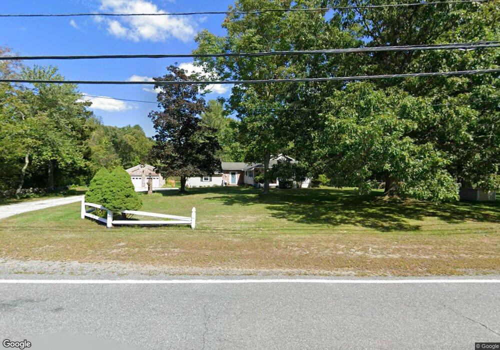
719 Main St Dunstable, MA 01827
Estimated Value: $499,845 - $602,000
About This Home
This home is located at 719 Main St, Dunstable, MA 01827 and is currently estimated at $559,711, approximately $484 per square foot. 719 Main St is a home located in Middlesex County with nearby schools including Groton Dunstable Regional High School and 2nd Nature Academy.
Ownership History
We collect this data history from publicly available records. To have your information removed, we recommend requesting removal directly through your county’s website.
Purchase Details
Purchase Details
Purchase Details
Home Values in the Area
Average Home Value in this Area
Purchase History
We collect this data history from publicly available records. To have your information removed, we recommend requesting removal directly through your county’s website.
| Date | Buyer | Sale Price | Title Company |
|---|---|---|---|
| -- | -- | ||
| -- | -- | ||
| $116,500 | -- |
Mortgage History
We collect this data history from publicly available records. To have your information removed, we recommend requesting removal directly through your county’s website.
| Date | Status | Borrower | Loan Amount |
|---|---|---|---|
| Previous Owner | $81,000 |
Tax History
We collect this data history from publicly available records. To have your information removed, we recommend requesting removal directly through your county’s website.
| Year | Tax Paid | Tax Assessment Tax Assessment Total Assessment is a certain percentage of the fair market value that is determined by local assessors to be the total taxable value of land and additions on the property. | Land | Improvement |
|---|---|---|---|---|
| 2025 | $6,241 | $453,900 | $225,800 | $228,100 |
| 2024 | $5,961 | $427,000 | $206,400 | $220,600 |
| 2023 | $6,168 | $412,000 | $206,400 | $205,600 |
| 2022 | $5,931 | $388,900 | $206,400 | $182,500 |
| 2021 | $14,274 | $326,700 | $188,600 | $138,100 |
| 2020 | $5,407 | $321,100 | $188,600 | $132,500 |
| 2019 | $5,478 | $321,100 | $188,600 | $132,500 |
| 2018 | $13,211 | $311,300 | $187,000 | $124,300 |
| 2017 | $5,249 | $308,400 | $187,000 | $121,400 |
| 2016 | $4,958 | $299,600 | $178,800 | $120,800 |
| 2015 | $4,574 | $273,400 | $151,100 | $122,300 |
| 2014 | $4,312 | $273,400 | $151,100 | $122,300 |
Map
- 54 Depot St
- 4 Swallow Ln
- 107 Mill St
- 69 Hall St
- 473 High St
- 153 Off Pond St
- 80 Cherry Hollow Rd Unit U116
- 67 Cherry Hollow Rd Unit U110
- 12 Massapoag Way
- 23 Goldfinch Ln Unit U89
- 0 Lowell St
- 30 Ridge Rd
- 38 Green Heron Ln Unit U81
- 1 Doucet Ave
- 4 Green Heron Ln Unit U21
- 79 Wilderness Dr
- 4 Wilderness Dr
- 3 Wilderness Dr
- 61 Wilderness Dr
- 4 Hikers Ln
Ask me questions while you tour the home.