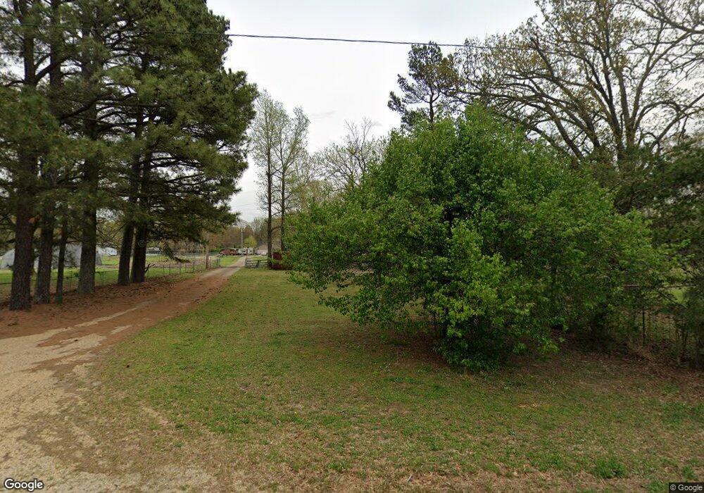
719 Mcpherson St Paragould, AR 72450
Estimated Value: $199,000 - $294,380
--
Bed
2
Baths
1,658
Sq Ft
$158/Sq Ft
Est. Value
About This Home
This home is located at 719 Mcpherson St, Paragould, AR 72450 and is currently estimated at $262,345, approximately $158 per square foot. 719 Mcpherson St is a home located in Greene County with nearby schools including Greene County Tech Primary School, Greene County Tech Elementary School, and Greene County Tech Intermediate School.
Ownership History
Date
Name
Owned For
Owner Type
Purchase Details
Closed on
Nov 10, 2022
Sold by
W H Reynolds Trust and Reynolds W
Bought by
Watson Andrew C and Watson Heather
Current Estimated Value
Home Financials for this Owner
Home Financials are based on the most recent Mortgage that was taken out on this home.
Original Mortgage
$185,000
Outstanding Balance
$179,044
Interest Rate
6.92%
Mortgage Type
New Conventional
Estimated Equity
$83,301
Purchase Details
Closed on
Jul 9, 2004
Bought by
Reynolds W H
Purchase Details
Closed on
Aug 22, 1996
Bought by
Sandra Meeker
Create a Home Valuation Report for This Property
The Home Valuation Report is an in-depth analysis detailing your home's value as well as a comparison with similar homes in the area
Home Values in the Area
Average Home Value in this Area
Purchase History
| Date | Buyer | Sale Price | Title Company |
|---|---|---|---|
| Watson Andrew C | $275,000 | None Listed On Document | |
| Reynolds W H | -- | -- | |
| Sandra Meeker | $40,000 | -- |
Source: Public Records
Mortgage History
| Date | Status | Borrower | Loan Amount |
|---|---|---|---|
| Open | Watson Andrew C | $185,000 |
Source: Public Records
Tax History Compared to Growth
Tax History
| Year | Tax Paid | Tax Assessment Tax Assessment Total Assessment is a certain percentage of the fair market value that is determined by local assessors to be the total taxable value of land and additions on the property. | Land | Improvement |
|---|---|---|---|---|
| 2025 | $1,498 | $36,050 | $5,850 | $30,200 |
| 2024 | $1,432 | $36,050 | $5,850 | $30,200 |
| 2023 | $1,364 | $29,720 | $5,600 | $24,120 |
| 2022 | $686 | $29,720 | $5,600 | $24,120 |
| 2021 | $683 | $29,720 | $5,600 | $24,120 |
| 2020 | $1,055 | $24,370 | $5,560 | $18,810 |
| 2019 | $680 | $24,370 | $5,560 | $18,810 |
| 2018 | $705 | $24,370 | $5,560 | $18,810 |
| 2017 | $1,022 | $24,370 | $5,560 | $18,810 |
| 2016 | $670 | $24,370 | $5,560 | $18,810 |
| 2015 | $655 | $23,760 | $5,250 | $18,510 |
| 2014 | -- | $23,760 | $5,250 | $18,510 |
Source: Public Records
Map
Nearby Homes
- 0 Mcpherson Ln
- 4105 Cedar Valley Dr
- 202 Foxfire Dr
- 700 Cedar Ridge Rd
- 601 N Center Hill Rd
- 3710 W Kingshighway
- 2903 Brookside Cir
- 2820 Brookside Cir
- 1103 N 29th St
- 33 Acres M L Greene 710 Rd
- 203 Bellwood Dr
- 102 Magnolia Dr
- 106 Magnolia Dr
- 1002 Reynolds Rd
- 4214 W Kingshighway
- 402 Bellwood Dr
- 1 N Rockingchair Rd
- 203 N Rockingchair Rd
- 4063 GRE 934 Rd
- 2075 S 141 Hwy
- 809 Mcpherson St Unit 811
- 3600 Shelby Dr
- 3602 Shelby Dr
- 3604 Shelby Dr
- 3608 Shelby Dr
- 3601 Shelby Dr
- 3605 Shelby Dr
- 721 Mcpherson St
- 3610 Shelby Dr
- 3607 Shelby Dr
- 903 Mcpherson St
- 3609 Shelby Dr
- 3612 Shelby Dr
- 3607 Emilee Jo Dr
- 3611 Shelby Dr
- 24.96 acres Mcpherson St
- 0 Mcpherson St
- 3614 Shelby Dr
- 3613 Shelby Dr
- 3609 Emilee Jo Dr
