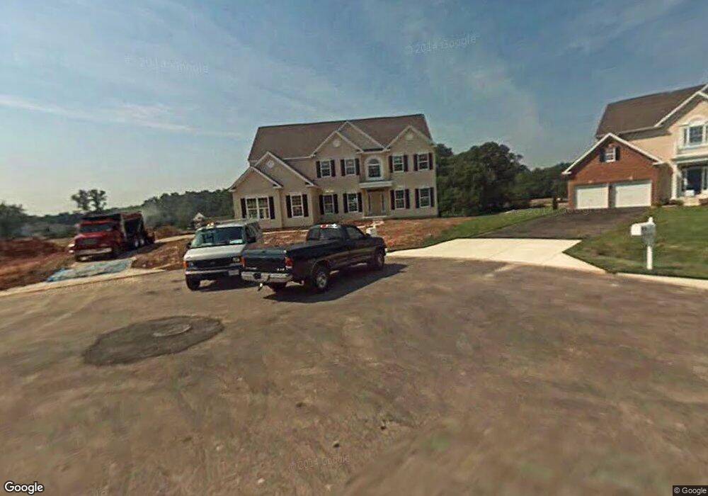
719 N Channel Dr Glen Burnie, MD 21060
Estimated Value: $761,999 - $850,000
4
Beds
4
Baths
3,814
Sq Ft
$213/Sq Ft
Est. Value
About This Home
This home is located at 719 N Channel Dr, Glen Burnie, MD 21060 and is currently estimated at $813,000, approximately $213 per square foot. 719 N Channel Dr is a home located in Anne Arundel County with nearby schools including Freetown Elementary School, Marley Middle School, and Glen Burnie High School.
Ownership History
Date
Name
Owned For
Owner Type
Purchase Details
Closed on
Jan 20, 2010
Sold by
North Shore Dev Ii Llc
Bought by
Hopwood Christopher and Hopwood Regina
Current Estimated Value
Home Financials for this Owner
Home Financials are based on the most recent Mortgage that was taken out on this home.
Original Mortgage
$537,469
Outstanding Balance
$349,823
Interest Rate
4.78%
Mortgage Type
VA
Estimated Equity
$463,177
Create a Home Valuation Report for This Property
The Home Valuation Report is an in-depth analysis detailing your home's value as well as a comparison with similar homes in the area
Home Values in the Area
Average Home Value in this Area
Purchase History
| Date | Buyer | Sale Price | Title Company |
|---|---|---|---|
| Hopwood Christopher | $542,115 | -- |
Source: Public Records
Mortgage History
| Date | Status | Borrower | Loan Amount |
|---|---|---|---|
| Open | Hopwood Christopher | $537,469 |
Source: Public Records
Tax History Compared to Growth
Tax History
| Year | Tax Paid | Tax Assessment Tax Assessment Total Assessment is a certain percentage of the fair market value that is determined by local assessors to be the total taxable value of land and additions on the property. | Land | Improvement |
|---|---|---|---|---|
| 2025 | $7,104 | $694,600 | $124,400 | $570,200 |
| 2024 | $7,104 | $654,333 | $0 | $0 |
| 2023 | $6,897 | $614,067 | $0 | $0 |
| 2022 | $6,426 | $573,800 | $124,400 | $449,400 |
| 2021 | $12,804 | $571,467 | $0 | $0 |
| 2020 | $6,340 | $569,133 | $0 | $0 |
| 2019 | $6,322 | $566,800 | $91,100 | $475,700 |
| 2018 | $5,731 | $565,167 | $0 | $0 |
| 2017 | $6,125 | $563,533 | $0 | $0 |
| 2016 | -- | $561,900 | $0 | $0 |
| 2015 | -- | $555,933 | $0 | $0 |
| 2014 | -- | $549,967 | $0 | $0 |
Source: Public Records
Map
Nearby Homes
- 7917 Solley Rd
- 618 N Shore Dr
- 708 Willow Tree Dr
- 706 Millhouse Dr
- 452 Lincoln Dr
- 7991 Pauls Dr
- 5718 Howard Manor Dr
- 7564 Stonehouse Run Dr
- 410 Thelma Rd
- 504 Walters Place
- 7828 Spencer Rd
- 8113 Stone Haven Dr
- 595 Shady Brook
- 8212 Hickory Hollow Dr
- 376 Jamie Ct
- 1252 Barkleyridge Ln
- 6824 Winterhill Ln
- 1244 Barkleyridge Ln
- 6828 Winterhill Ln
- 1240 Barkleyridge Ln
- 717 N Channel Dr
- 706 Hurricane Hole Ct
- 7992 High Oak Rd
- 7994 High Oak Rd
- 708 Hurricane Hole Ct
- 714 N Channel Dr
- 718 N Channel Dr
- 710 Hurricane Hole Ct
- 720 N Channel Dr
- 704 Hurricane Hole Ct
- 716 N Channel Dr
- 712 Hurricane Hole Ct
- 722 N Channel Dr
- 7991 High Oak Rd
- 724 N Channel Dr
- 7993 High Oak Rd
- 6 N Channel Dr
- 7 N Channel Dr
- 5 N Channel Dr
- 2 N Channel Dr
